

Implementation method of ground station three-dimensional navigation map of small unmanned air vehicle
A technology for small unmanned aerial vehicles and navigation maps, which is used in navigation, mapping and navigation, and measurement devices to achieve the effects of easy maintenance, low cost, and improved flight safety.
- Summary
- Abstract
- Description
- Claims
- Application Information
AI Technical Summary
Problems solved by technology
Method used
Image

Examples
Embodiment Construction
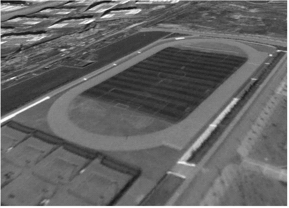
[0020] The present invention will be further described below in conjunction with accompanying drawing and concrete Google Earth map implementation example:
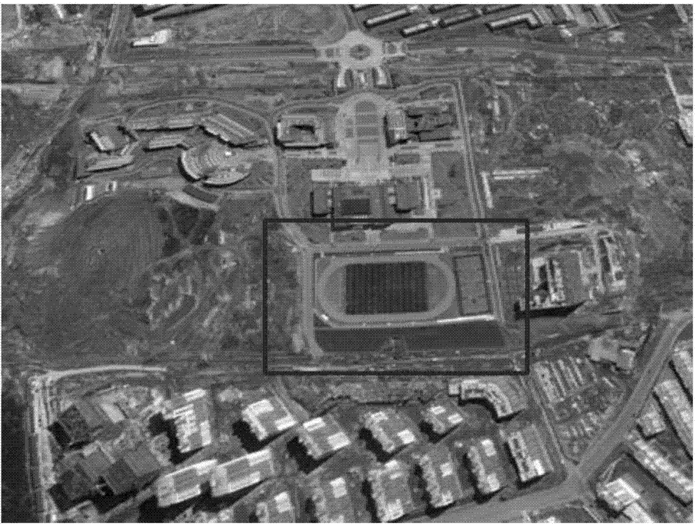
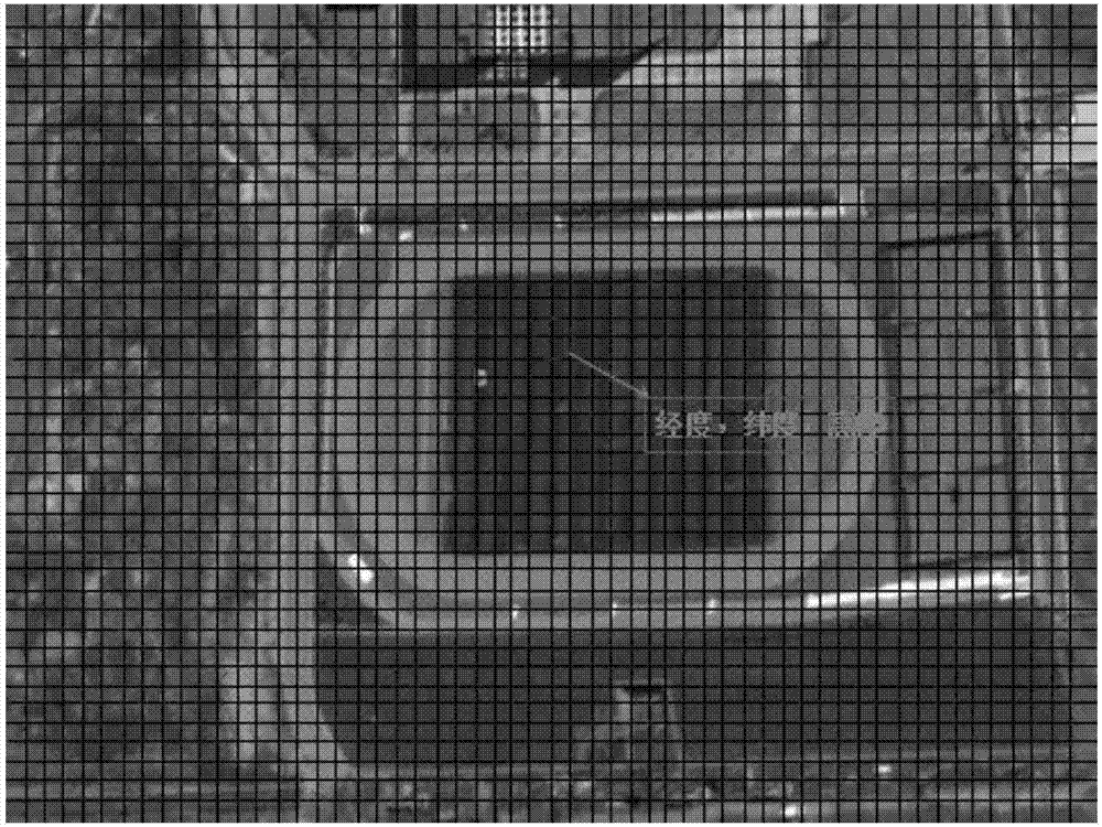
[0021] like Figure 5 The execution process of the present invention is as follows: the secondary development interface Google Earth API that Google Earth map provides obtains Google Earth network map data, and is stored in two-dimensional array, and each unit of array preserves the geographic coordinates of each map node, including longitude , latitude and altitude; use the saved map data to draw a three-dimensional map in the navigation map area of the ground station through the three-dimensional drawing interface; after the ground station receives the position information of the drone, it draws the track and model of the drone on the three-dimensional map to realize Ground station 3D navigation map function.
[0022] As mentioned earlier, using Google Earth API to obtain 3D map data requires embedding the Google Ear...
PUM
 Abstract
Description
Claims
Application Information