High-precision map data structure, high-precision map data acquiringand processing system and high-precision map data acquiringand processingmethod

A map data and processing system technology, applied to road network navigators and other directions, can solve problems such as easy to be blocked, high cost, large amount of data, etc., and achieve the effect of low acquisition cost, high resolution, and wide field of view

Active Publication Date: 2015-04-22
SHANGHAI JIAO TONG UNIV
View PDF7 Cites 81 Cited by
  • Summary
  • Abstract
  • Description
  • Claims
  • Application Information

AI Technical Summary

Problems solved by technology

Using lidar to collect information has high accuracy and good globality, but the cost is high, the amount of data is large, and the generated image is a reflectanc...

Method used


Image

  • High-precision map data structure, high-precision map data acquiringand processing system and high-precision map data acquiringand processingmethod
  • High-precision map data structure, high-precision map data acquiringand processing system and high-precision map data acquiringand processingmethod
  • High-precision map data structure, high-precision map data acquiringand processing system and high-precision map data acquiringand processingmethod

Examples


Embodiment Construction

[0046] The present invention will be described in detail below in conjunction with specific embodiments. The following examples will help those skilled in the art to further understand the present invention, but do not limit the present invention in any form. It should be noted that those skilled in the art can make several modifications and improvements without departing from the concept of the present invention. These all belong to the protection scope of the present invention.

[0047] The present invention designs a layered data storage structure of a lane-level high-precision road map, and its structure is as follows:

[0048] The first layer: road network;

[0049] The second layer: lane network;

[0050] The third layer: lane line information;

[0051] The fourth layer: traffic signs, traffic lights and other special information.

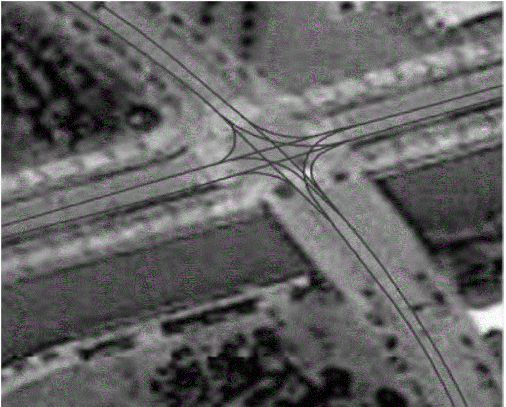
[0052] tier one and conventional Figure 1 It is the road-level network structure, and the following are some data tables:

[0053] ...


PUM


Abstract

The invention provides a high-precision map data structure, ahigh-precision map data acquiringand processing system and a high-precision map data acquiringand processingmethod. The high-precision map data structure adopts a layering structure and comprises four layers of structures in total, wherein all layers of data are inter-related, i.e., the first layer is a road network; the second layer is a lane network and is related to roads of the first layer; the third layer is lane line information and simultaneously is related to roads of the second layer; and the fourth layer is special information data. The system comprises a panoramic image shooting and processing module, a GPS processing module, an inertial navigation module, a rotary encoder and a geographicinformation processing module. According to the invention, a panoramic camera is used for shooting panoramic images of the roads, simultaneously, GPS original data, inertial navigation device data, rotary encoder data are acquired, different perspectives of projection images of single panoramic image, corresponding GPS and vehicle course angle information are obtained by processing the data, and then geographicinformation data of roads is labeled according to the defined data structure, so that a high-precision map is obtained.

Description

technical field [0001] The present invention relates to the fields of geographic information data collection and map surveying and mapping, in particular to a high-definition map data structure, a system and method for collecting and processing high-definition map data based on panoramic images. Background technique [0002] The Global Positioning System (GPS) provides a relatively mature positioning technology for geographic information collection, and is also a provider of geographic information data necessary in the process of making high-precision maps. The accuracy of ordinary single-point GPS is far from meeting the requirements of establishing a lane-level map. Generally, a differential system (RTK-GPS) is used to improve the positioning accuracy of GPS. However, in practice, RTK-GPS has high requirements on the quality of GPS signals, and the coverage of base station stations is limited, and it is very easy to fail because of buildings and trees blocking the signal, ...

Claims


Application Information

Patent Timeline
IPC IPC(8): G01C21/32
CPCG01C21/32
Inventor 杨明贺勇路昊王春香王冰
Owner SHANGHAI JIAO TONG UNIV
Why Eureka
Try Eureka