A Method of Remote Sensing Forest Biomass Retrieval
A forest biomass and remote sensing technology, which is applied in the field of remote sensing forest biomass inversion, can solve the problems of biomass inversion, shallow feature variable mining depth, low specificity, etc., and achieves the effect of facilitating mechanism interpretation and increasing cost.
- Summary
- Abstract
- Description
- Claims
- Application Information
AI Technical Summary
Problems solved by technology
Method used
Image
Examples
Embodiment 1
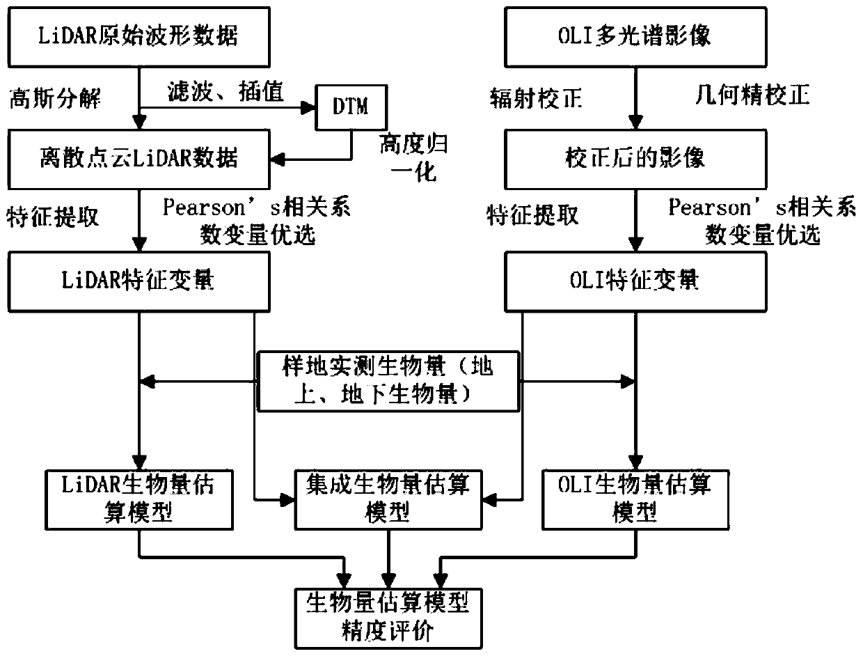
[0040] A remote sensing forest biomass inversion method, the technical route is as follows figure 1 As shown, this method is a remote sensing forest biomass inversion method that integrates LiDAR point cloud and OLI multispectral feature variables. Extract the characteristic variables of the vegetation canopy from the multi-spectral and multi-spectral (including the spectral information of the upper surface of the canopy) data; filter the above LiDAR point cloud and multi-spectral characteristic variables through correlation analysis, and combine the measured biomass information on the ground with a stepwise regression model to reflect aboveground and belowground biomass. details as follows:
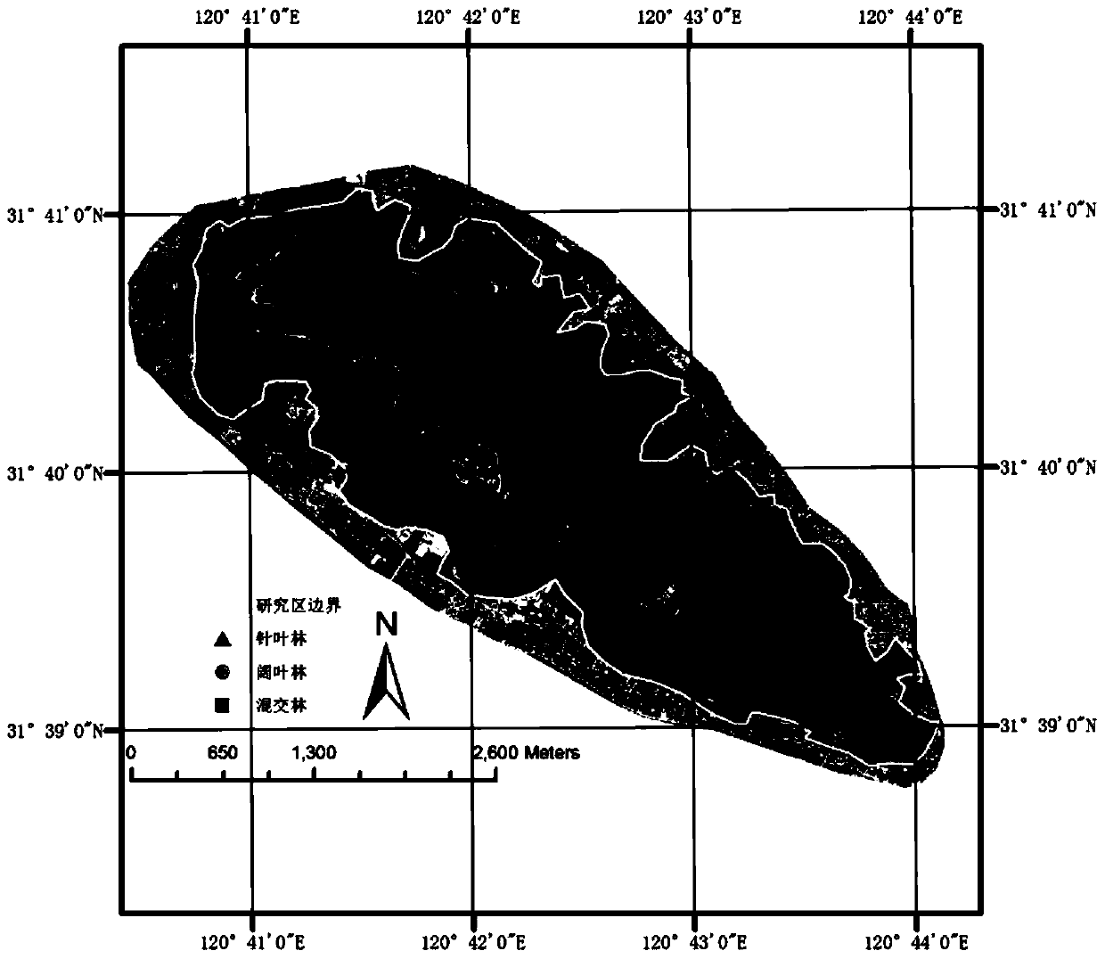
[0041] The research area is located in the state-run Yushan Forest Farm in Changshu City, Jiangsu Province (120°42′9.4″E, 31°40′4.1″N), which has a subtropical monsoon climate with a mild climate, an average annual precipitation of 1054 mm, and an area of about 1103hm 2 , and its alt...
PUM
 Abstract
Description
Claims
Application Information
 - R&D
- Intellectual Property
- Life Sciences
- Materials
- Tech Scout
- Unparalleled Data Quality
- Higher Quality Content
- 60% Fewer Hallucinations
Browse by: Latest US Patents, China's latest patents, Technical Efficacy Thesaurus, Application Domain, Technology Topic, Popular Technical Reports.
© 2025 PatSnap. All rights reserved.Legal|Privacy policy|Modern Slavery Act Transparency Statement|Sitemap|About US| Contact US: help@patsnap.com


