A Spatial Division Method for Intersecting Linear Geographical Elements
A technology of geographic elements and spatial subdivision, applied in the field of geographic information technology and applications, can solve problems such as subdivision errors, low efficiency, and the influence of original element shapes, and achieve a high degree of automation
- Summary
- Abstract
- Description
- Claims
- Application Information
AI Technical Summary
Problems solved by technology
Method used
Image
Examples
Embodiment Construction
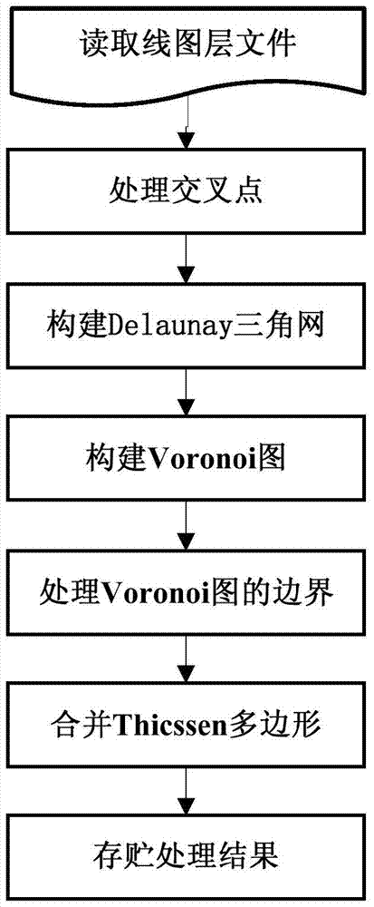
[0039] The effects of the present invention will be further described below by describing an example of spatial division for linear geographic elements in conjunction with the accompanying drawings. In this example, a line layer in shp format is selected as the experimental data.
[0040] The specific implementation process is as follows:
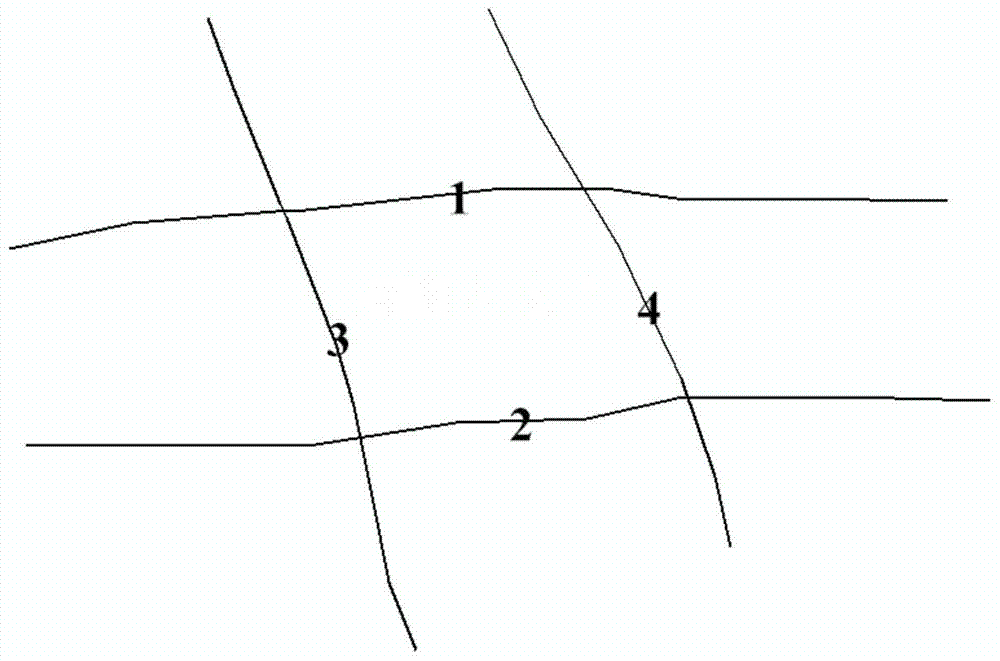
[0041] 1. Open the line layer file named "Road", such as figure 2 shown. Stored in the line feature set L, in this example the set L contains 4 line features, namely l 1 , l 2 , l 3 , l 4 . Its ID attributes are 1, 2, 3, 4 respectively.
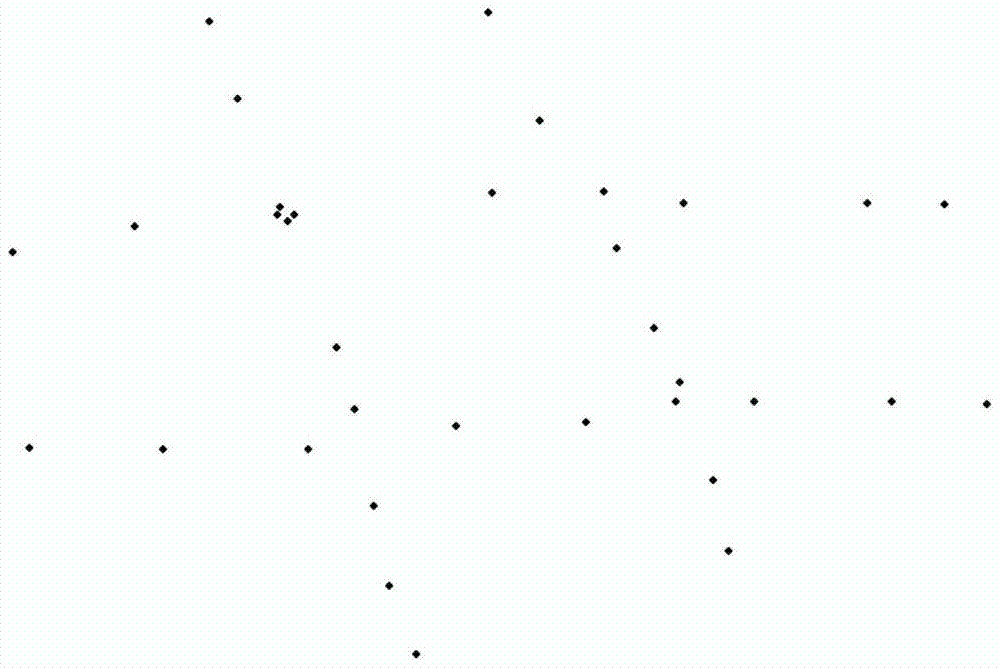
[0042] 2. Obtain the intersection point C between different line elements in L and perform interpolation processing. The point sets of the four line elements in this example are as follows image 3 shown. There are 4 intersection points in the example, namely point C 1 (-96.07, 0.33), point C 2 (-24.39, 5.74), point C 3 (-75.71, -51.78) and point C 4 (-0.39, -42.68). For each intersection po...
PUM
 Abstract
Description
Claims
Application Information
 - R&D
- Intellectual Property
- Life Sciences
- Materials
- Tech Scout
- Unparalleled Data Quality
- Higher Quality Content
- 60% Fewer Hallucinations
Browse by: Latest US Patents, China's latest patents, Technical Efficacy Thesaurus, Application Domain, Technology Topic, Popular Technical Reports.
© 2025 PatSnap. All rights reserved.Legal|Privacy policy|Modern Slavery Act Transparency Statement|Sitemap|About US| Contact US: help@patsnap.com


