Near-rectangle guide based remote-sensing cornfield image segmentation method
A remote sensing image and cornfield technology, applied in the field of agricultural remote sensing image segmentation, can solve the problem of unsatisfactory segmentation results and achieve good segmentation results and good continuity
- Summary
- Abstract
- Description
- Claims
- Application Information
AI Technical Summary
Problems solved by technology
Method used
Image
Examples
Embodiment Construction
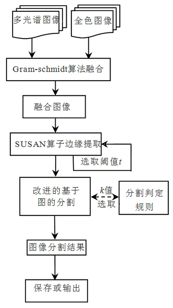
[0029] The present invention will be described in detail below with reference to the accompanying drawings. Taking a corn planting area in Lantian County, Shaanxi Province in the GF-1 satellite digital remote sensing image as an example, the present invention is used for segmentation and corn reference standard area statistics. A method for segmentation of corn field remote sensing image guided by a rectangle, including the following steps:
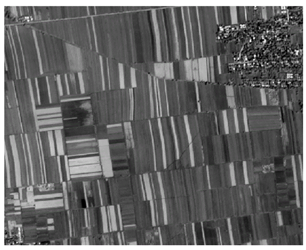
[0030] S1: Use Gram-schmidt transform to fuse the original GF-1's 2-meter panchromatic data and 8-meter multi-spectral data to obtain a fused image, improve the spatial resolution of the multi-spectral band, and enhance the clarity and interpretation of the image. image 3 Fusion image for GS;
[0031] S2: Set a 5×5 square detection template with each pixel in the fusion image as the center, until all the pixels in the fusion image are traversed, and then calculate the grayscale difference between each pixel in each template and the central pix...
PUM
 Abstract
Description
Claims
Application Information
 - R&D
- Intellectual Property
- Life Sciences
- Materials
- Tech Scout
- Unparalleled Data Quality
- Higher Quality Content
- 60% Fewer Hallucinations
Browse by: Latest US Patents, China's latest patents, Technical Efficacy Thesaurus, Application Domain, Technology Topic, Popular Technical Reports.
© 2025 PatSnap. All rights reserved.Legal|Privacy policy|Modern Slavery Act Transparency Statement|Sitemap|About US| Contact US: help@patsnap.com


