Adaptation method for intensive layout of park green land based on space correlation quantification model
A quantitative model and space technology, applied in the direction of instruments, data processing applications, calculations, etc., can solve problems such as the complex function of park green spaces
- Summary
- Abstract
- Description
- Claims
- Application Information
AI Technical Summary
Problems solved by technology
Method used
Image
Examples
Embodiment
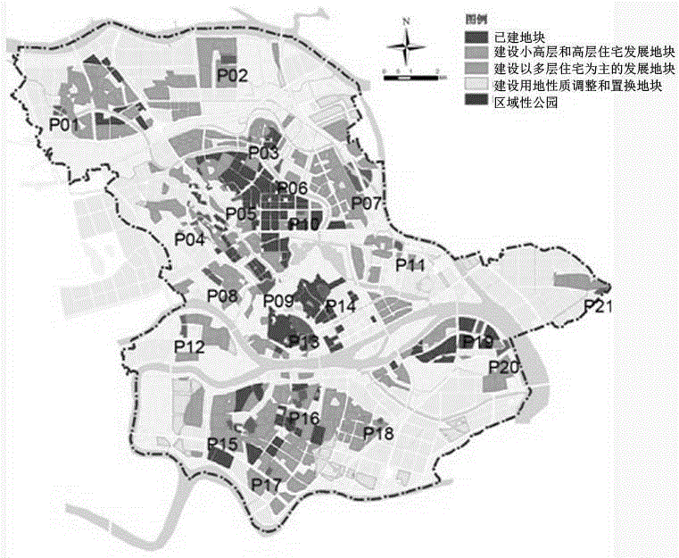
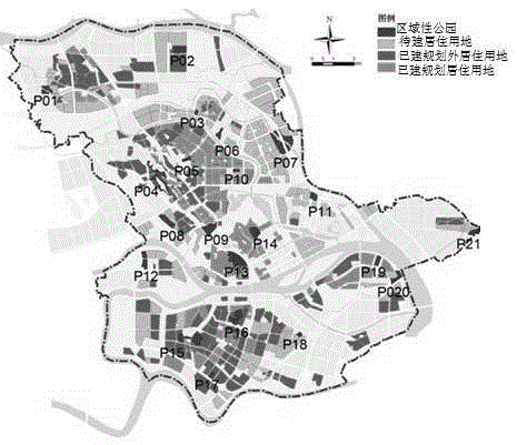
[0067] To sum up the above research, select the regional parks in the Daliang Ronggui group in the "Foshan Urban Green Space System Planning Revision (2010-2020)" as the layout adjustment object, and rely on the ArcGIS platform to discuss the intensive layout adjustment of park green space based on the spatial correlation quantitative model Applied features of the method.
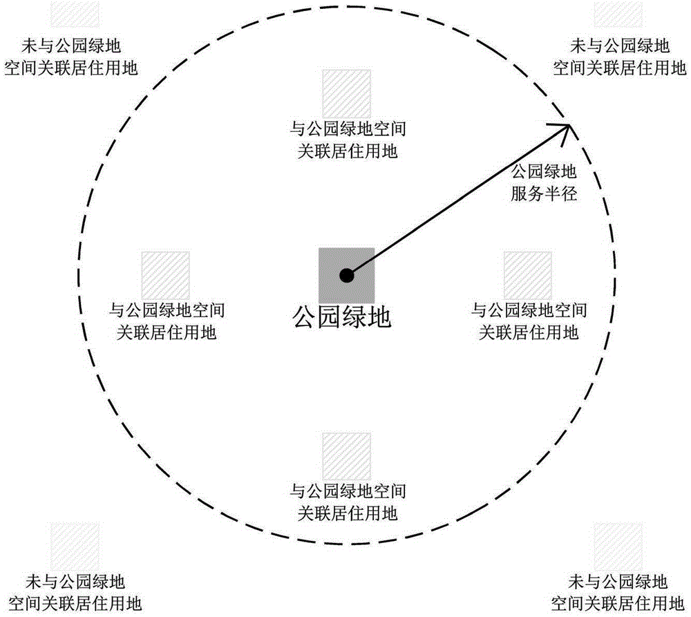
[0068] Regional parks (G112) belong to the comprehensive parks in the park green space in my country's urban green space classification system, which is equivalent to foreign district-level parks. The reason why regional parks are selected as the research object is that compared with the city-wide parks in the land use layout, their number is relatively large, their spatial structure is more diverse, and they are more closely connected with the external space environment, which can fully reflect the application characteristics of the layout adjustment method. In addition, the principle of spatial correlatio...
PUM
 Abstract
Description
Claims
Application Information
 - R&D
- Intellectual Property
- Life Sciences
- Materials
- Tech Scout
- Unparalleled Data Quality
- Higher Quality Content
- 60% Fewer Hallucinations
Browse by: Latest US Patents, China's latest patents, Technical Efficacy Thesaurus, Application Domain, Technology Topic, Popular Technical Reports.
© 2025 PatSnap. All rights reserved.Legal|Privacy policy|Modern Slavery Act Transparency Statement|Sitemap|About US| Contact US: help@patsnap.com


