Indoor-outdoor field reconnaissance method and system thereof
An indoor, outdoor and field technology, applied in the field survey method and its system field, can solve problems such as not being combined, and achieve the effect of reducing manpower and cost
- Summary
- Abstract
- Description
- Claims
- Application Information
AI Technical Summary
Problems solved by technology
Method used
Image
Examples
Embodiment Construction
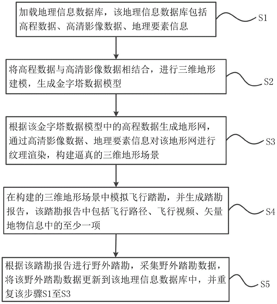
[0041] Such as figure 1 As shown, the present invention provides a field survey method for indoor and outdoor linkage, which is characterized in that it includes the steps:
[0042] S1. Loading a geographic information database, the geographic information database includes elevation data, high-definition image data, and geographic element information;
[0043] S2. Combining the elevation data with high-definition image data, performing three-dimensional terrain modeling, and generating a pyramid data model;
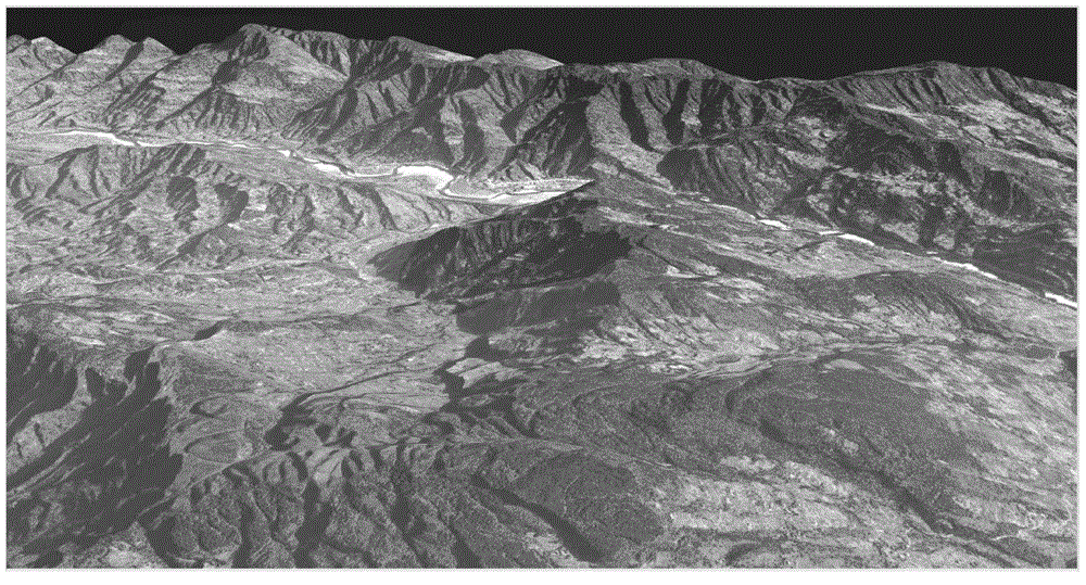
[0044] S3. Generate a terrain network according to the elevation data in the pyramid data model, and perform texture rendering on the terrain network through high-definition image data and geographic element information to construct a realistic 3D terrain scene;
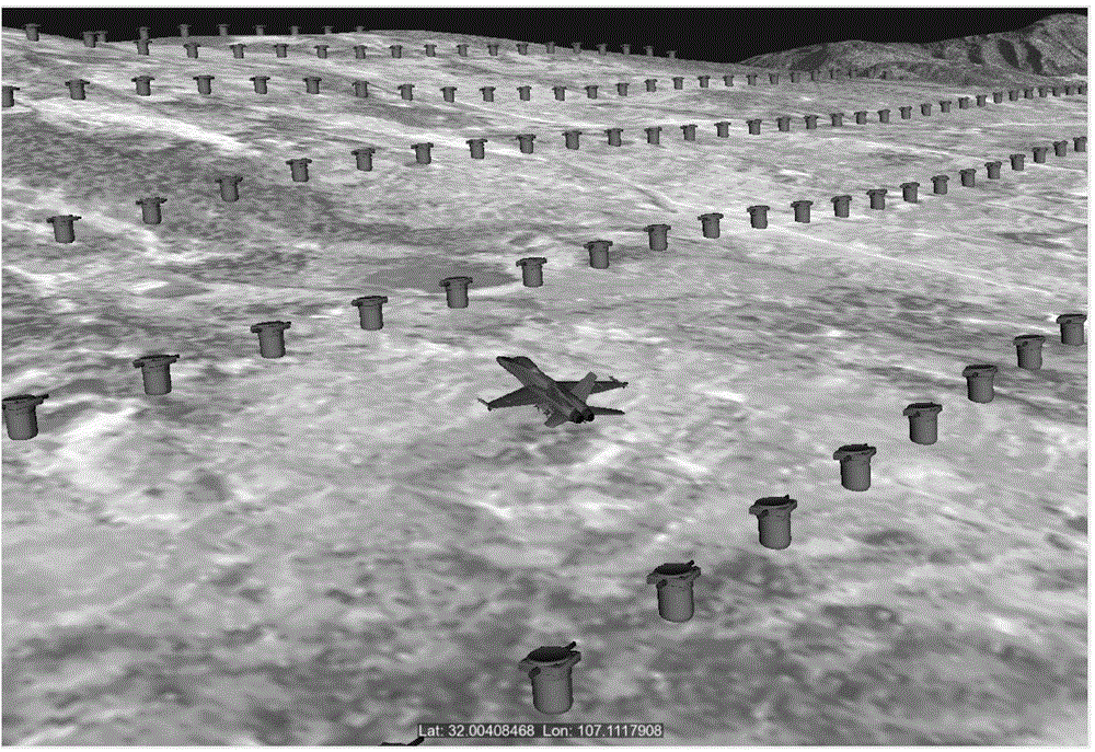
[0045] S4. Simulate the flight reconnaissance in the constructed three-dimensional terrain scene, and generate a reconnaissance report, the reconnaissance report includes at least one of the flight path, flight...
PUM
 Abstract
Description
Claims
Application Information
 - R&D
- Intellectual Property
- Life Sciences
- Materials
- Tech Scout
- Unparalleled Data Quality
- Higher Quality Content
- 60% Fewer Hallucinations
Browse by: Latest US Patents, China's latest patents, Technical Efficacy Thesaurus, Application Domain, Technology Topic, Popular Technical Reports.
© 2025 PatSnap. All rights reserved.Legal|Privacy policy|Modern Slavery Act Transparency Statement|Sitemap|About US| Contact US: help@patsnap.com


