Method for Predicting Earthquake Location and Range by Geometric Diagram Method of Groundwater Temperature Warning Points
A technology of alarm points and graphic method, applied in seismology, alarms, measuring devices, etc., can solve problems such as blanks, achieve significant social value and economic benefits, and reduce casualties and property losses
- Summary
- Abstract
- Description
- Claims
- Application Information
AI Technical Summary
Problems solved by technology
Method used
Image
Examples
Embodiment Construction
[0027] Below in conjunction with accompanying drawing, content of the present invention and specific implementation thereof are described further:
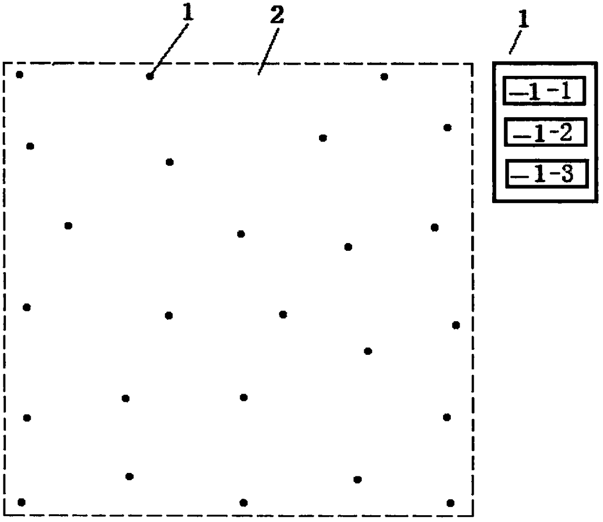
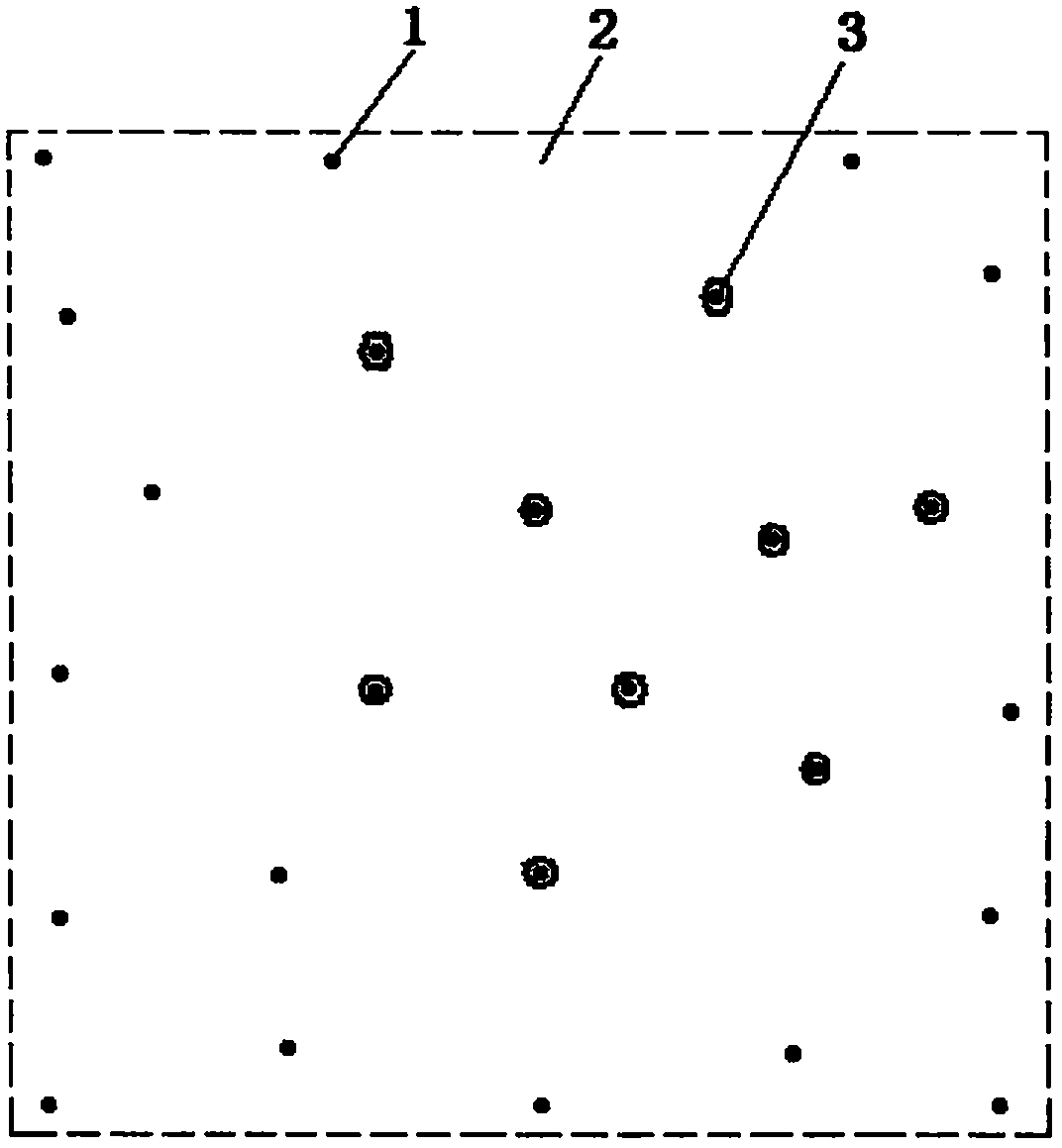
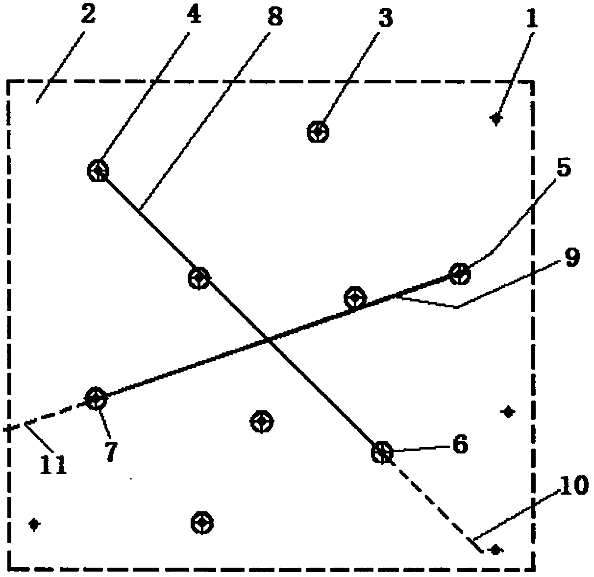
[0028] A method for predicting the location and range of an earthquake by the geometric diagram method of groundwater temperature alarm points, comprising setting many groundwater temperature monitoring points (1) and their alarm devices (1) that will sound alarms and display temperatures when the groundwater temperature rises. -1), real-time temperature display device (1-2), constant temperature display device (1-3), it is characterized in that: in the area that needs to monitor earthquake prediction, according to population density, town, village, mountain, ocean and its engineering On the ground of the facility, a groundwater temperature monitoring point (1) is set at a distance of several kilometers, tens of kilometers, or hundreds of kilometers in length and width, forming a network monitoring system of N irregularly distribut...
PUM
 Abstract
Description
Claims
Application Information
 - R&D
- Intellectual Property
- Life Sciences
- Materials
- Tech Scout
- Unparalleled Data Quality
- Higher Quality Content
- 60% Fewer Hallucinations
Browse by: Latest US Patents, China's latest patents, Technical Efficacy Thesaurus, Application Domain, Technology Topic, Popular Technical Reports.
© 2025 PatSnap. All rights reserved.Legal|Privacy policy|Modern Slavery Act Transparency Statement|Sitemap|About US| Contact US: help@patsnap.com


