Eureka AIR delivers breakthrough ideas for toughest innovation challenges, trusted by R&D personnel around the world.

Method and system for structural geodetic mapping based on arcengine

A geodetic and structural technology, applied in geophysical surveying, measuring devices, electromagnetic measuring devices, etc., can solve the problems of drawing structural geomorphic deformation fields and source mechanisms that cannot be visualized, achieve the effect of simple and intuitive drawing operation, and improve drawing efficiency

Inactive Publication Date: 2019-07-23
WUHAN UNIV
View PDF8 Cites 0 Cited by
  • Summary
  • Abstract
  • Description
  • Claims
  • Application Information

AI Technical Summary

Problems solved by technology

[0004] The technical problem to be solved by the present invention is to provide a structural geodetic mapping method and system based on ArcEngine, which solves the problem that the GMT software cannot visualize structural landforms, deformation fields and focal mechanism solutions

Method used


Image

  • Method and system for structural geodetic mapping based on arcengine
  • Method and system for structural geodetic mapping based on arcengine
  • Method and system for structural geodetic mapping based on arcengine

Examples


Embodiment Construction

[0052] The present invention will be further described below in conjunction with specific examples and accompanying drawings.

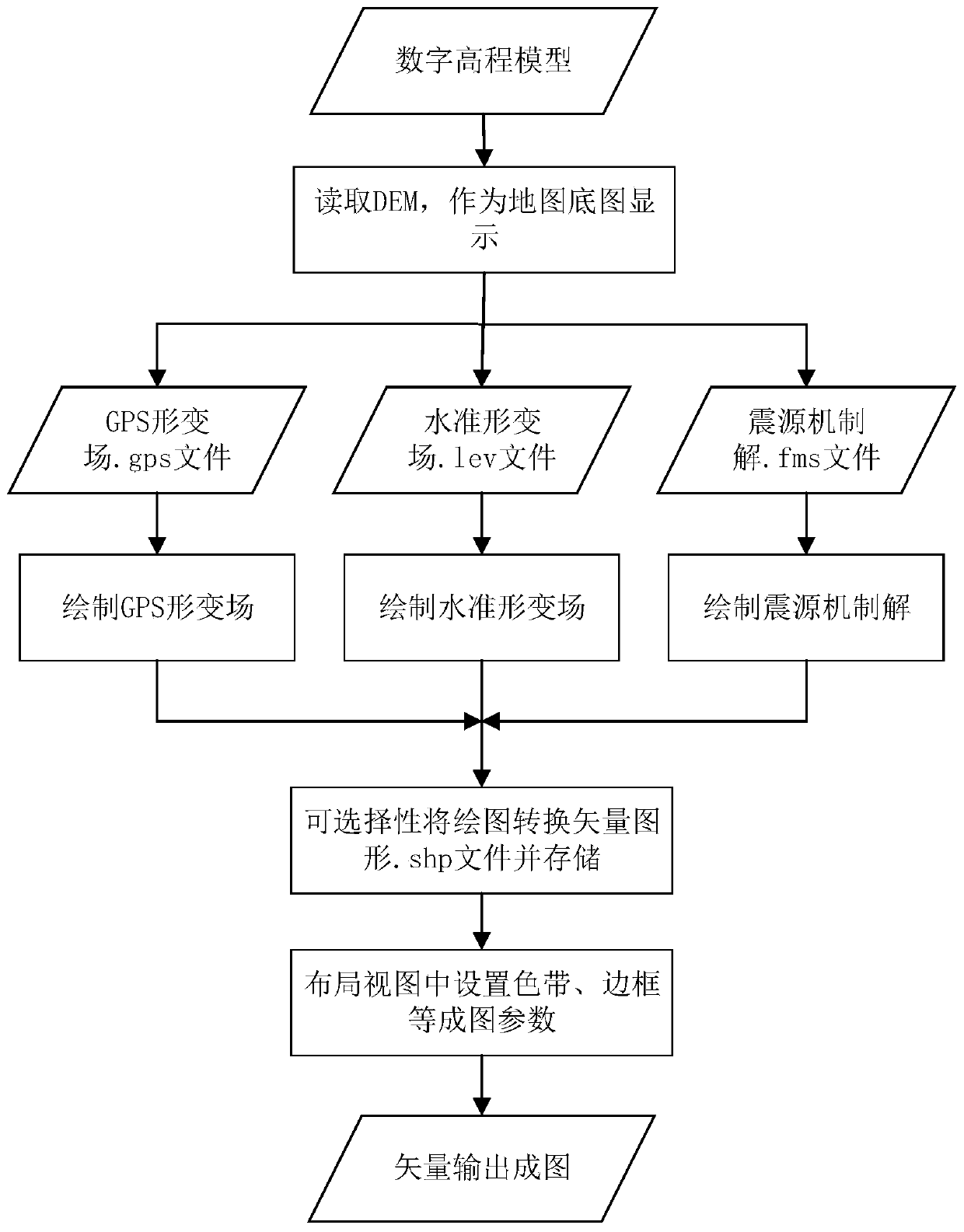
[0053] The present invention provides a method for constructing geodetic mapping based on ArcEngine, such as figure 1 As shown, it includes the following steps:

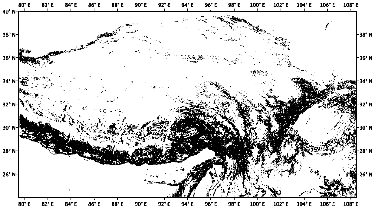
[0054] S1. Structural topography: With the help of the ArcGIS layer function, the digital elevation model of the area where the structure is located is loaded on the map as a base map, which is used to represent the topography of the structural area.

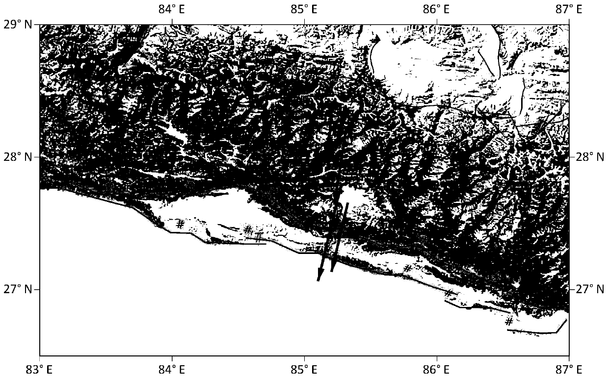
[0055] S2. Drawing GPS deformation field, horizontal deformation field and focal mechanism solution:

[0056] 2.1. According to the position of the station, the horizontal deformation value, the level deformation value and the error information in the deformation, on the digital elevation model of the area where the station is located, use ArcEngine to call the visual expression function of the 3D geographic information system, and draw the G...


PUM


Abstract

The invention provides a tectonic geodetic survey mapping method based on ArcEngine. With the aid of the function of an ArcGIS layer, a digital elevation model of an area where a structure is located is loaded on a map as a base to represent the landscape of the structure area; according to the location of a measuring station, a horizontal deformation value, a level deformation value and deformation error information, the visual expression function of a 3D geographic information system is called using ArcEngine on a digital elevation model of an area where the measuring station is located to draw a GPS deformation field and a level deformation field at the location of the measuring station; according to the location of an epicenter, seismic moment magnitude, and the strike angles, tilt angles and sliding angles of the first motion nodal planes of two P-waves, the visual expression function of the 3D geographic information system is called using ArcEngine on a digital elevation model of an area where the epicenter is located to draw a focal mechanism solution at the location of the epicenter; and mapping parameters are set, and then, vectors are output for mapping. Visual tectonic geodetic survey mapping is realized based on ArcEngine. The problem that parameters are repeatedly adjusted using a command line is avoided. The efficiency of drawing is improved.

Description

technical field [0001] The invention belongs to the field of thematic mapping, and in particular relates to an ArcEngine-based structural geodetic mapping method and system. Background technique [0002] The expression of analytical results is very important in scientific research, and the correctness and clarity of the expression of the results directly affects the reader's understanding of the analytical results. In general, geographic maps are an important way for geoscientists to express results. Through maps, readers can intuitively understand the results and make subjective evaluations. In structural geodesy, how to correctly, vividly and beautifully express structural geomorphology, deformation field and focal mechanism solution information is an inevitable and significant task for geoscientists in the process of scientific research. [0003] GMT (Generic Mapping tools) software is often used in geoscience research to draw various maps. GMT is a drawing tool widely u...

Claims


Application Information

Patent Timeline
Patent Type & Authority Patents(China)
IPC IPC(8): G01B7/16G01C5/00G01V1/34G06F16/29
CPCG01B7/16G01C5/00G01V1/345G06F16/29
Inventor 江国焰许才军宋闯温扬茂
Owner WUHAN UNIV
Why Eureka
Eureka Blog
Learn More