A golf navigation method based on airborne lidar
A navigation method, golf technology, applied in the field of navigation, can solve problems such as low accuracy of virtual data and complex calculation methods, and achieve the effect of improving accuracy and simple user interface
- Summary
- Abstract
- Description
- Claims
- Application Information
AI Technical Summary
Problems solved by technology
Method used
Image
Examples
Embodiment Construction
[0052] In order to better understand the technical solution proposed by the present invention, the present invention will be further described below in conjunction with the accompanying drawings and specific embodiments.
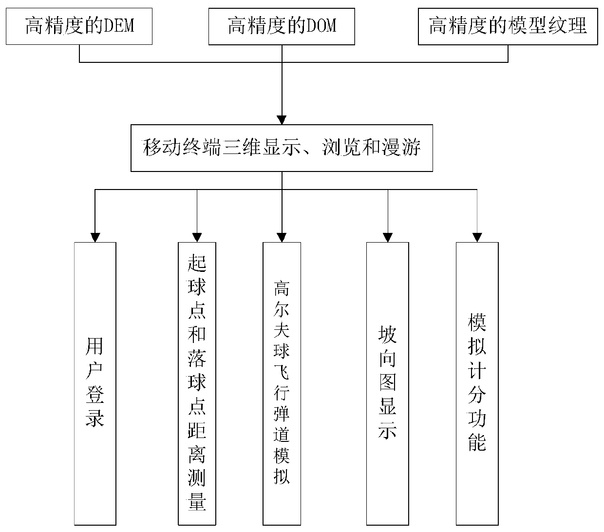
[0053] Such as figure 1 Shown, a kind of golf navigation method based on airborne LiDAR is characterized in that, comprises the steps:
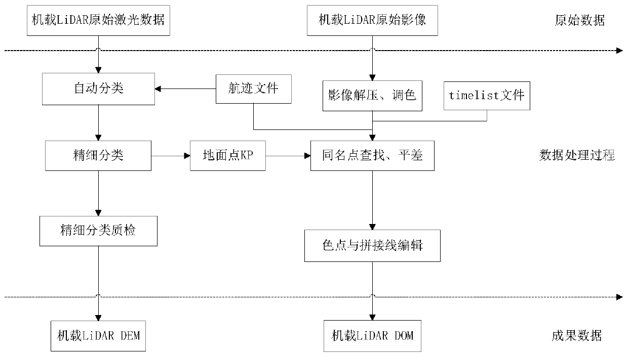
[0054] 1) Collect and process the 3D data of the golf course, and upload the processed data to the server;
[0055] 2) The terminal logs in, and can interact with the server after the verification is successful;
[0056] 3) The three-dimensional data of the golf course obtained by the terminal can browse all the holes of the golf course in real time, and observe the distance between the location and the hole;
[0057] 4) The terminal automatically measures the distance between the starting point and the landing point;
[0058] 5) Simulate the flight trajectory of golf ball;
[0059] 6) Swing strength estimation;
[0060]...
PUM
 Abstract
Description
Claims
Application Information
 - R&D
- Intellectual Property
- Life Sciences
- Materials
- Tech Scout
- Unparalleled Data Quality
- Higher Quality Content
- 60% Fewer Hallucinations
Browse by: Latest US Patents, China's latest patents, Technical Efficacy Thesaurus, Application Domain, Technology Topic, Popular Technical Reports.
© 2025 PatSnap. All rights reserved.Legal|Privacy policy|Modern Slavery Act Transparency Statement|Sitemap|About US| Contact US: help@patsnap.com


