A method for identifying urban function areas based on WeChat data and interest point data

A technology for urban function and data identification, applied in the field of big data analysis

Inactive Publication Date: 2017-07-28
HUZHOU TEACHERS COLLEGE
View PDF4 Cites 32 Cited by
  • Summary
  • Abstract
  • Description
  • Claims
  • Application Information

AI Technical Summary

Problems solved by technology

Floating car data includes the usage data of urban taxis, buses, and subways. These data rely on the city’s road network information, and can only locate human activities at t

Method used


Image

  • A method for identifying urban function areas based on WeChat data and interest point data
  • A method for identifying urban function areas based on WeChat data and interest point data
  • A method for identifying urban function areas based on WeChat data and interest point data

Examples


Embodiment Construction

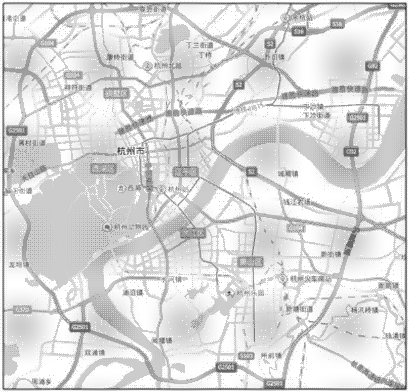
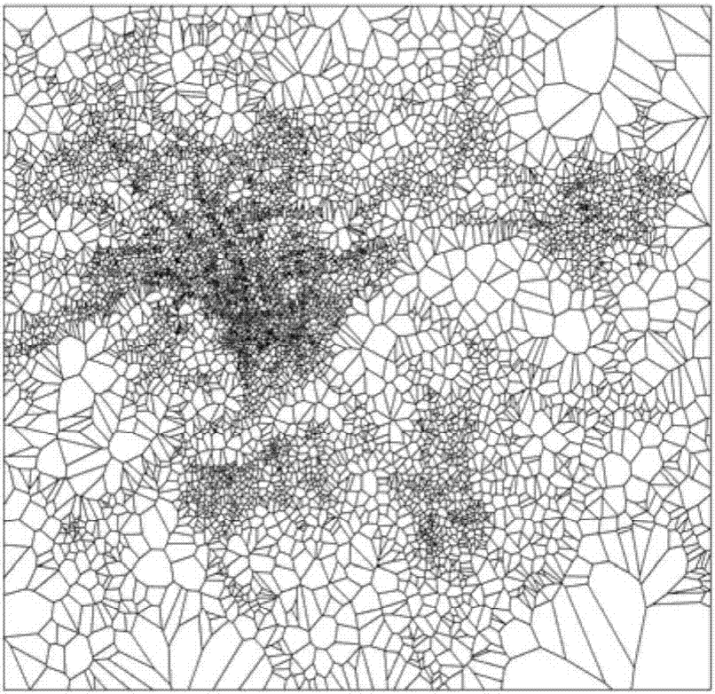
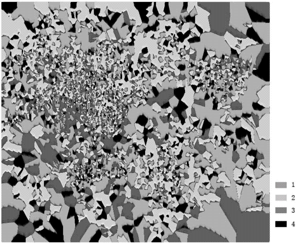
[0059] As shown in the figure, a method for identifying urban functional areas based on WeChat data and POI data includes the following steps:

[0060] Step 1. Map segmentation: Rasterize the map and number all the grids; segment the map according to the location of the mobile phone base station, calculate the distance between the center of each grid and the base station, and specify that the grid belongs to the nearest base station, and get A list of grid numbers closest to each base station, and a matrix G of grid numbers occupied by each base station; the method is as follows:

[0061] Step1. Rasterize the map: select latitude and longitude 0.0001°×0.0001° (approximately 9.6m×11.1m at latitude 120°) as a unit grid to divide the map, and number all the grids to obtain the grid Latitude and longitude list (table elements include grid number, grid longitude, and grid latitude).

[0062] Step2. Traverse to calculate the Euclidean distance between each grid center and each base...


PUM


Abstract

The invention provides a method for identifying urban function areas based on WeChat data and interest point data. The method comprises the steps of extracting a people flow matrix, an out-people flow matrix and an in-people flow matrix of each base station from the WeChat data, extracting an interest point type distribution matrix of each base station from the interest point data, and performing normalization processing on the four matrixes based on a base station area element; then performing outlier deleting operations and performing urban space division, data extracting and normalization treatment on the base stations with outliers deleted to generate a new matrix, and then performing clustering analysis on the generated new matrix; finally performing space distribution area overlap ratio calculating on a clustering result and determining functions of urban areas according to overlap ratio calculating results. The method can identify the functions of each urban area accurately, better achieve functional partitioning and characteristic analysis of urban areas, provide technical support for urban structure layout and exploitation and utilization of land, and provide a realistic basis for reasonable utilization of urban space.

Description

technical field [0001] The invention relates to the field of big data analysis, in particular to a method for identifying urban functional areas based on WeChat data and point-of-interest data. Background technique [0002] With the rapid development of the economy, a series of urban problems have come one after another, especially for some provincial capital cities or metropolises, the urban problems are particularly serious. "Urban disease" is the result of urbanization in developing countries, manifested in traffic congestion, housing shortage, insufficient water supply, energy shortage, environmental degradation, employment difficulties, etc., which has caused a burden to the city and even restricted the development of the city. It is also easy to cause physical and mental diseases of citizens. [0003] In recent years, some experts and scholars have used various heterogeneous big data for "urban computing" to solve the problems caused by urbanization. Urban computing ...

Claims


Application Information

Patent Timeline
IPC IPC(8): G06F17/30G06K9/62
CPCG06F16/29G06F18/2321
Inventor 蒋云良董墨萱刘勇邬惠峰
Owner HUZHOU TEACHERS COLLEGE
Why Eureka
Try Eureka