Automatic classification method for layered rock side slopes
A technology for automatic division of rocky slopes, applied in the field of geographic information technology applications, can solve the problems of low degree of automation, difficulty in meeting the needs of large-scale slope type division, time-consuming and labor-intensive problems, etc.
- Summary
- Abstract
- Description
- Claims
- Application Information
AI Technical Summary
Problems solved by technology
Method used
Image
Examples
Embodiment
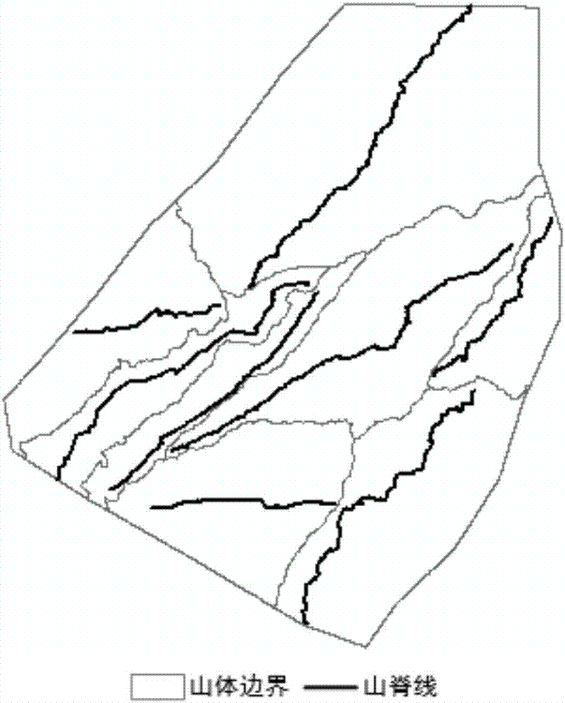
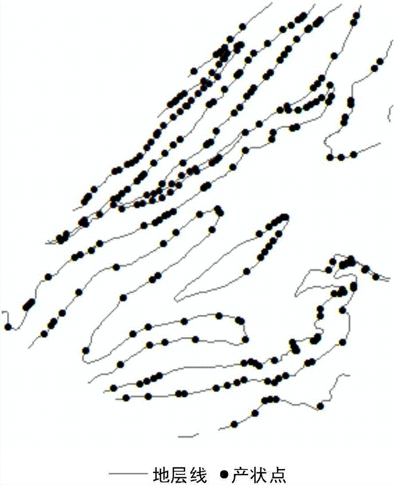
[0066] The experimental data of this example comes from the DEM data of the northern mountainous area of Lushan Mountain, and the grid size is 2162×2260. Based on the DEM data source, extract the ridgeline (such as figure 2 ), valley line and contour line data; then extract basin boundary surface data with inverse terrain DEM, and then automatically extract mountain boundary surface data based on ridge lines and valley lines (such as figure 2 ); Finally, combine the contour line and geological surface data to calculate the occurrence information of rock formations (such as image 3 ). The effects of the present invention will be further illustrated below by describing an example of automatically classifying layered rock slope types in conjunction with the accompanying drawings.
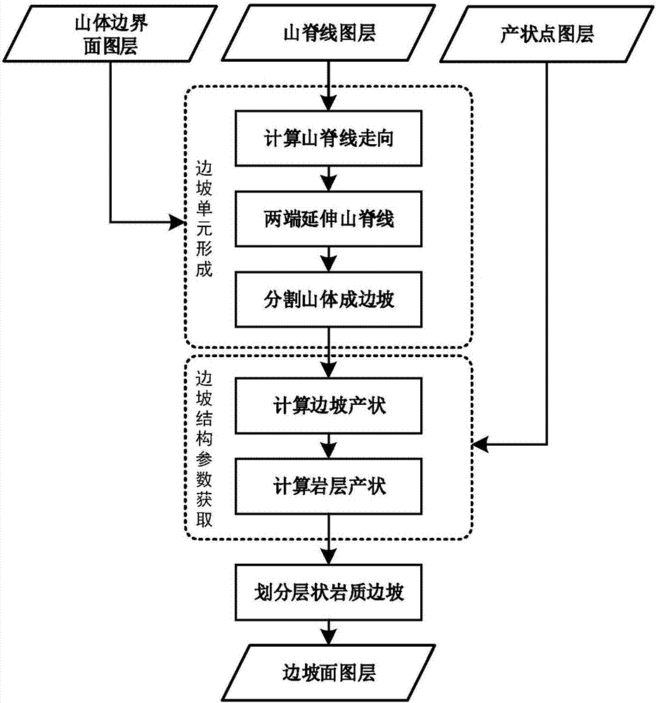
[0067] Such as figure 1 As shown, in this embodiment, the automatic division method of layered rock slope type includes the following steps:
[0068] Step (1), specifically includes:
[0069]...
PUM
 Abstract
Description
Claims
Application Information
 - R&D
- Intellectual Property
- Life Sciences
- Materials
- Tech Scout
- Unparalleled Data Quality
- Higher Quality Content
- 60% Fewer Hallucinations
Browse by: Latest US Patents, China's latest patents, Technical Efficacy Thesaurus, Application Domain, Technology Topic, Popular Technical Reports.
© 2025 PatSnap. All rights reserved.Legal|Privacy policy|Modern Slavery Act Transparency Statement|Sitemap|About US| Contact US: help@patsnap.com


