Random forest-based multifactor remote sensing surface temperature space downscaling method

A random forest and surface temperature technology, applied in computer parts, complex mathematical operations, instruments, etc., can solve problems such as unsatisfactory applications and low precision, and achieve the effect of expanding depth and breadth, improving precision and efficiency, and improving precision

Active Publication Date: 2018-03-02
HOHAI UNIV
View PDF8 Cites 32 Cited by
  • Summary
  • Abstract
  • Description
  • Claims
  • Application Information

AI Technical Summary

Problems solved by technology

Therefore, the traditional method has low accuracy for downscaling of large-scale

Method used


Image

  • Random forest-based multifactor remote sensing surface temperature space downscaling method
  • Random forest-based multifactor remote sensing surface temperature space downscaling method
  • Random forest-based multifactor remote sensing surface temperature space downscaling method

Examples


Embodiment Construction

[0031] The technical solution of the present invention will be further explained below in conjunction with the accompanying drawings.

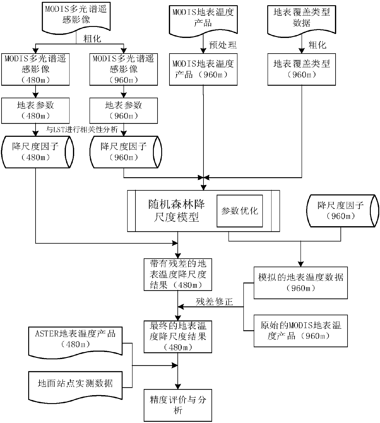
[0032] The invention proposes a random forest-based multi-factor remote sensing land surface temperature space downscaling method. Specifically include the following steps:

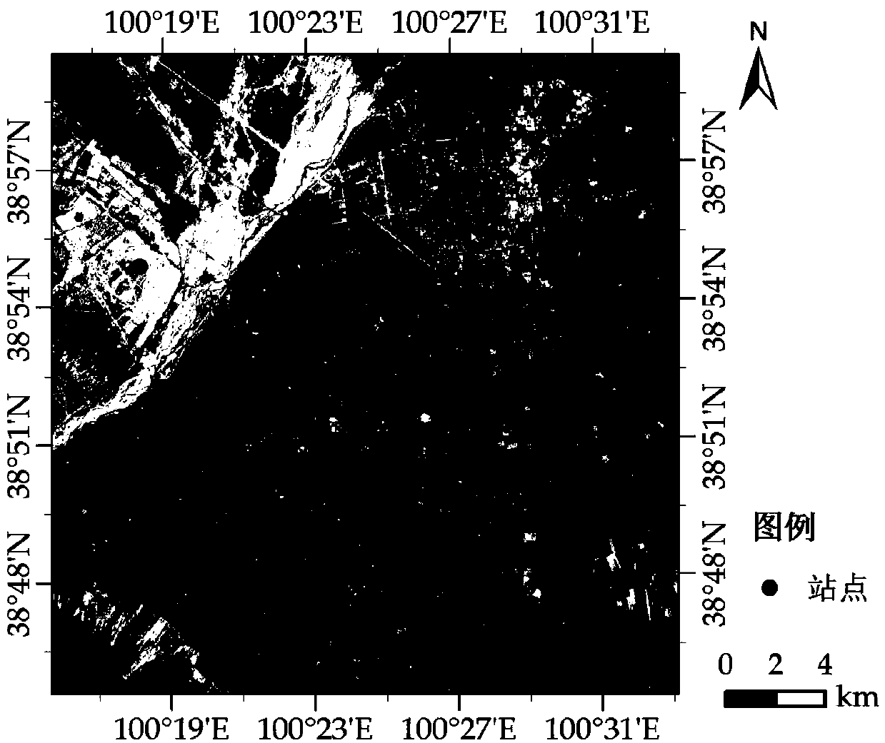
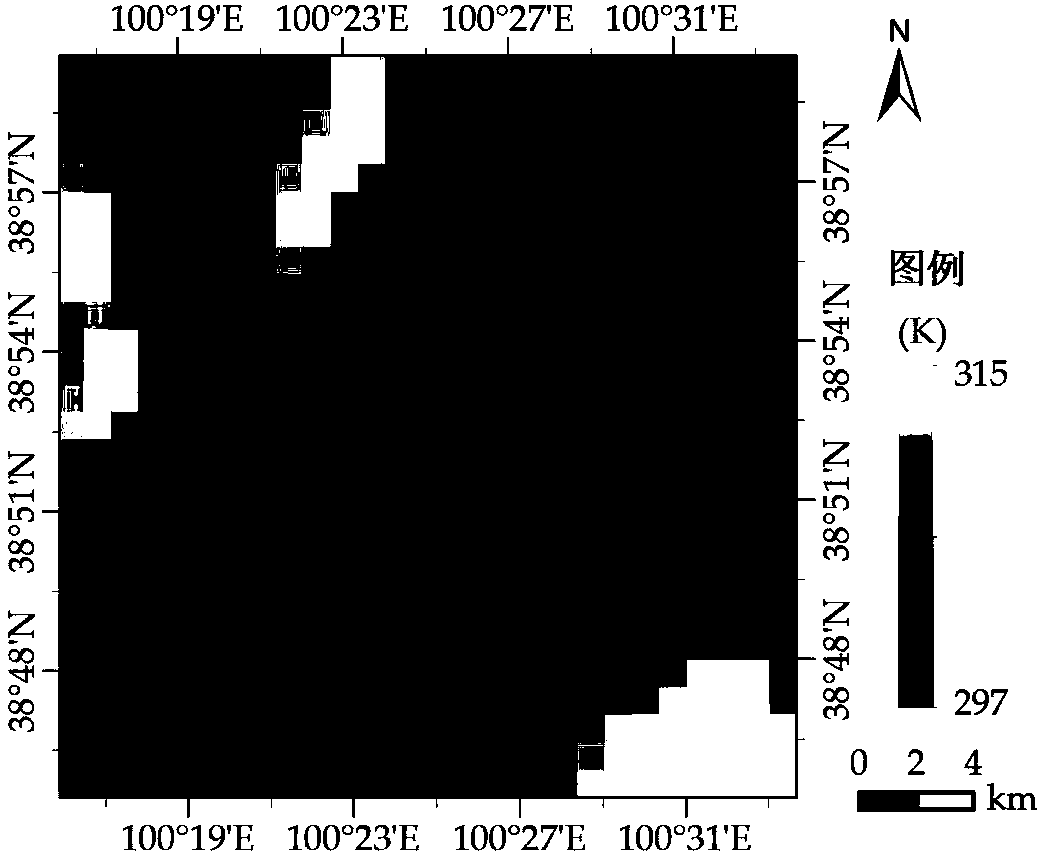
[0033] Step 1: Obtain remote sensing data and preprocessing. Obtain thermal infrared remote sensing images and multispectral remote sensing images within the study area, and perform preprocessing. The preprocessing used mainly includes image correction, resampling, cropping and other operations. Correct the multispectral and thermal infrared images of remote sensing images, resample the multispectral remote sensing images to the same resolution as the thermal infrared remote sensing images, and uniformly crop them to the same research area, and then perform temperature inversion on the thermal infrared remote sensing images Obtain the surface temperature of the study a...


PUM


Abstract

The invention discloses a random forest-based multifactor remote sensing surface temperature space downscaling method. The method comprises the following steps of: inverting multiple surface parameters which can represent water body, vegetation, building and exposed soil according to surface coverage types, and selecting the surface parameters having relatively strong relevance with a surface temperature as scale factors through relevance analysis; aiming at the problem that high-temperature regions such as deserts and exposed soil are incorrect in temperature estimation, importing short infrared bands as scale factors so as to improve the downscaling precision of the high-temperature regions; and aiming at the unbalance problem of random data extraction of random forests, adopting a method of establishing different regression models under different surface coverage types to respectively carry out downscaling under the different surface coverage types, so as to obtain a high-resolutionsurface temperature image. The method has favorable applicability in a large scale or regions with complicated surface coverage, and is capable of effectively improving the downscaling precision andefficiency.

Description

technical field [0001] The invention belongs to the field of downscaling, and in particular relates to a multi-factor remote sensing surface temperature space downscaling method based on random forest. Background technique [0002] Land Surface Temperature (LST) is an important parameter to characterize surface energy, and an important factor to study and evaluate ecosystems and climate change. Accurate surface temperature products are of great significance for monitoring urban heat islands, ecological environment, agricultural drought, monitoring global climate, estimating soil moisture and other surface processes. The traditional way to obtain surface temperature is through the observation data of surface meteorological stations. The observation station data has high precision and time continuity, but the monitoring coverage area is limited, which is not suitable for large-scale temperature monitoring. At present, the main way to obtain the surface temperature is through ...

Claims


Application Information

Patent Timeline
IPC IPC(8): G06F17/18G06K9/00
CPCG06F17/18G06V20/13
Inventor 杨英宝李小龙潘鑫曹晨朱琴黄璐
Owner HOHAI UNIV
Why Eureka
Try Eureka