A full-area environment risk evaluation method based on an ArcGIS
A technology of environmental risk and evaluation method, applied in data processing applications, instruments, calculations, etc., can solve the problems of error tree compilation, large workload, wide parameter value, etc.
- Summary
- Abstract
- Description
- Claims
- Application Information
AI Technical Summary
Problems solved by technology
Method used
Image
Examples
Embodiment Construction
[0052] The present invention will be further described below in conjunction with the drawings.
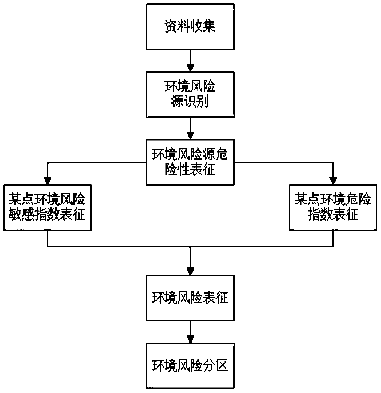
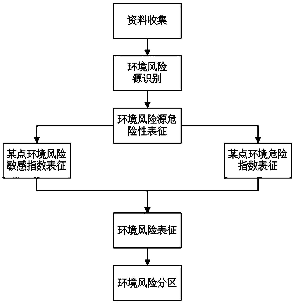
[0053] The invention is based on the ArcGIS-based global environmental risk assessment method, adopts the environmental risk index characterization method, and combines the spatial analysis technology of the geographic information system to obtain a regional environmental risk index distribution map, and combines the regional environmental risk sensitivity index distribution map to obtain the regional environment Risk distribution map, which enables environmental risk zoning and management. Such as figure 1 As shown, the specific implementation process is as follows:
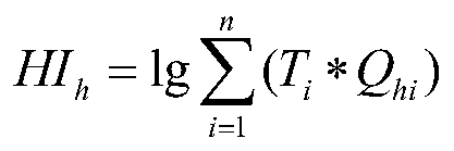
[0054] The invention is based on the ArcGIS-wide environmental risk assessment method, and is realized through a series of processes such as identification of environmental risk sources, risk characterization, regional environmental risk, sensitivity characterization and superposition. Such as figure 1 As shown, the ...
PUM
 Abstract
Description
Claims
Application Information
 - R&D
- Intellectual Property
- Life Sciences
- Materials
- Tech Scout
- Unparalleled Data Quality
- Higher Quality Content
- 60% Fewer Hallucinations
Browse by: Latest US Patents, China's latest patents, Technical Efficacy Thesaurus, Application Domain, Technology Topic, Popular Technical Reports.
© 2025 PatSnap. All rights reserved.Legal|Privacy policy|Modern Slavery Act Transparency Statement|Sitemap|About US| Contact US: help@patsnap.com


