Seismic tomographic image processing method
A technology of fault image and processing method, applied in the field of geological analysis, can solve problems such as unclear seismic fault images and difficult seismic fault interpretation
- Summary
- Abstract
- Description
- Claims
- Application Information
AI Technical Summary
Problems solved by technology
Method used
Image
Examples
Embodiment Construction
[0061] In order to have a further understanding and understanding of the structural features of the present invention and the achieved effects, the preferred embodiments and accompanying drawings are used for a detailed description, as follows:
[0062] like figure 1 Shown, a kind of seismic fault image processing method of the present invention, comprises the following steps:
[0063] The first step is to acquire the seismic fault image data set: obtain the seismic fault image data set, the seismic fault image data set includes linear geological fault structure images, curved geological fault structure images, linear and curved fault geological structure images, hierarchical geological structure images, etc.
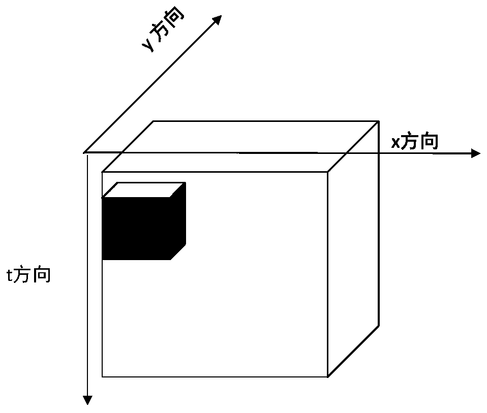
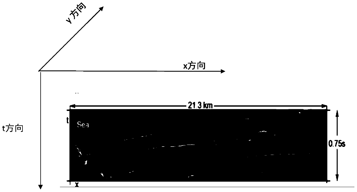
[0064] The second step is to preprocess the seismic tomographic image dataset. like figure 2 and image 3 As shown, the seismic tomographic image data set is tangent in the X-T direction to form a data cube, and a 64*64*64 cube is set as a sliding window. Here, the...
PUM
 Abstract
Description
Claims
Application Information
 - R&D
- Intellectual Property
- Life Sciences
- Materials
- Tech Scout
- Unparalleled Data Quality
- Higher Quality Content
- 60% Fewer Hallucinations
Browse by: Latest US Patents, China's latest patents, Technical Efficacy Thesaurus, Application Domain, Technology Topic, Popular Technical Reports.
© 2025 PatSnap. All rights reserved.Legal|Privacy policy|Modern Slavery Act Transparency Statement|Sitemap|About US| Contact US: help@patsnap.com


