Homestead utilization information acquisition method based on multiple methods
An acquisition method and homestead technology, applied in the field of remote sensing image information extraction, can solve the problems of large data access and low accuracy of results
- Summary
- Abstract
- Description
- Claims
- Application Information
AI Technical Summary
Problems solved by technology
Method used
Image
Examples
Embodiment Construction
[0024] The specific technical solutions of the present invention are further described in the accompanying drawings of the structural description below.
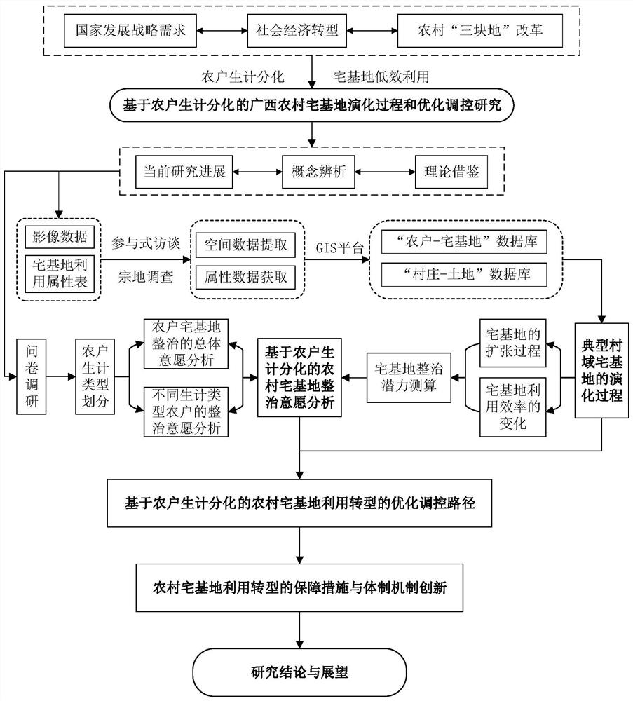
[0025] as attached figure 1 As shown, a multi-method-based homestead utilization information acquisition method of the present invention includes the following steps:
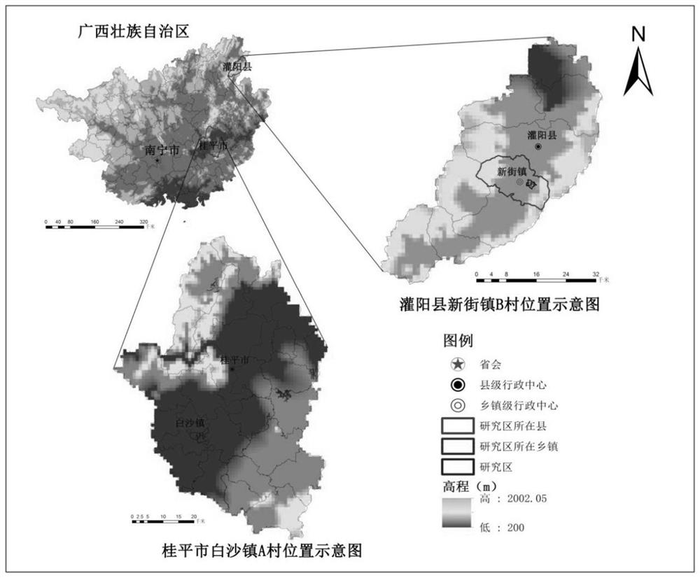
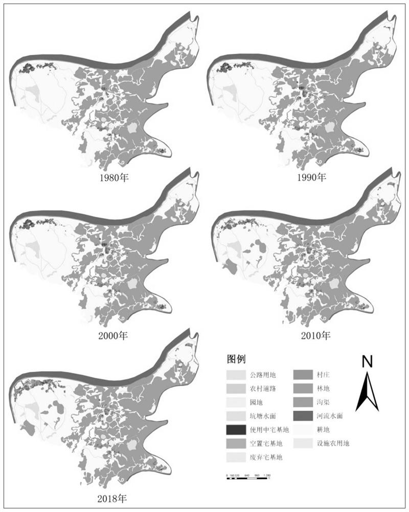
[0026] Select two typical villages, formulate homestead utilization attribute tables, rely on the detailed data of land parcel survey and household survey, and use remote sensing image data interpretation and participatory rural assessment method to obtain the spatial and attribute data of rural households’ homesteads, and obtain the rural households’ Homestead spatial data and attribute data, establish the association between spatial data and attribute data, build a "farmer-homestead" database, and use this to invert the evolution process of typical village homesteads in different historical periods, and explore the process of farmers' livelihood differentia...
PUM
 Abstract
Description
Claims
Application Information
 - R&D
- Intellectual Property
- Life Sciences
- Materials
- Tech Scout
- Unparalleled Data Quality
- Higher Quality Content
- 60% Fewer Hallucinations
Browse by: Latest US Patents, China's latest patents, Technical Efficacy Thesaurus, Application Domain, Technology Topic, Popular Technical Reports.
© 2025 PatSnap. All rights reserved.Legal|Privacy policy|Modern Slavery Act Transparency Statement|Sitemap|About US| Contact US: help@patsnap.com


