Checking, registering and path planning system for mixed reality depth fusion space positioning
A mixed reality, path planning technology, applied in user/computer interaction input/output, image analysis, instruments, etc., can solve problems such as time-consuming, demanding operation skills, cumbersome process, etc., to achieve smooth transmission and easy viewing , the effect of low latency
- Summary
- Abstract
- Description
- Claims
- Application Information
AI Technical Summary
Problems solved by technology
Method used
Image
Examples
Embodiment 1
[0050] The present invention includes the following steps:
[0051] S1. View: Share the field of view between virtual mixed reality devices. First, make the mixed reality device scan the physical space. After scanning, start the mixed reality device, start the tablet computer to scan the space and find a plane. Three logo images appear on the screen, the mixed reality device turns on the camera, starts to recognize the three logo images, and calculates the position and angle of the camera according to the three logo images, records the position and sets the spatial anchor point, and the last two The spatial integration of equipment is completed;
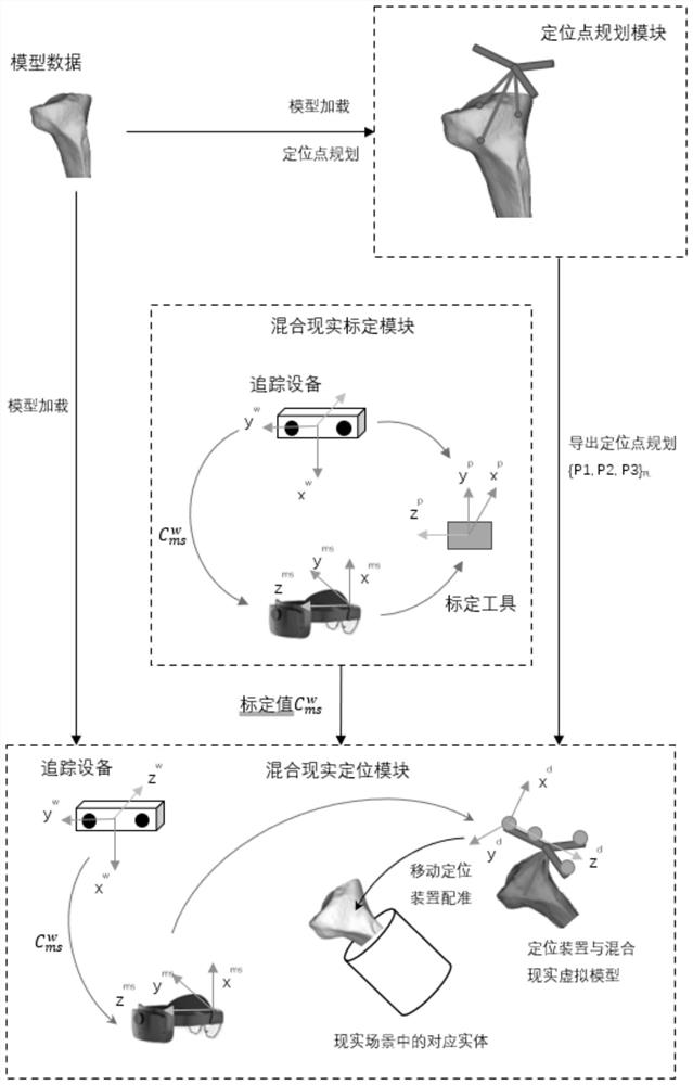
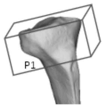
[0052] S2. Registration: import the three-dimensional model into the positioning point planning module, and combine the shape of the positioning device to obtain three model positioning points P1, P2 and P3 corresponding to the three-dimensional model; obtain the mixed reality device and the tracking device through the hybrid tracker. ...
Embodiment 2
[0094] The application of a mixed reality deep fusion spatial positioning viewing, registration and path planning system in medical puncture, which is suitable for extrasurgical puncture, thoracic puncture, and the like.
[0095] The working principle of the present invention is: using spatial mapping, objects can be placed on a real surface, and Occluding holograms based on other holograms and real-world objects helps convince users that these holograms are actually located in their space; when mixed reality As the device collects new data about the environment, the spatial surface will appear, disappear, and change if changes are made to the environment.
[0096] In the present invention, the number of photosensitive balls is 4, and there is a specific spatial geometric design. This is mainly because multiple trackers are used in the present invention, so as long as the photosensitive balls are not in a straight line, and the area of the quadrilateral formed is not less tha...
PUM
 Abstract
Description
Claims
Application Information
 - R&D
- Intellectual Property
- Life Sciences
- Materials
- Tech Scout
- Unparalleled Data Quality
- Higher Quality Content
- 60% Fewer Hallucinations
Browse by: Latest US Patents, China's latest patents, Technical Efficacy Thesaurus, Application Domain, Technology Topic, Popular Technical Reports.
© 2025 PatSnap. All rights reserved.Legal|Privacy policy|Modern Slavery Act Transparency Statement|Sitemap|About US| Contact US: help@patsnap.com


