Method for dynamicaly predicting land use change
A dynamic prediction and land technology, applied in the field of geographic modeling, can solve problems such as prediction value errors, inaccurate prediction results, prediction area size and time length limitations, etc.
- Summary
- Abstract
- Description
- Claims
- Application Information
AI Technical Summary
Problems solved by technology
Method used
Image
Examples
Embodiment Construction
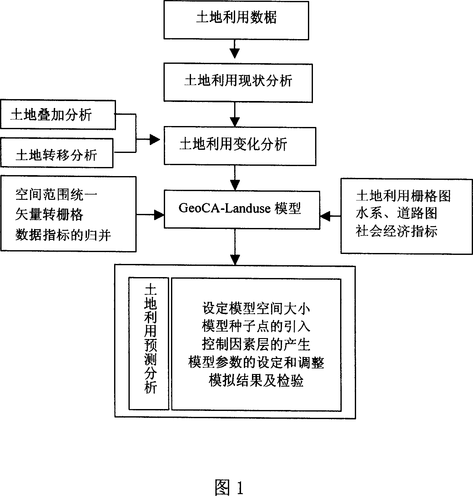
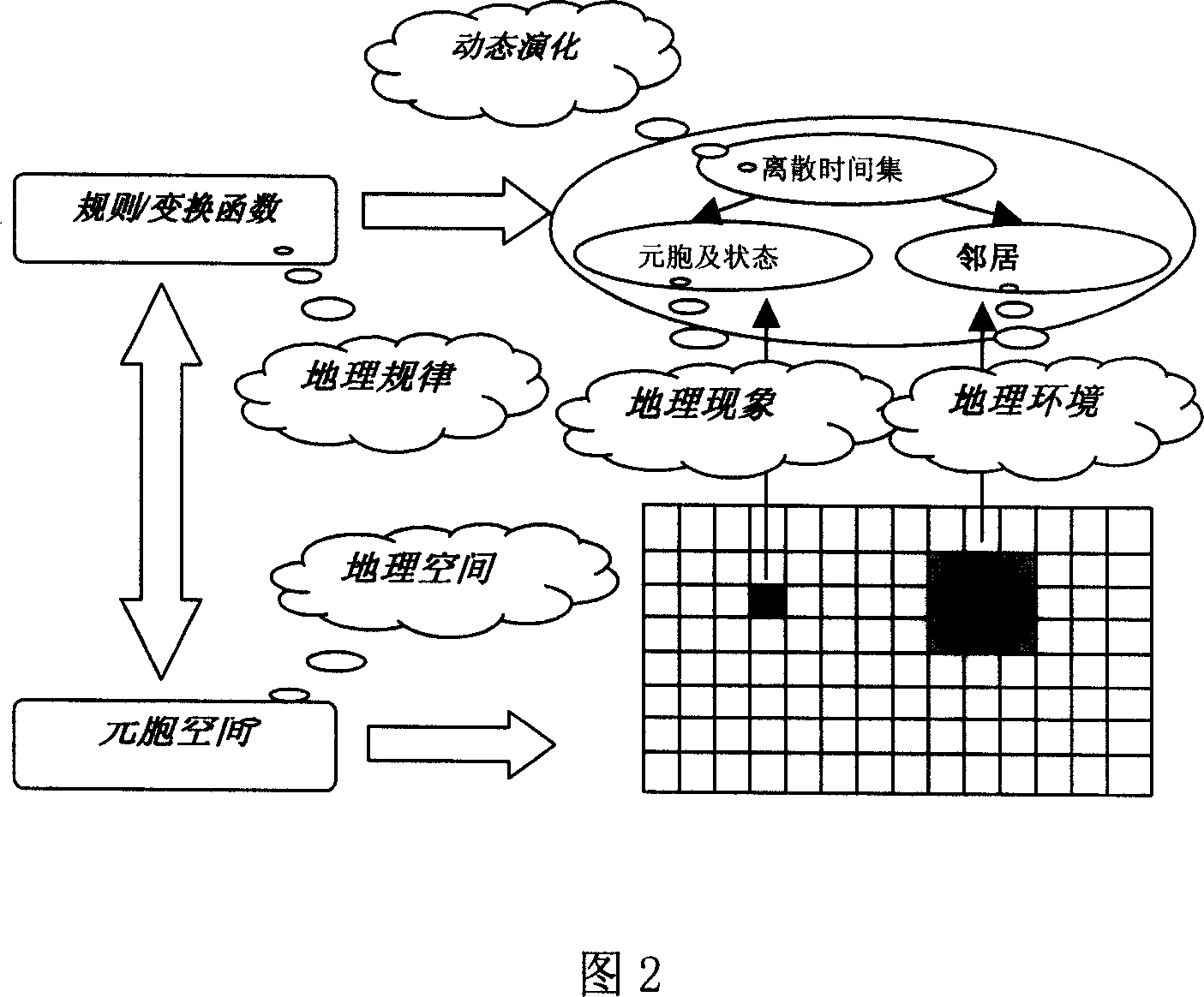
[0036] According to the geographic cellular automaton model structure and the integration method with GIS given in Fig. 1 and Fig. 2, the technical scheme of the present invention will be further described below.
[0037] 1. GeoCA-Landuse model construction steps
[0038] 1. Set the size of the model space
[0039] Setting the size of the model space is to create a space for cell growth, which is the first condition for the model to run. Limited by memory and CPU speed, the model supports calculations below 5000×5000. The cell size of the model selection in the present invention is 200×200m, and the model space is 1023×2127.
[0040] 2. Introduction of model seed points
[0041] In this model, the seed point is the initial state of land use development in the study area, the land use change is based on the seed point, and the seed point is the growth point of the land use change. Therefore, the distribution of seed points should truly reflect the pattern of land change in th...
PUM
 Abstract
Description
Claims
Application Information
 - R&D
- Intellectual Property
- Life Sciences
- Materials
- Tech Scout
- Unparalleled Data Quality
- Higher Quality Content
- 60% Fewer Hallucinations
Browse by: Latest US Patents, China's latest patents, Technical Efficacy Thesaurus, Application Domain, Technology Topic, Popular Technical Reports.
© 2025 PatSnap. All rights reserved.Legal|Privacy policy|Modern Slavery Act Transparency Statement|Sitemap|About US| Contact US: help@patsnap.com


