

Method for acoustic imaging of the earth's subsurface using a fixed position sensor array and beam steering
a technology of a fixed position sensor array and a beam steering device, which is applied in the field of seismic evaluation of formations in the earth's subsurface, can solve the problems of resolution limitations, limited array aperture and sensor spacing, and relatively limited vertical and lateral resolution of seismic surveying known in the ar
- Summary
- Abstract
- Description
- Claims
- Application Information
AI Technical Summary
Problems solved by technology
Method used
Image

Examples
Embodiment Construction
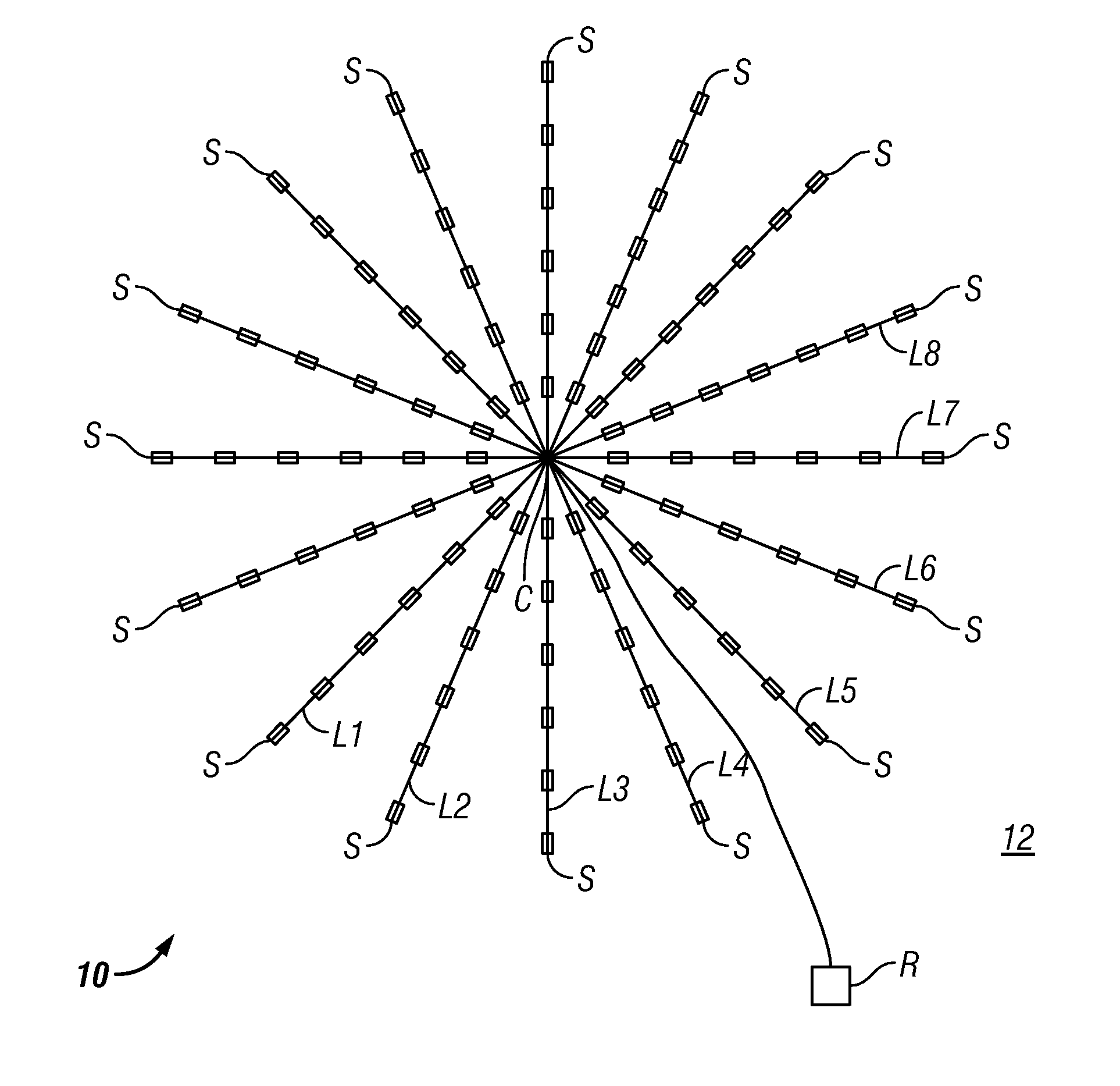
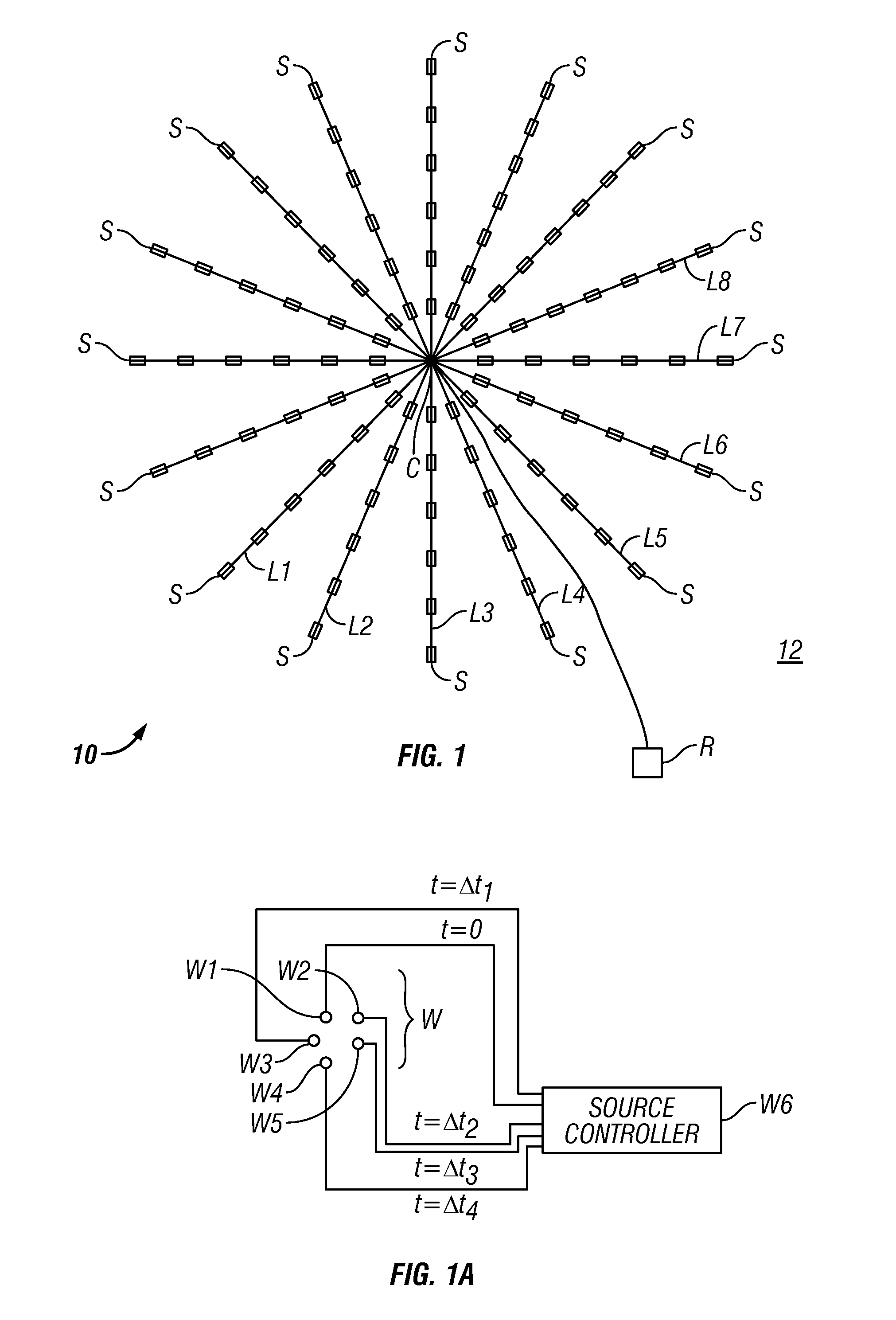
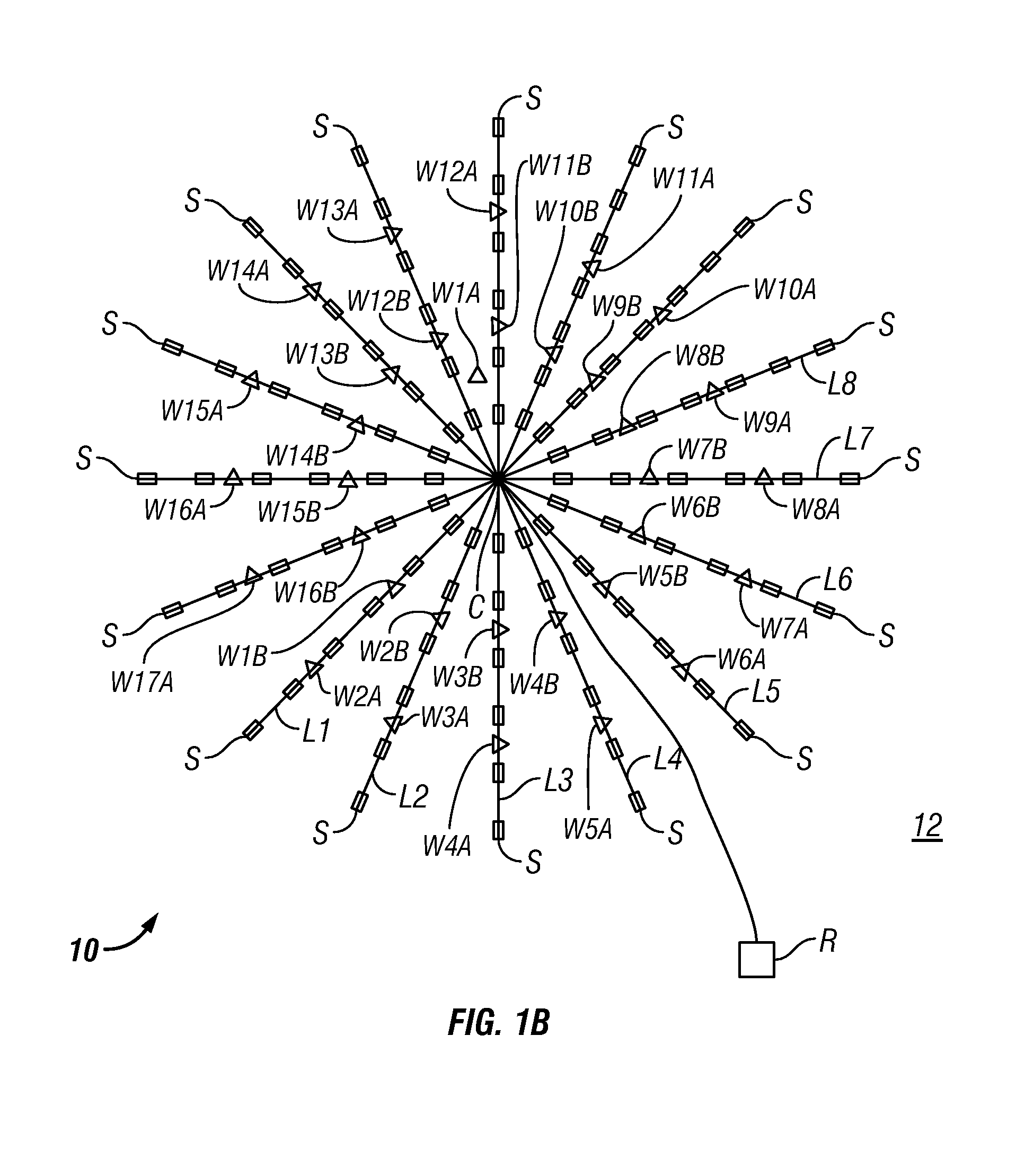
[0019]An objective of methods according to the present invention is to provide a localized examination of subsurface Earth structures with higher resolution (both laterally and vertically) than is typically possible using conventional seismic surveying. In some examples, the localized examination may be repeated at selected times to determine changes in spatial distribution of fluids in subsurface rock formations. Various examples of methods according to the invention may provide such enhanced resolution examinations at depths of 1.0 km to 3.5 km below the Earth's surface, or in examples in marine environments within a similar range of distances below the water bottom. The particular examined volume within the Earth's subsurface to be evaluated may be selected from prior, conventional seismic surveys, for example. In methods according to the invention relatively high frequency (as contrasted with conventional seismic) seismic energy is used, and coherent stacking from multiple actua...
PUM
 Abstract
Description
Claims
Application Information