

Method for re-using photorealistic 3D landmarks for nonphotorealistic 3D maps
- Summary
- Abstract
- Description
- Claims
- Application Information
AI Technical Summary
Benefits of technology
Problems solved by technology
Method used
Image

Examples
Example
[0060]Corresponding reference characters indicate corresponding parts throughout the several views. Although the exemplification set out herein illustrates embodiments of the invention, in several forms, the embodiments disclosed below are not intended to be exhaustive or to be construed as limiting the scope of the invention to the precise forms disclosed.
DESCRIPTION OF THE PRESENT INVENTION
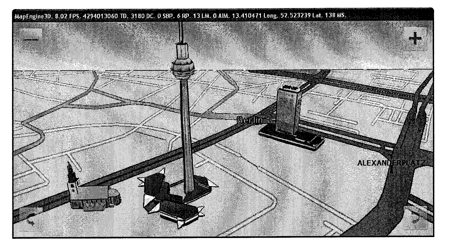
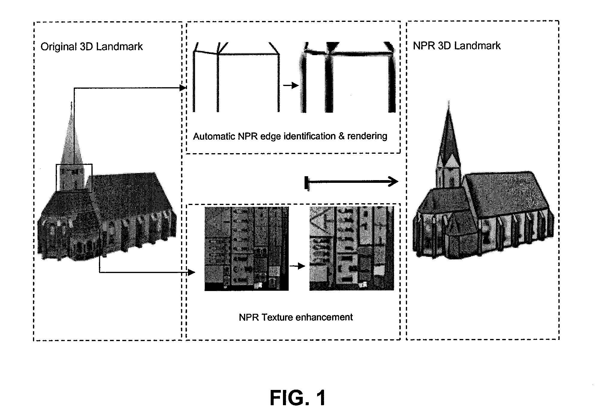
[0061]The invention may provide a method of 3D navigation using NPR 3D maps, including stylized visualization for the 3D objects in a navigation map. The 3D objects displayed on a 3D navigation map may include buildings, landmarks, POIs, hazard spots, and roads. The NPR 3D maps may be created based on 3D object data that may be generated in different ways. The 3D data may be offered by a data provider in a format suitable for only photorealistic rendering (for example, polygon meshes with photorealistic textures). In this case, such data may be enhanced for NPR rendering.
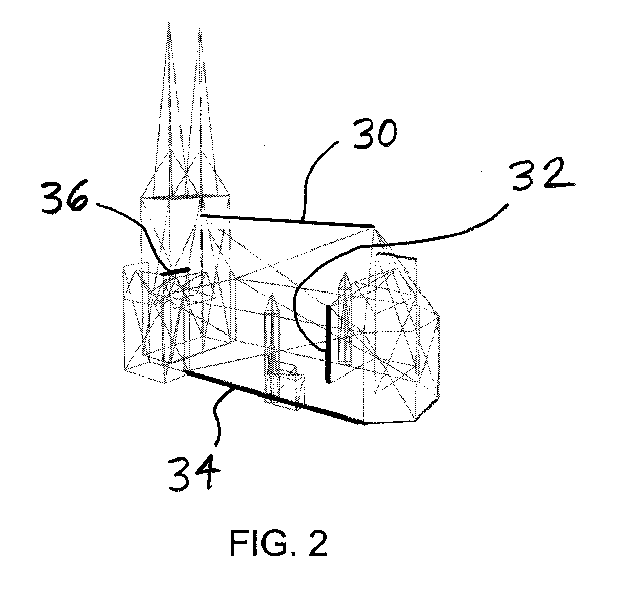
[0062]Referring now to t...
PUM
 Abstract
Description
Claims
Application Information