Augmented reality system for position identification

a position identification and augmented reality technology, applied in the field of augmented reality systems, can solve the problems of limiting the usability of augmented reality applications, requiring direct line-of-sight views to satellites, and expensive custom setups,

Active Publication Date: 2012-05-10
SONY CORP
View PDF4 Cites 300 Cited by
  • Summary
  • Abstract
  • Description
  • Claims
  • Application Information

AI Technical Summary

Benefits of technology

[0036]In a fourth embodiment, the retrieved video may be compared with the currently observed real-world scene to enable navigation. The embodiment may visually verify a real-world path or a real-world destination for a portable electronic device user.
[0037]In a fifth embodiment, the manipulated video may be combined with at least one historical image and a currently observed real-world scene viewed with a portable electronic device. This embodiment thus may place the user in a historically-based reality, to for example assist in educating the user on historical events.

Problems solved by technology

Traditionally augmented reality applications have been limited to expensive custom setups used in universities and academia, but with the advent of modern smartphones and powerful embedded processors, many of the algorithms that were once confined to the personal computer world are becoming a part of the mobile world.
One of the major drawbacks of using GPS based systems is that they require direct line-of-sight views to the satellites and are commonly blocked in urban areas, canyons, etc.
This limits their usability severely.Inertial, geomagnetic, and dead reckoning: Inertial sensors are sourceless and relatively immune to environmental disturbances.
Their main drawback however is that they accumulate drift over a period of time.
The obvious disadvantage of these systems is that modifying the environment in this manner outdoors is usually not practical and restricts the user to the location of the active sources.Passive optical: This method relies on using video or optical sensors to track the sun, stars, or surrounding environment, to determine a frame of reference.
However most augmented reality applications refrain from using these algorithms since they are computationally intensive.
Even though these techniques have been deployed and used extensively in the mobile space, there are still several technical challenges that need to be addressed for a robust, usable augmented reality system.
Existing Mobile 3D solutions are cumbersome and impose limitations on seamless integration with live camera imagery.
User experience therefore degrades quickly when accuracy is lost.
However the use of OpenGL on smartphone platforms introduces other challenges.
One of the biggest disadvantages of using OpenGL is that once perspective-rendered content is displayed onscreen, it is hard to perform hit testing because OpenGL ES1.1 does not provide APIs for “picking mode” or “selection” used to determine the geometry at particular screen coordinates.
When controls are rendered in a perspective view, it is hard to determine whether touch events lie within the control bounds.
Therefore, even though OpenGL supports perspective 3D rendering under the processing constraints typical of modern mobile smartphones, it is not optimal.
Real-Time Marker / Markerless Systems are Too Complex
Real-time detection and registration of a frame reference is computationally expensive, especially for markerless techniques.
Mapping a virtual environment onto the real-world coordinate space requires complex algorithms.
This approach, however, is less suitable for augmented reality applications in outdoor environments since setting up the environment with markers prior to the application's use is unlikely.
Attempts to perform real time natural feature detection and tracking on modern mobile devices have been largely intractable since they use large amounts of cached data and significant processing power.
Sensor Data for Location Based Systems is Inaccurate
For location based augmented reality systems, especially GPS based systems, sensor noise makes orientation estimation difficult.
However these sensors present unique problems, as they do not provide highly accurate readings and are sensitive to noise.
The reduction of noise thus represents a significant challenge confronting augmented reality software.

Method used


Image

  • Augmented reality system for position identification
  • Augmented reality system for position identification
  • Augmented reality system for position identification

Examples


second embodiment

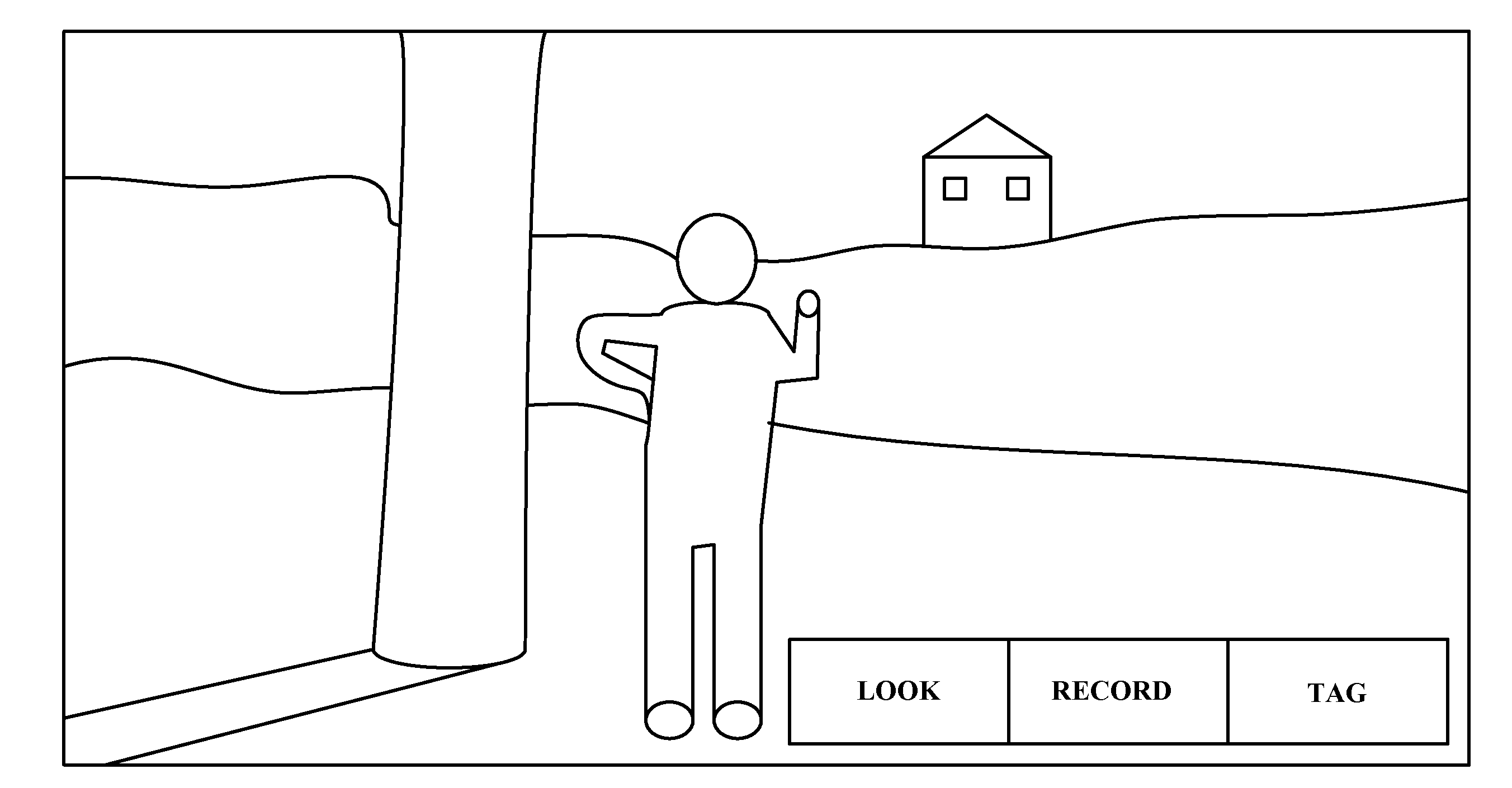
[0034]In a second embodiment, the metadata may include annotations by a server or a user acquiring the video. The annotations may include details of a person, an object, or a location being photographed. The annotations may help users share their experiences and / or recommended locations. The acquiring and retrieving of imagery may be performed by different persons, including friends or clients for example.

third embodiment

[0035]In a third embodiment, the video and metadata may be communicated on at least one network. The retrieving may include pushing the data stream to a network, or pulling the data from a network in response to a request. The network may include a private network or the internet.

fourth embodiment

[0036]In a fourth embodiment, the retrieved video may be compared with the currently observed real-world scene to enable navigation. The embodiment may visually verify a real-world path or a real-world destination for a portable electronic device user.


PUM


Abstract

A system, method, and computer program product for automatically combining computer-generated imagery with real-world imagery in a portable electronic device by retrieving, manipulating, and sharing relevant stored videos, preferably in real time. A video is captured with a hand-held device and stored. Metadata including the camera's physical location and orientation is appended to a data stream, along with user input. The server analyzes the data stream and further annotates the metadata, producing a searchable library of videos and metadata. Later, when a camera user generates a new data stream, the linked server analyzes it, identifies relevant material from the library, retrieves the material and tagged information, adjusts it for proper orientation, then renders and superimposes it onto the current camera view so the user views an augmented reality.

Description

CROSS-REFERENCE TO RELATED APPLICATIONS[0001]This application claims the benefit under 35 U.S.C. 119 of provisional application 61 / 411,053 filed on Nov. 8, 2010 entitled “An Augmented Reality Interface for Video Tagging and Sharing” which is hereby incorporated by reference in its entirety, and is related to seven other simultaneously-filed applications, including Attorney Docket No. S1162.1102US1 entitled “Augmented Reality Interface for Video”, Attorney Docket No. S1162.1102US2 entitled “Augmented Reality Interface for Video Tagging and Sharing”, Attorney Docket No. S1162.1102US3 entitled “Augmented Reality System for Communicating Tagged Video and Data on a Network”, Attorney Docket No. S1162.1102US5 entitled “Augmented Reality System for Supplementing and Blending Data”, Attorney Docket No. S1162.1102US6 entitled “Augmented Reality Virtual Guide System”, Attorney Docket No. S1162.1102US7 entitled “Augmented Reality System for Product Identification and Promotion”, Attorney Docke...

Claims


Application Information

Patent Timeline
Patent Type & Authority Applications(United States)
IPC IPC(8): G09G5/00
CPCG06Q30/0623G09G5/00G09G2354/00G09G2340/125G09G2340/14G09G2340/12G06T19/006
Inventor ADHIKARI, SURANJITDUNN, TEDHSIAO, ERIC
Owner SONY CORP
Why Eureka
Try Eureka