Road height generation for a road network
a road network and road height technology, applied in traffic control systems, navigation instruments, instruments, etc., can solve the problems of inability to drive, user's sensory cues about the terrain they/they cannot, image disorientation, etc., and achieve the effect of optimizing the cost function
- Summary
- Abstract
- Description
- Claims
- Application Information
AI Technical Summary
Benefits of technology
Problems solved by technology
Method used
Image
Examples
Embodiment Construction
[0025]Embodiments of the present invention relate to determining road height values based on input data indicating a stacking order of roads at junctions (e.g. intersections and overpasses) of a road network. Plausible road height values can be determined at junctions and at locations away from junctions.
[0026]To determine the road height values, a cost function can be used as part of an optimization procedure. The determined height values are determined based on various constraints may be applied to the optimization. For example, a constraint of a minimum height difference between roads of grade separated crossings, e.g., 18 ft., can be specified for overpasses. As another example, the optimization can minimize a height change between neighboring junctions. The height values can be used to present a three-dimensional visualization of relative road heights with a navigation system.
I. 3D Images for Road Navigation
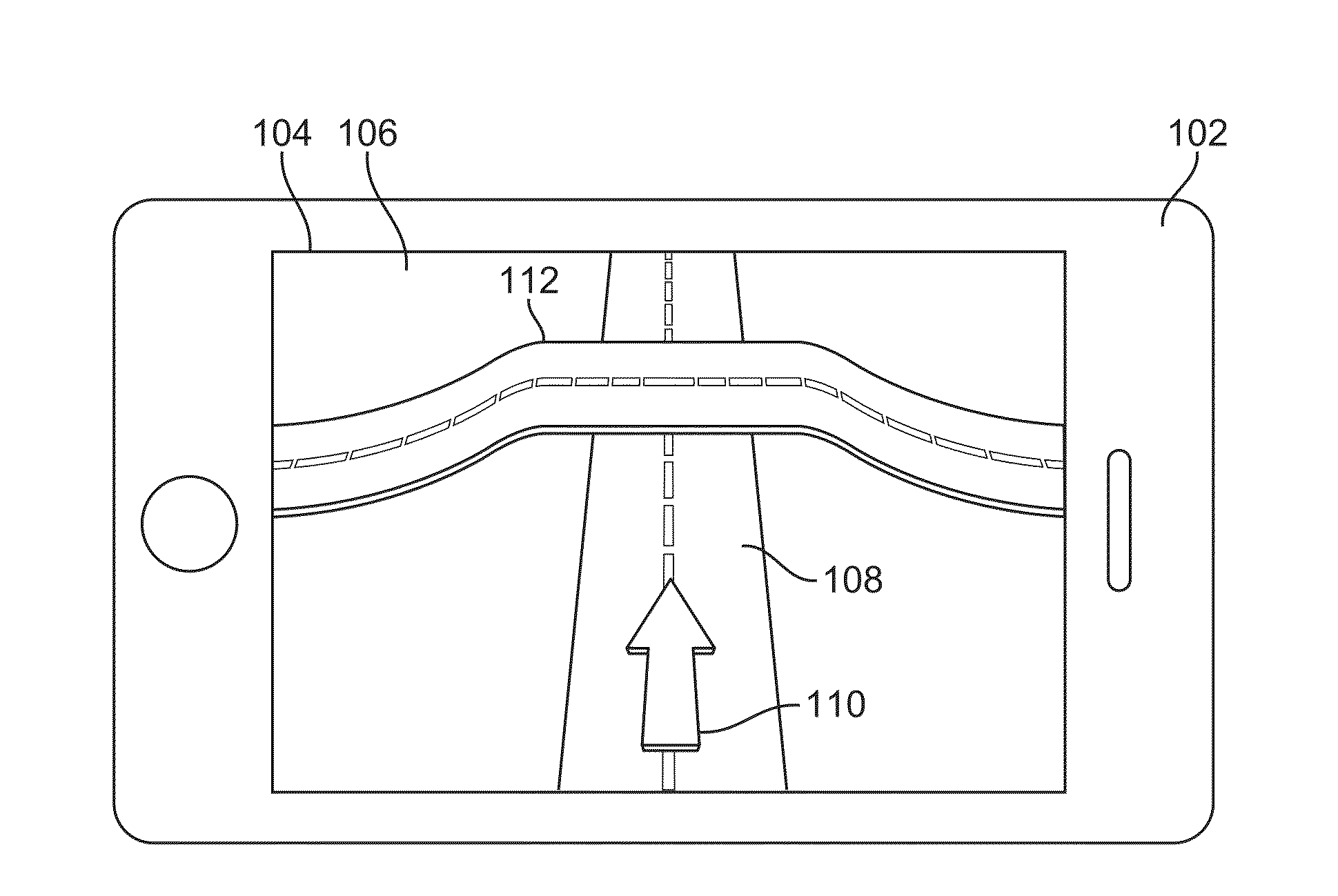
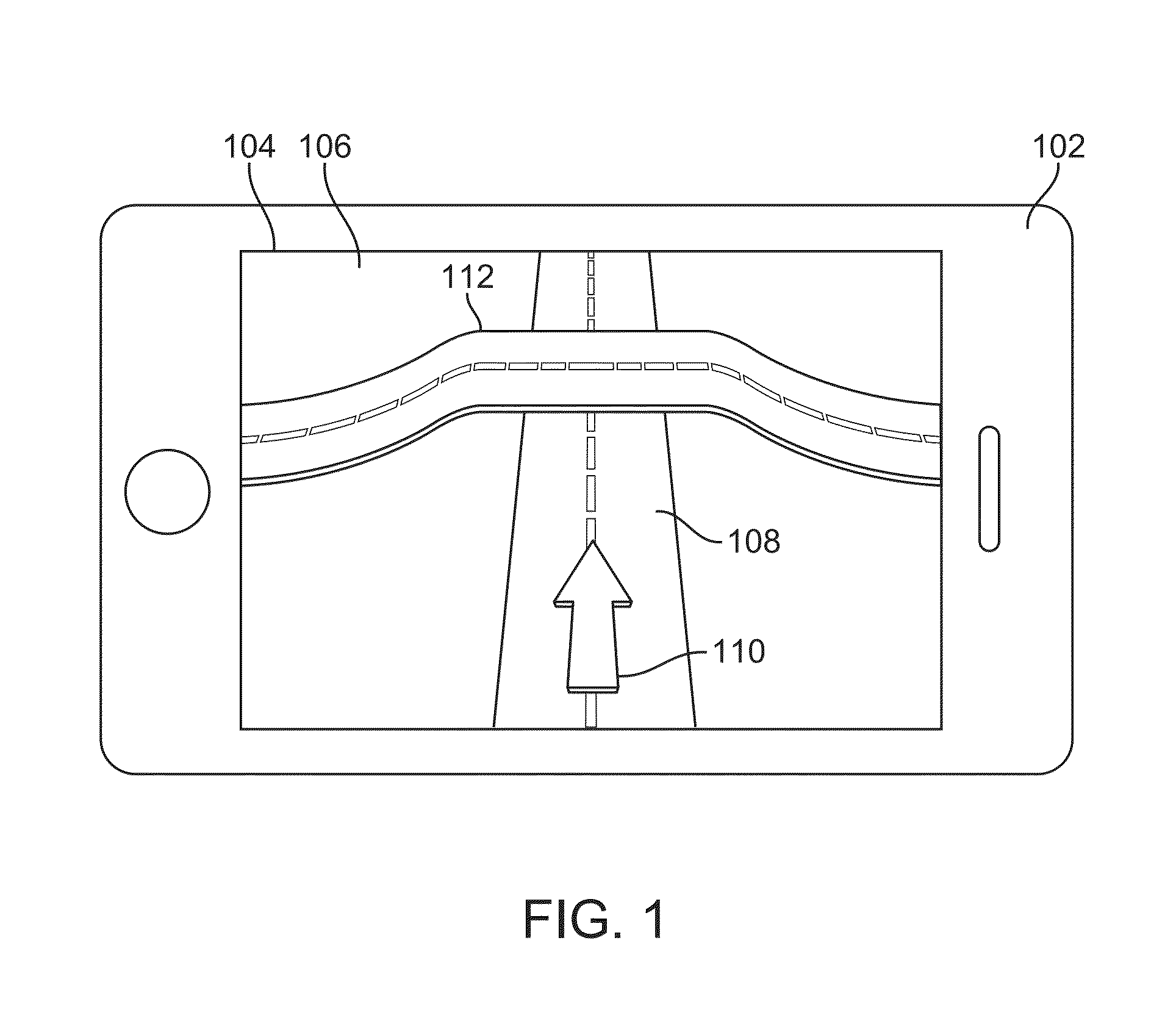
[0027]FIG. 1 shows information generated by a navigation system display...
PUM
 Abstract
Description
Claims
Application Information
 - R&D
- Intellectual Property
- Life Sciences
- Materials
- Tech Scout
- Unparalleled Data Quality
- Higher Quality Content
- 60% Fewer Hallucinations
Browse by: Latest US Patents, China's latest patents, Technical Efficacy Thesaurus, Application Domain, Technology Topic, Popular Technical Reports.
© 2025 PatSnap. All rights reserved.Legal|Privacy policy|Modern Slavery Act Transparency Statement|Sitemap|About US| Contact US: help@patsnap.com


