Method for aerial imagery acquisition and analysis

a technology of aerial imagery and acquisition method, applied in the field of aerial imagery acquisition and analysis, can solve the problems of not being able to perform the necessary analysis, not being able to detect pests early, and not being able to achieve the necessary analysis, so as to investigate irregularities in the initial imag

Active Publication Date: 2019-03-07
AGROWING LTD
View PDF3 Cites 105 Cited by
  • Summary
  • Abstract
  • Description
  • Claims
  • Application Information

AI Technical Summary

Benefits of technology

[0011]There is provided according to the present invention a method for automatic analysis and a decision support system permitting acquisition and analysis of multi-spectral image data, preferably in real or near real time. In particular, the method includes an initial image acquisition and blob partitioning on a large scale, amounting to hundreds up to thousands of pixels per blob, for an initial analysis, in order to determine whether to proceed with a second image acquisition and blob partitioning on a small scale, grouping tens of pixels per blob, according to selected criteria in order to investigate irregularities in the initial images.
[0012]There is provided, according to the invention, a method for multi-spectral imagery acquisition and analysis, the method including capturing preliminary multi-spectral aerial images according to pre-defined survey parameters at a pre-selected resolution, automatically performing preliminary analysis on site or location in the field using large scale blob partitioning of the captured images in real or near real time, detecting irregularities within the pre-defined survey parameters and providing an output corresponding thereto, and determining, from the preliminary analysis output, whether to perform a second stage of image acquisition and analysis at a higher resolution than the pre-selected resolution.
[0013]According to embodiments of the invention, the method further includes associating GPS data with the detected irregularities, directing an image acquisition device, in real time or near real time, to capture additional images of at least one of the detected irregularities at higher resolution than the pre-selected resoluti...

Problems solved by technology

However, the analysis of NDVI and all other tools is usually done off-line (following the drone/airplane/satellite's acquisition) and the resulting image or set of images (orthophotos), which present different areas of the image in various colors, are presented to the farmer/user after a significant delay.
In addition, for an average person/farmer, the output images of these tools are not of much value, as he is usually not an expert, and is unab...

Method used


Image

  • Method for aerial imagery acquisition and analysis
  • Method for aerial imagery acquisition and analysis
  • Method for aerial imagery acquisition and analysis

Examples


Embodiment Construction

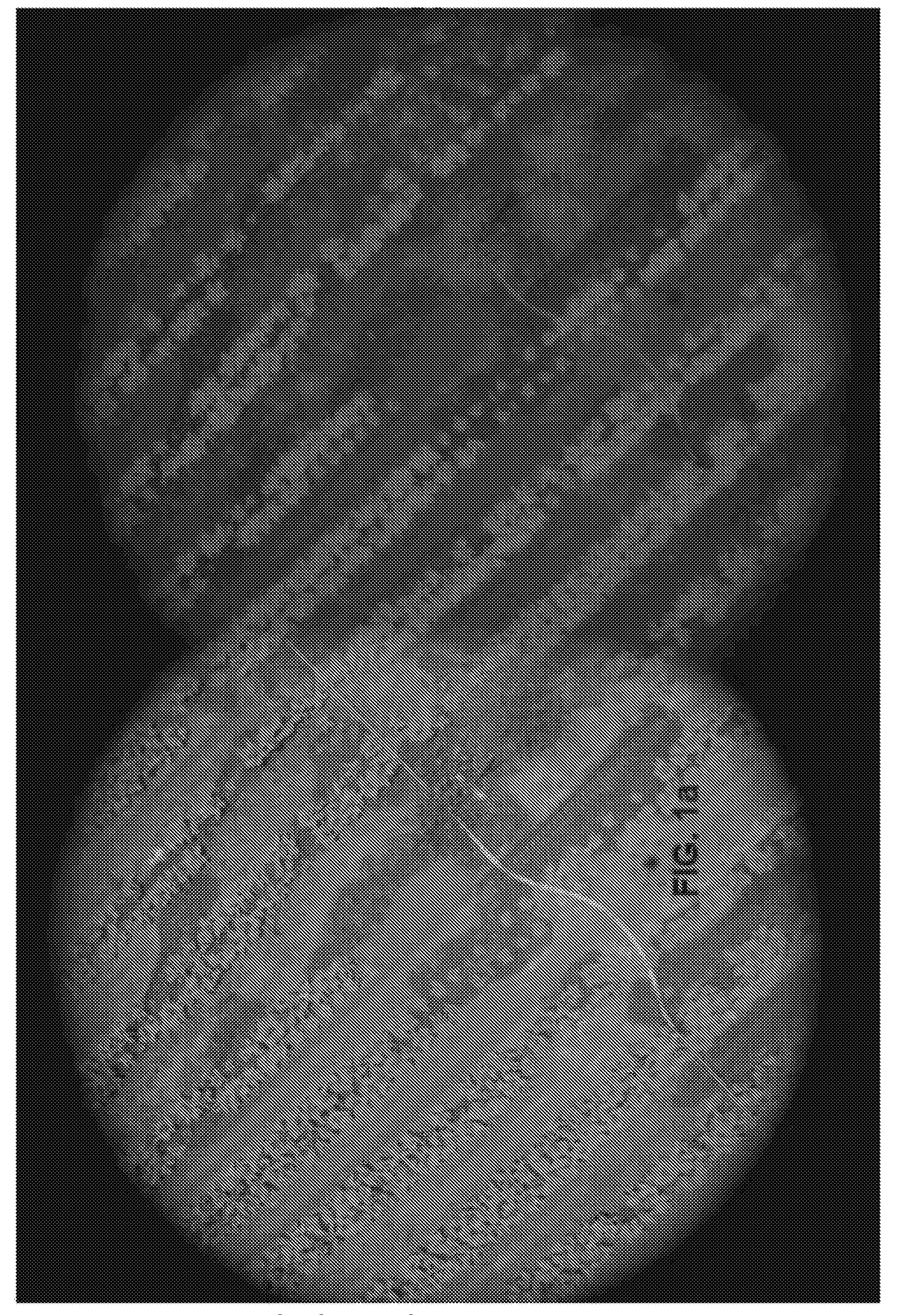
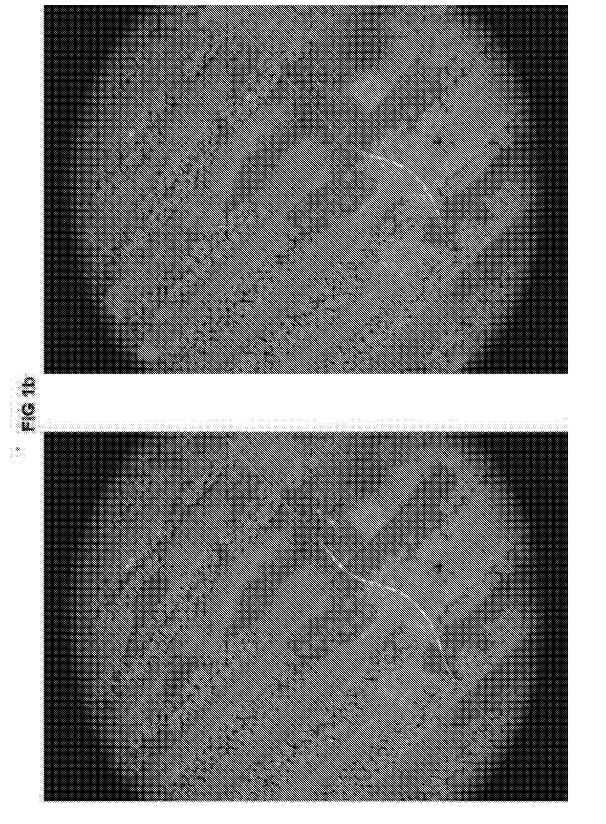
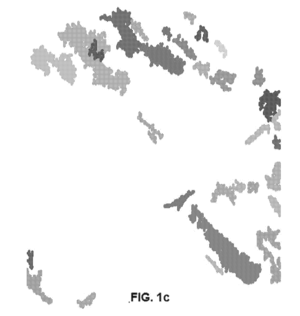
[0033]The present invention provides an inventive method for image acquisition and analysis and a decision support system, which will provide better remote sensing, and provide the end user (organizations / farmers) with enhanced imagery acquisition, analysis results and advice. In particular, the method permits a one- or two-stage acquisition and analysis of multi-spectral imagery, wherein at least the first stage analysis, at low resolution over a large area, is performed in real or near real time. From results of this analysis, a determination is made whether or not to proceed with a second stage of multi-spectral image acquisition and analysis, at high resolution on a smaller area. Analysis can be performed on location, i.e., at the time of acquisition of each image or frame with later addition of geographical indications, or analysis can be performed on a geotagged orthophoto of a larger area. For purposes of the present invention, analysis in near real time, for each acquired im...


PUM


Abstract

A method and system for multi-spectral imagery acquisition and analysis, the method including capturing preliminary multi-spectral aerial images according to pre-defined survey parameters at a pre-selected resolution, automatically performing preliminary analysis on site or location in the field using large scale blob partitioning of the captured images in real or near real time, detecting irregularities within the pre-defined survey parameters and providing an output corresponding thereto, and determining, from the preliminary analysis output, whether to perform a second stage of image acquisition and analysis at a higher resolution than the pre-selected resolution. The invention also includes a method for analysis and object identification including analyzing high resolution multi-spectral images according to pre-defined object parameters, when parameters within the pre-defined object parameters are found, performing blob partitioning on the images containing such parameters to identify blobs, and comparing objects confined to those blobs to pre-defined reference parameters to identify objects having the pre-defined object parameters.

Description

RELATED APPLICATIONS[0001]This application claims the benefit of U.S. Provisional Patent Application No. 62 / 252,513 filed on Nov. 8, 2015.FIELD OF THE INVENTION[0002]The present invention relates to image acquisition and analysis, in general and, in particular, to aerial imagery acquisition and analysis.BACKGROUND OF THE INVENTION[0003]Aerial remote sensing has been developing rapidly over the last decades. Remote sensing is being used for various purposes, among which are agricultural and other environmental monitoring purposes. With the rapid development of light aerial vehicles, such as drones, hovercraft and many other types of UAVs, in addition to the affordable cost of ultra-light and light manned aerial vehicles, remote sensing, including image acquisition, is developing and accessible even to small scale organizations and farmers.[0004]Aerial vehicles can be controlled and managed remotely. When flying over a city or a field, images can be captured for remote sensing purpose...

Claims


Application Information

Patent Timeline
IPC IPC(8): G06K9/00G06K9/46H04W4/18G06V10/56G06V20/00
CPCG06K9/00657G06K9/4652H04W4/185G06K2009/00644G06T7/0012G06T2207/10036G06T2207/30188G01J2003/2826G06V20/194G06V20/188G06V20/00G06V10/56G06F18/00
Inventor DVIR, IRARABINOWITZ BATZ, NITZAN
Owner AGROWING LTD
Why Eureka
Try Eureka