
Position estimation for ground vehicle navigation based on landmark identification/yaw rate and perception of landmarks

a technology for positioning estimation and ground vehicle navigation, which is applied in the direction of distance measurement, navigation instruments, instruments, etc., can solve the problems of periodic signal loss and low accuracy

Active Publication Date: 2012-10-30
SOUTHWEST RES INST
View PDF7 Cites 45 Cited by
  • Summary
  • Abstract
  • Description
  • Claims
  • Application Information

AI Technical Summary

Benefits of technology

This approach enables reliable and accurate vehicle positioning and lane deviation detection, reducing navigation errors and preventing hazards like trailer instability in trucks, even in areas with no live GPS signal, thereby ensuring safe and efficient navigation.

Problems solved by technology

They are used for helping the driver navigate to a destination and do not have very high accuracy.
Satellite reception in various urban settings can be sporadic and can result in loss of signal periodically.

Method used


Image

  • Position estimation for ground vehicle navigation based on landmark identification/yaw rate and perception of landmarks
  • Position estimation for ground vehicle navigation based on landmark identification/yaw rate and perception of landmarks
  • Position estimation for ground vehicle navigation based on landmark identification/yaw rate and perception of landmarks

Examples


Embodiment Construction

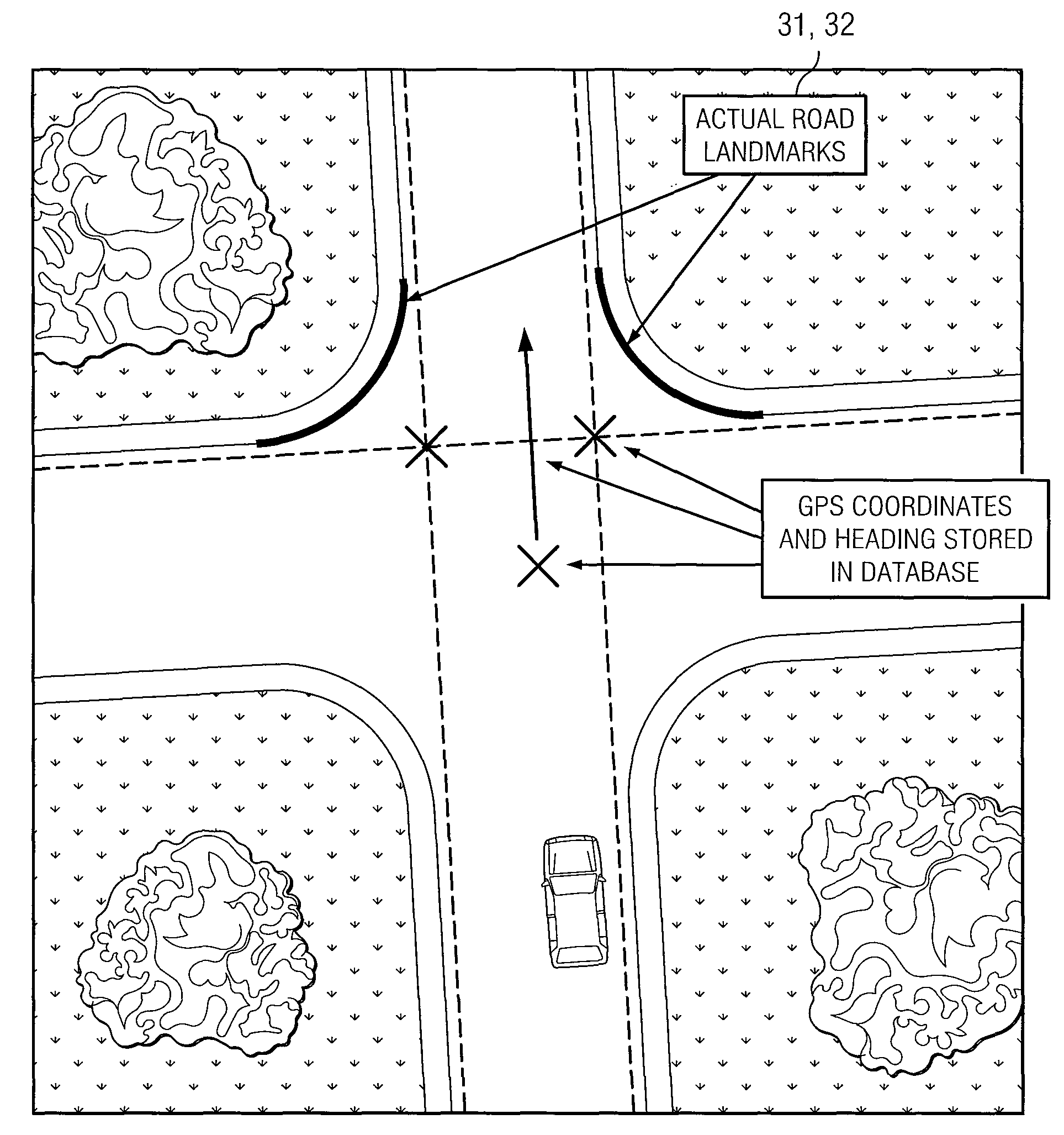
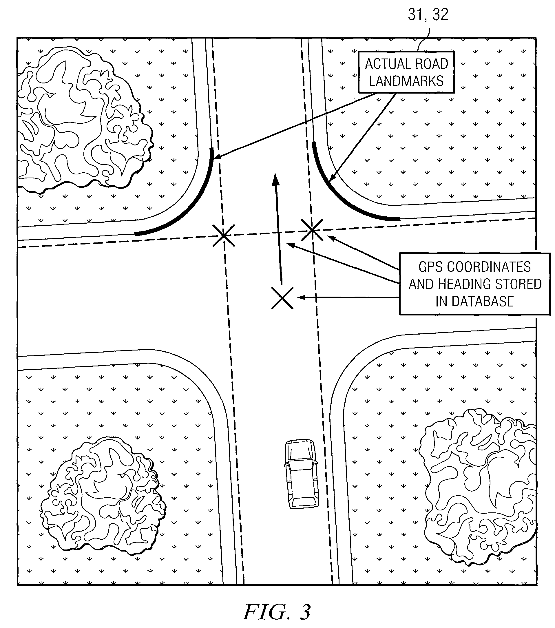
[0018]The following invention describes at least two aspects of navigation in ground vehicles. One aspect is estimation of vehicle position during GPS outages based on urban landmarks. A second aspect is perception of such landmarks for supporting position estimation and for sensing lane deviations.

[0019]The methods described herein can be applied to autonomous ground vehicles, where GPS feedback is critical to staying on desired path and vehicle position estimation becomes essential during GPS outages. The methods can also be used for conventional vehicle location estimation for use in GPS-based driver navigation. The perception aspect of the invention can also be used for detecting deviation from lane in passenger cars and especially in trailer trucks. For example, in cab-trailer trucks, the weaving of the trailer can be dangerous and warning the driver at the inception of such oscillation can prevent a roll over.

[0020]The term “autonomous” is used broadly herein to refer to any v...


PUM


Abstract

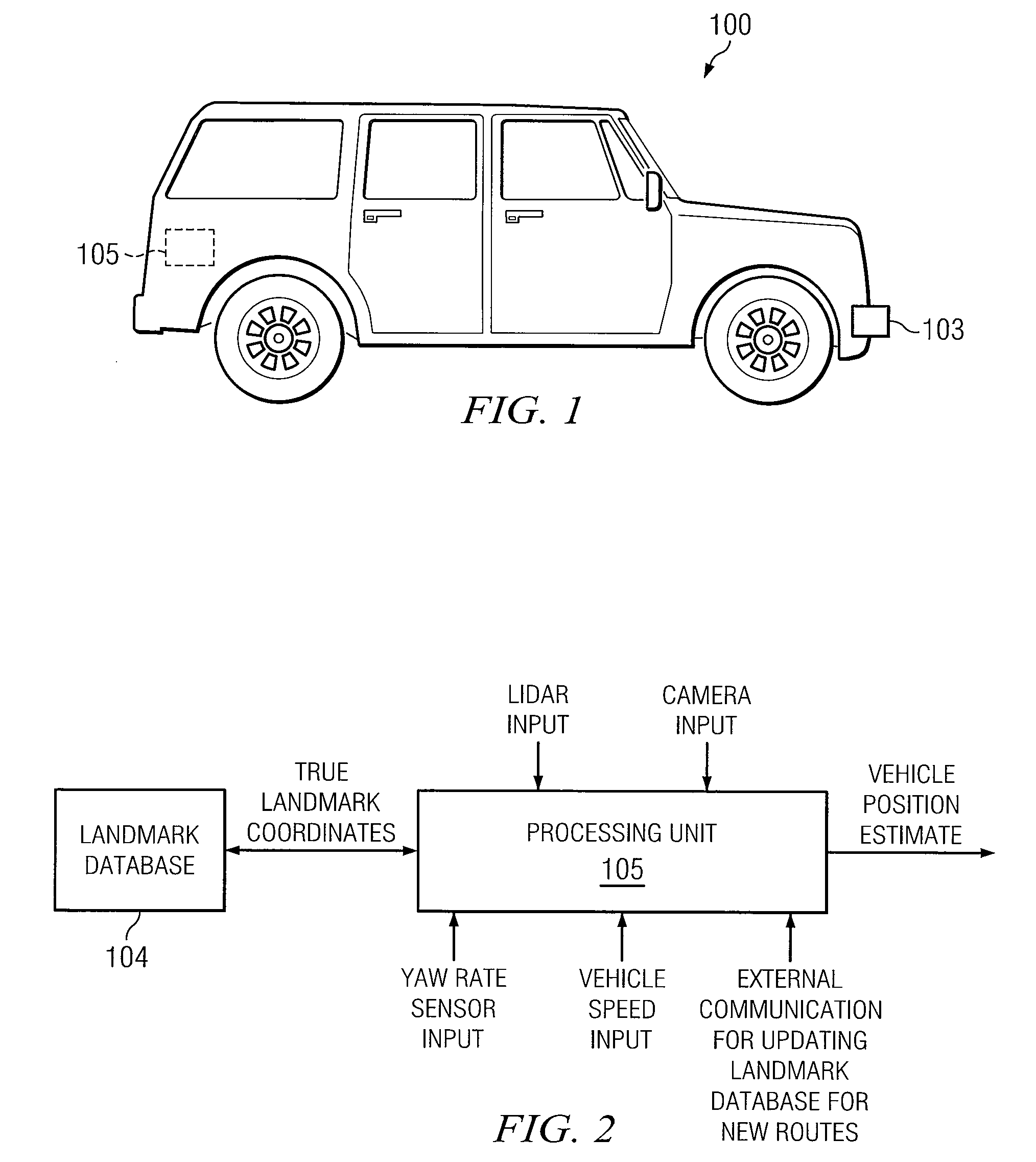
A landmark-based method of estimating the position of an AGV (autonomous ground vehicle) or conventional vehicle, which has an onboard database of landmarks and their locations coordinates. During travel, the AGV looks for and identifies landmarks. It navigates according to position estimations that are based on measured yaw rate and speed. When a landmark s encountered and recognized, its true location coordinates are looked up from the database. These true coordinates are then used to enhance position estimation accuracy between landmarks.

Description

TECHNICAL FIELD OF THE INVENTION[0001]This invention deals with automated navigation in ground vehicles as well as non-autonomous vehicles.BACKGROUND OF THE INVENTION[0002]GPS (global positioning systems) have become ubiquitous in today's passenger vehicles. They are used for helping the driver navigate to a destination and do not have very high accuracy. Satellite reception in various urban settings can be sporadic and can result in loss of signal periodically. High accurate GPS is a very critical feedback in autonomous ground vehicles.[0003]Unmanned urban ground vehicles (UGV's) are robotic platforms that are either remotely operated or autonomous. They are generally capable of operating outdoors and over a wide variety of terrain.[0004]An autonomous UGV is essentially an autonomous robot with mechanisms that allow it to navigate on the surface of the ground. Among other tasks, a fully autonomous robot in the real world has the ability to travel without human navigation assistance...

Claims


Application Information

Patent Timeline
Patent Type & Authority Patents(United States)
IPC IPC(8): G01C21/00G08G1/123G01C21/34
CPCG01C21/005G01C21/12G01C21/30
Inventor SURAMPUDI, BAPIRAJUSTEIBER, JOE
Owner SOUTHWEST RES INST
Learn More