Three dimensional routing
a three-dimensional routing and navigation technology, applied in the field of maps and/or navigation, can solve the problems of still existing challenges in providing navigation information
- Summary
- Abstract
- Description
- Claims
- Application Information
AI Technical Summary
Benefits of technology
Problems solved by technology
Method used
Image
Examples
Embodiment Construction
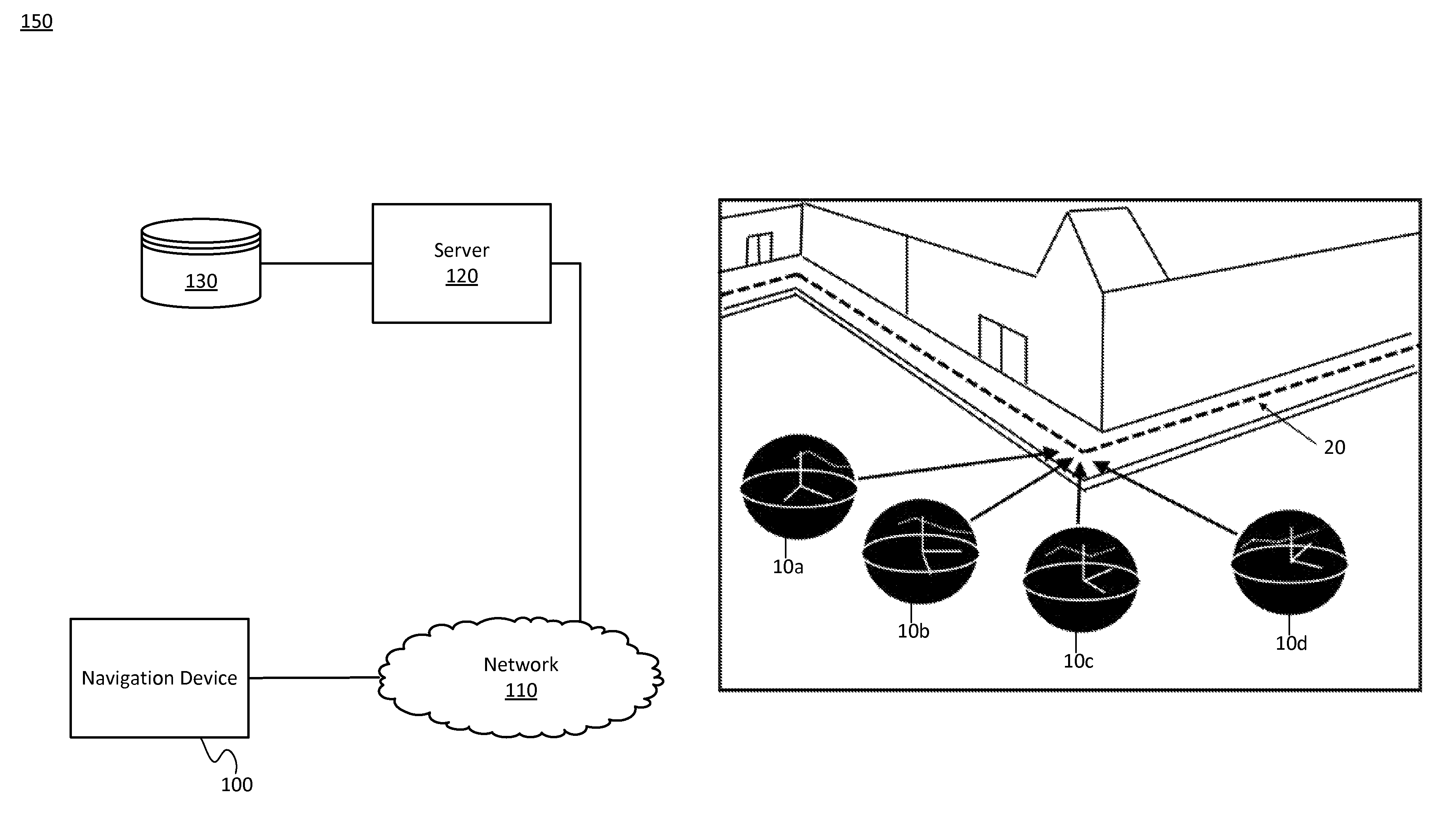
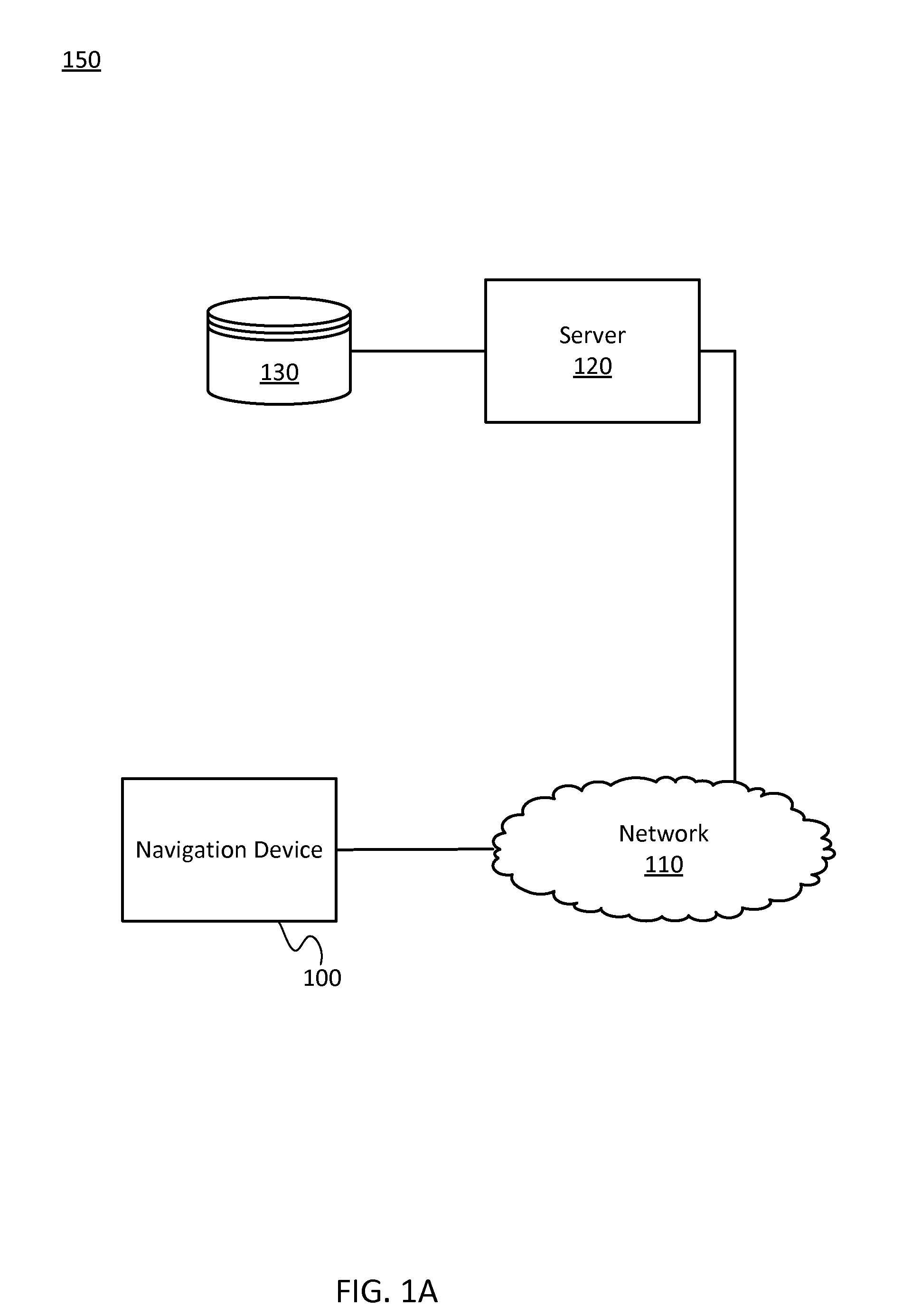
[0019]Map systems or navigation systems provide users with panoramic images, street level view images, or high-altitude images (e.g., satellite, airplane) for navigation related features or map related features for pedestrians. Navigation related features include determining an optimum route and providing directions (e.g., cues or turns) to travel along a path from an original location to a destination location. The path may be a road network, a pedestrian pathway network, or an indoor walkway network. Navigation related features may be provided by mobile devices or stationary devices.
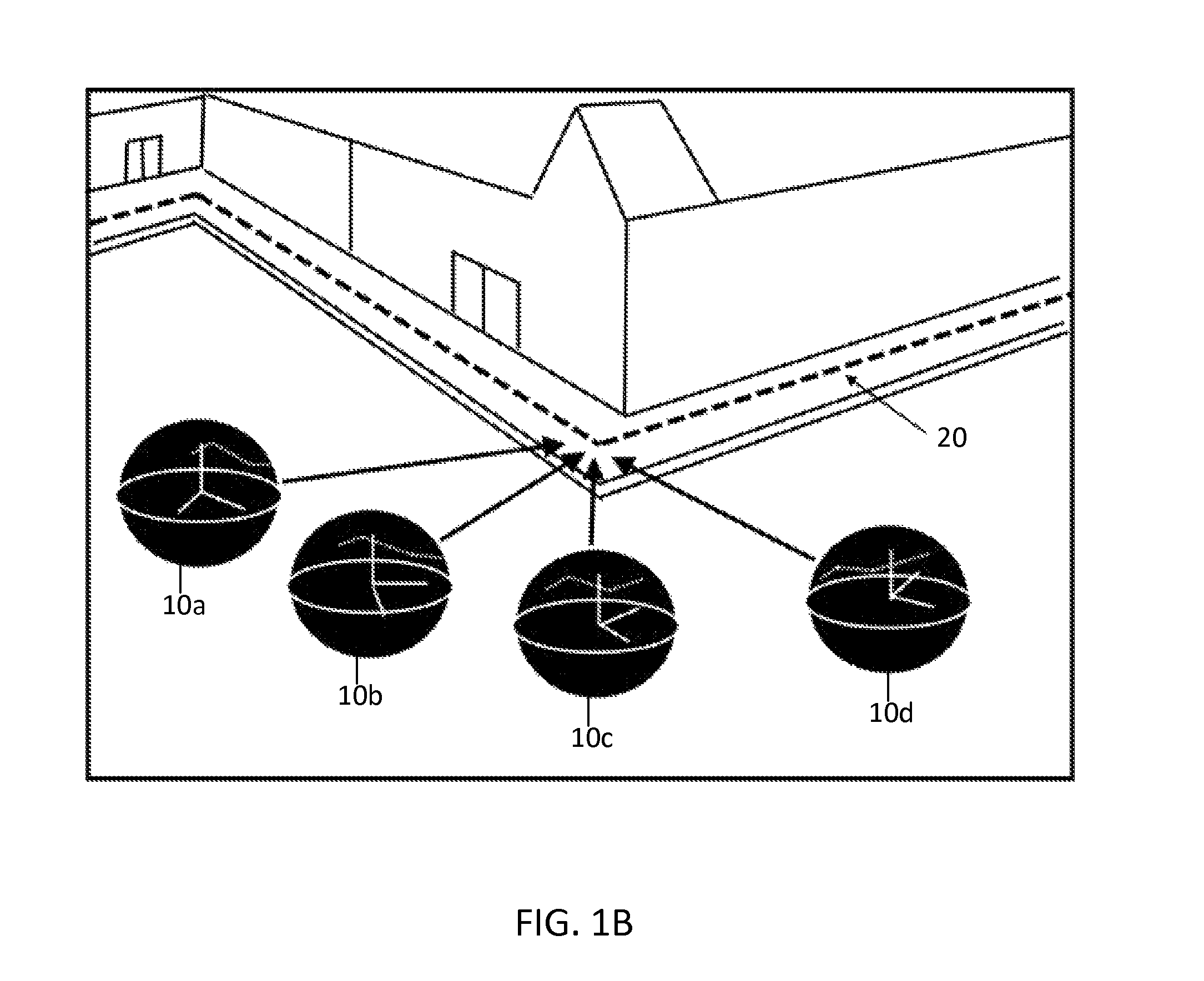
[0020]Navigation related features may involve a computer generated route illustration in images. The route illustration, which may also be referred to as a navigation illustration, is a visual cue to the user regarding the path from the original location to the destination location that is drawn in the images. The images are photographs, collected images, or any images not entirely generated by machine...
PUM
 Abstract
Description
Claims
Application Information
 - R&D
- Intellectual Property
- Life Sciences
- Materials
- Tech Scout
- Unparalleled Data Quality
- Higher Quality Content
- 60% Fewer Hallucinations
Browse by: Latest US Patents, China's latest patents, Technical Efficacy Thesaurus, Application Domain, Technology Topic, Popular Technical Reports.
© 2025 PatSnap. All rights reserved.Legal|Privacy policy|Modern Slavery Act Transparency Statement|Sitemap|About US| Contact US: help@patsnap.com


