Method for detecting change of water body and settlement place based on aviation video
An aerial image and change detection technology, which is applied in the fields of image processing, aerial image processing and target extraction, and can solve problems such as inability to adapt to production needs.
- Summary
- Abstract
- Description
- Claims
- Application Information
AI Technical Summary
Problems solved by technology
Method used
Image
Examples
Embodiment Construction
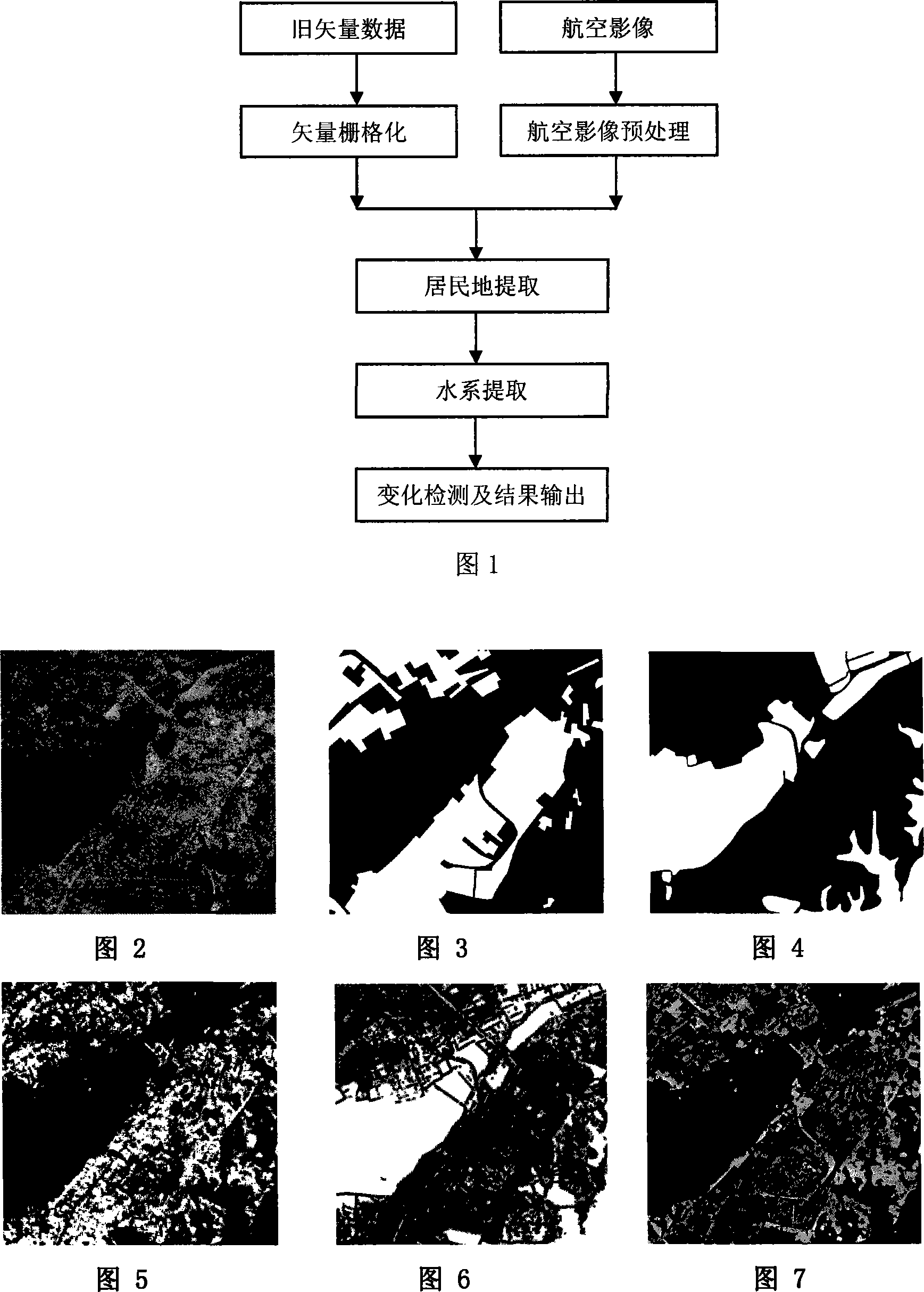
[0060] This embodiment mainly extracts residential areas by processing rasterized old vector data and preprocessed aerial images, thereby extracting water systems, and finally the results of residential area extraction and water body extraction are superimposed on the corresponding old vector data to obtain the change area and change types to implement change detection. The process is shown in Figure 1.
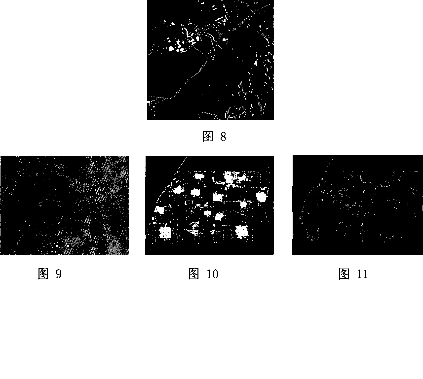
[0061] In this embodiment, the aerial image (1133×1079) of Wuhan area is selected as shown in Figure 2 and the aerial image of Beijing area (2049×1565) is shown in Figure 9, and two groups of experiments are carried out for different situations. The specific implementation steps are as follows:
[0062] (1) Input the aerial images of Wuhan area and Beijing area respectively, and preprocess the aerial images:
[0063] (a) orthorectification of aerial images;
[0064] (b) Stitching of orthophotos;
[0065] (c) According to the range of the old vector data in the same area, t...
PUM
 Abstract
Description
Claims
Application Information
 - R&D
- Intellectual Property
- Life Sciences
- Materials
- Tech Scout
- Unparalleled Data Quality
- Higher Quality Content
- 60% Fewer Hallucinations
Browse by: Latest US Patents, China's latest patents, Technical Efficacy Thesaurus, Application Domain, Technology Topic, Popular Technical Reports.
© 2025 PatSnap. All rights reserved.Legal|Privacy policy|Modern Slavery Act Transparency Statement|Sitemap|About US| Contact US: help@patsnap.com


