Mapping system for coal field seismic exploration

A technology of seismic exploration and mapping system, applied in the field of exploration and mapping system, can solve the problems of low mapping efficiency, poor exploration and mapping accuracy, large workload of personnel, etc., and achieve the effects of reducing production cost, shortening mapping construction period, and strengthening technological innovation.

Inactive Publication Date: 2013-09-18
GEOPHYSICAL SURVEY TEAM ANHUI PROVINCIAL BUREAU OF COAL GEOLOGY
View PDF2 Cites 6 Cited by
  • Summary
  • Abstract
  • Description
  • Claims
  • Application Information

AI Technical Summary

Problems solved by technology

The existing operation method has many problems such as low efficiency of mapp

Method used


Image

  • Mapping system for coal field seismic exploration
  • Mapping system for coal field seismic exploration
  • Mapping system for coal field seismic exploration

Examples


Embodiment Construction

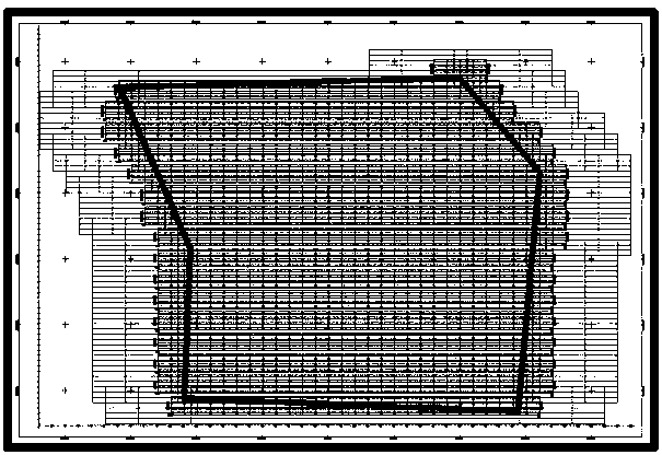
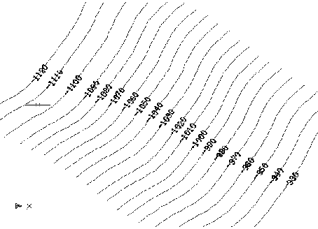
[0017] The coalfield seismic exploration mapping system includes a data processing unit, a logging curve sampling module, a graphic preprocessing unit, a seismic report mapping unit, and a database server, a system interface module, and a display output module connected to the aforementioned four parts. The data processing unit includes a main processing module and a 2D seismic observation system data processing module connected to the main processing module, a 3D seismic observation system data processing module, a 3D seismic design drawing preprocessing module, a human-computer interaction module; graphics preprocessing The unit includes a mapping preprocessing module and a two-dimensional mapping module and a three-dimensional mapping module connected to it; the seismic report mapping unit includes a two-dimensional seismic report mapping module and a three-dimensional seismic report mapping module.

[0018] Further, the specific working steps of the coalfield seismic explorati...


PUM


Abstract

The invention discloses a mapping system for coal field seismic exploration. The system comprises a data processing unit, a well log curve sampling module, a graphic preprocessing unit and a seismic report mapping unit which are sequentially connected, as well as a database server, a system interface module and a display output module which are connected with the four parts, wherein the data processing unit comprises a main processing module as well as a two-dimensional seismic observing system data processing module, a three-dimensional seismic observing system data processing module, a three-dimensional seismic design drawing preprocessing mapping module and a man-machine interaction module which are connected with the main processing module; the graphic preprocessing unit comprises a mapping preprocessing module as well as a two-dimensional traced drawing module and a three-dimensional traced drawing module which are connected with the mapping preprocessing module; and the seismic report mapping unit comprises a two-dimensional seismic report mapping module and a three-dimensional seismic report mapping module. The mapping system for the coal field seismic exploration achieves overall-process automated mapping work of the seismic exploration from designing to reporting, greatly shortens mapping period of the seismic report, and greatly reduces manual workload and the production cost.

Description

Technical field [0001] The invention relates to an exploration drawing system, in particular to a coalfield seismic exploration drawing system. Background technique [0002] At present, the coalfield seismic exploration mapping method is mainly based on the mapping system of the general mapping software, using some basic commands of the mapping software, and in accordance with the principles of seismic exploration, mapping methods, and technical specifications, to perform manual mapping. This method requires professional and technical personnel to master the principles of seismic exploration and be able to operate a series of tools such as drawing software. The existing operation methods have many problems such as low mapping efficiency, poor exploration mapping accuracy, and heavy workload of personnel. Summary of the invention [0003] The purpose of the present invention is to overcome the above shortcomings of the prior art and provide a coalfield seismic exploration drawing ...

Claims


Application Information

Patent Timeline
IPC IPC(8): G06F17/50
Inventor 刘兆国龚远武徐爽武磊彬郝邵敏赵智勇曾龙
Owner GEOPHYSICAL SURVEY TEAM ANHUI PROVINCIAL BUREAU OF COAL GEOLOGY
Why Eureka
Try Eureka