Method for increasing seismic imaging resolution ratio
A resolution and imaging technology, applied in seismic signal processing, etc., can solve problems such as inability to achieve dispersion correction at the same time, inability to respond to non-uniform Q values, and limiting the effectiveness of inverse Q filter viscosity compensation, etc.
- Summary
- Abstract
- Description
- Claims
- Application Information
AI Technical Summary
Problems solved by technology
Method used
Image
Examples
Embodiment 1
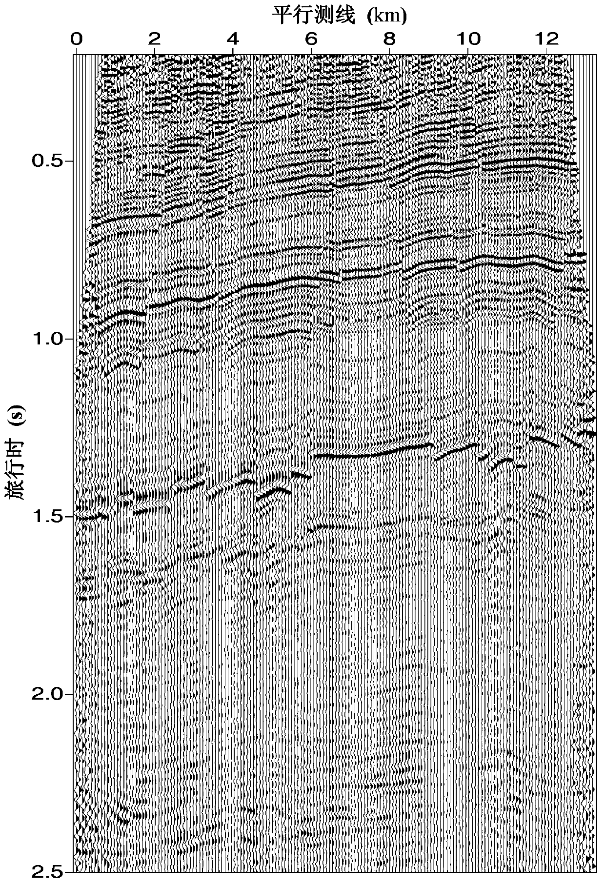
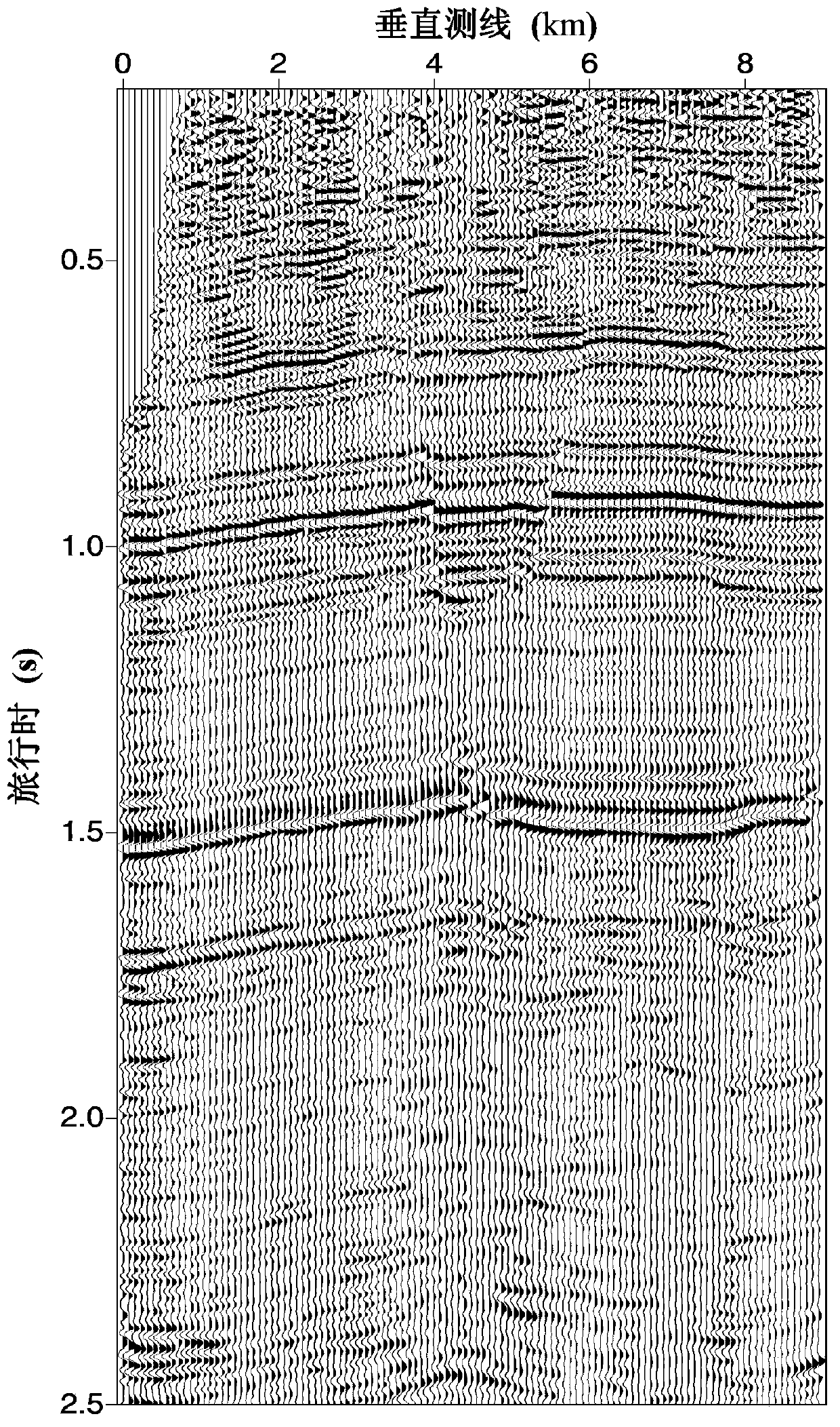
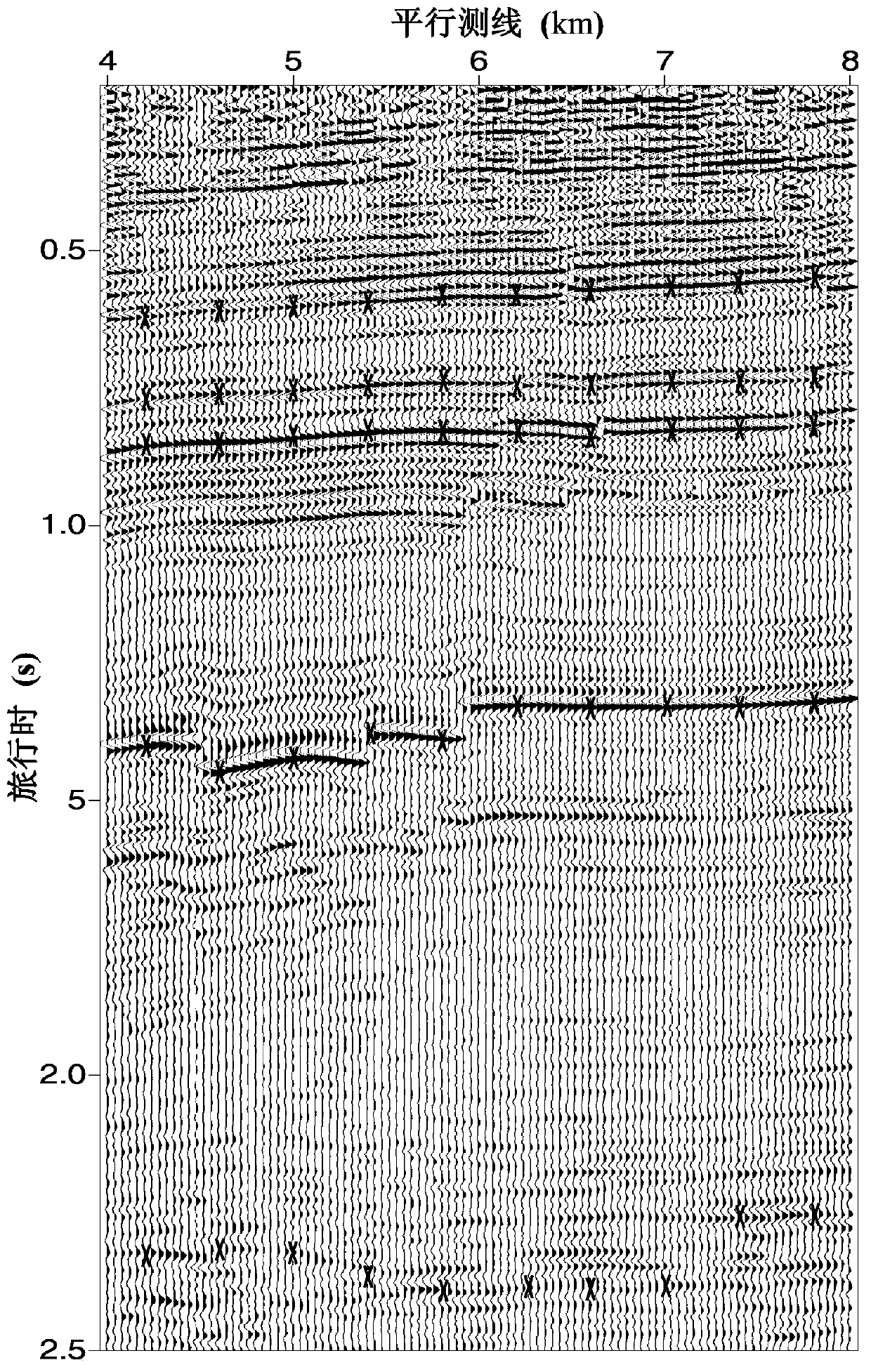
[0114] Embodiment 1: A method for improving seismic imaging resolution, taking the eastern onshore oilfield as an example, specifically the following steps:
[0115] (1) Use multiple streamers or survey lines to collect reflected seismic signals excited by artificial seismic sources, and record the seismic signals on magnetic tape. The specific acquisition parameters are: 12 survey lines record seismic signals at the same time, the survey line spacing is 80m, each survey line has 2801 geophone groups, and the geophone group spacing is 40m; the shot line is arranged along the vertical survey line direction, and the shot points are along the shot line The distance between the shot lines is 40m, and the line spacing between shot lines is 40m. A total of 5679 shots were collected, the recording length was 2.5s, and the time sampling was 1ms.
[0116] (2) Read the seismic signals from the tape to the computer, and perform conventional noise attenuation and pre-stack time migration ...
PUM
 Abstract
Description
Claims
Application Information
 - R&D
- Intellectual Property
- Life Sciences
- Materials
- Tech Scout
- Unparalleled Data Quality
- Higher Quality Content
- 60% Fewer Hallucinations
Browse by: Latest US Patents, China's latest patents, Technical Efficacy Thesaurus, Application Domain, Technology Topic, Popular Technical Reports.
© 2025 PatSnap. All rights reserved.Legal|Privacy policy|Modern Slavery Act Transparency Statement|Sitemap|About US| Contact US: help@patsnap.com


