
Camera self-calibration technology-based river model topography measurement method

A river engineering model and self-calibration technology, which is applied in the field of river engineering model terrain measurement based on camera self-calibration technology, can solve the problems that the focal length cannot be changed, cannot be moved, and the measurement range of a single set of equipment is small, achieving the effect of easy use and low cost

Active Publication Date: 2014-03-05
BEIJING JIANGYI TECH
View PDF3 Cites 15 Cited by
  • Summary
  • Abstract
  • Description
  • Claims
  • Application Information

AI Technical Summary

Problems solved by technology

This type of method requires multiple cameras, and the parameters of each camera are calibrated in advance. During the measurement process, all parameters such as the position and focal length of the camera cannot be changed. In actual use, the equipment cannot be moved after it is set up. The measurement of a single set of equipment The scope is small, when it is necessary to measure a large-scale river engineering model, it is necessary to arrange multiple sets of equipment

Method used


Image

  • Camera self-calibration technology-based river model topography measurement method
  • Camera self-calibration technology-based river model topography measurement method
  • Camera self-calibration technology-based river model topography measurement method

Examples


Embodiment Construction

[0029] Various details involved in the technical solution of the present invention will be described in detail below in conjunction with the accompanying drawings and embodiments. It should be pointed out that the described embodiments are only intended to facilitate the understanding of the present invention, but not to limit it in any way.

[0030] A kind of river engineering model terrain measurement method based on camera self-calibration technology of the present invention, such as figure 1 Proceed as follows:

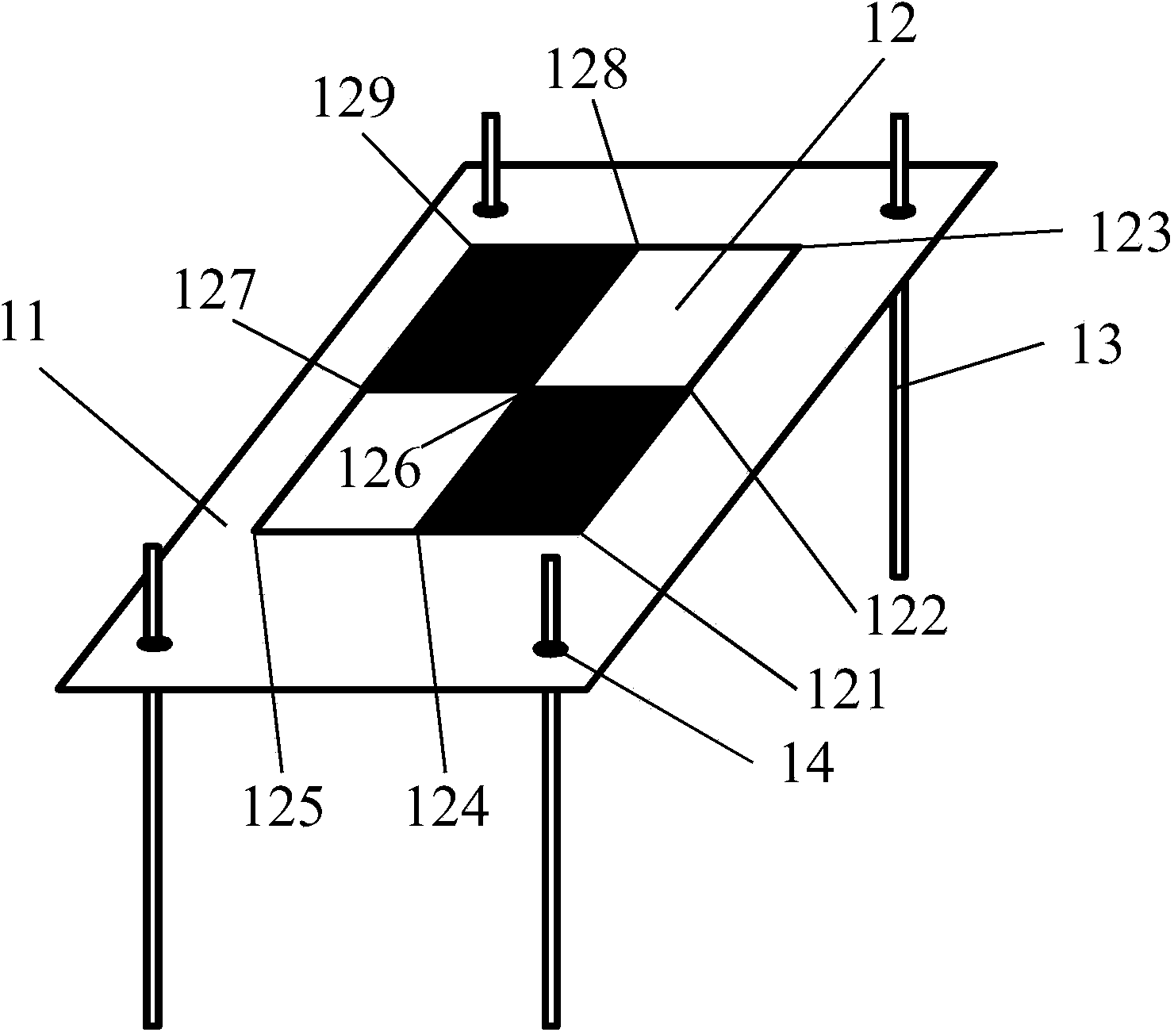
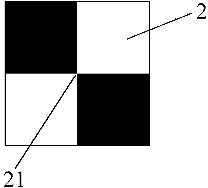
[0031]Step A: Make and install the calibration plate: Make a calibration plate consisting of a calibration plate and a fixed bracket. The surface of the calibration plate is provided with four black and white rectangular grid patterns. The fixing bracket is fixed to the bottom surface of the calibration plate, and the calibration plate can be adjusted. height and horizontal position; record the length and short side of the rectangular grid pattern (as the basis f...


PUM


Abstract

The invention relates to a camera self-calibration technology-based river model topography measurement method and belongs to the technical field of river model measurement. The method includes the following steps that: a calibration board is manufactured and mounted, and auxiliary calibration sheets are manufactured and scattered, and pictures of a river model are taken, and feature points of the pictures are extracted, and all the pictures are matched with each other in pairs, and the feature points in the picture pairs are matched with each other based on feature distance; unreasonable matched identical name point pairs are eliminated, and one pair of pictures having the most matched identical name point pairs is selected, and camera parameters and the world coordinates of the matched identical name point pairs are calculated; and an optimization solution method is utilized to finely adjust the camera parameters of solved pictures, and sparse point cloud of the river model is calibrated, and dense point cloud of the river model is generated, and the topography of the river model can be generated according to three-dimensional coordinate data of the dense point cloud of the river model. The camera self-calibration technology-based river model topography measurement method of the invention has the advantages of high precision, convenient use and low cost.

Description

technical field [0001] The invention belongs to the technical field of river engineering model measurement, in particular to a river engineering model terrain measurement method based on camera self-calibration technology. Background technique [0002] During the planning, design and construction of important water conservancy and hydropower projects, river engineering model tests (studies on river bed evolution and river regulation) are required. By measuring the model topography before and after the test, we can obtain the scour-silt changes of the riverbed and the amount of sediment scour-silt under different flow conditions. The early measurement methods were mainly based on manual measurement using a level instrument. This method is time-consuming and laborious, and there are relatively few measurement points, resulting in a low-resolution model terrain. With the development of automatic measurement and control technology, a large number of river engineering model topo...

Claims


Application Information

Patent Timeline
IPC IPC(8): G06T17/05
CPCY02A20/402
Inventor 钟强陈启刚
Owner BEIJING JIANGYI TECH
Learn More