Path planning method and system

A path planning and optimal path technology, applied in road network navigators, special data processing applications, measurement devices, etc., can solve the problems of large-scale road networks, preprocessing time consumption, large storage space, and high-density object processing Efficiency reduction and other issues, to achieve the effect of reducing construction time, reducing storage space, and narrowing the search range

Active Publication Date: 2014-06-04
BEIJING TECHNOLOGY AND BUSINESS UNIVERSITY
View PDF6 Cites 43 Cited by
  • Summary
  • Abstract
  • Description
  • Claims
  • Application Information

AI Technical Summary

Problems solved by technology

The problem with this method is that as the number of network layers constructed increases, the time consumption and storage space required for preprocessing will also increase, and it does not solve the problem of large-scale road networks.
This sc

Method used


Image

  • Path planning method and system
  • Path planning method and system
  • Path planning method and system

Examples


Embodiment Construction

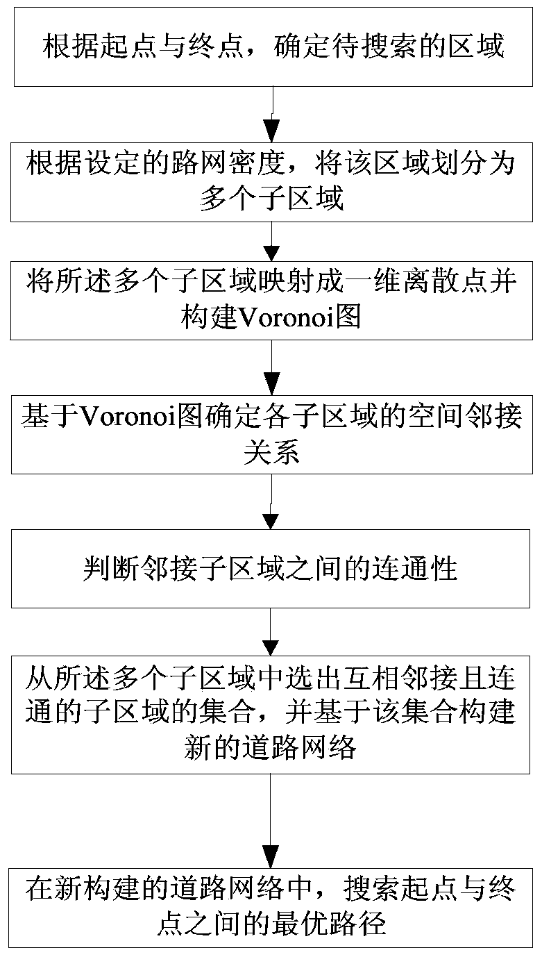
[0045] In order to make the object, technical solution and advantages of the present invention clearer, the present invention will be further described in detail below through specific embodiments in conjunction with the accompanying drawings. It should be understood that the specific embodiments described here are only used to explain the present invention, not to limit the present invention.

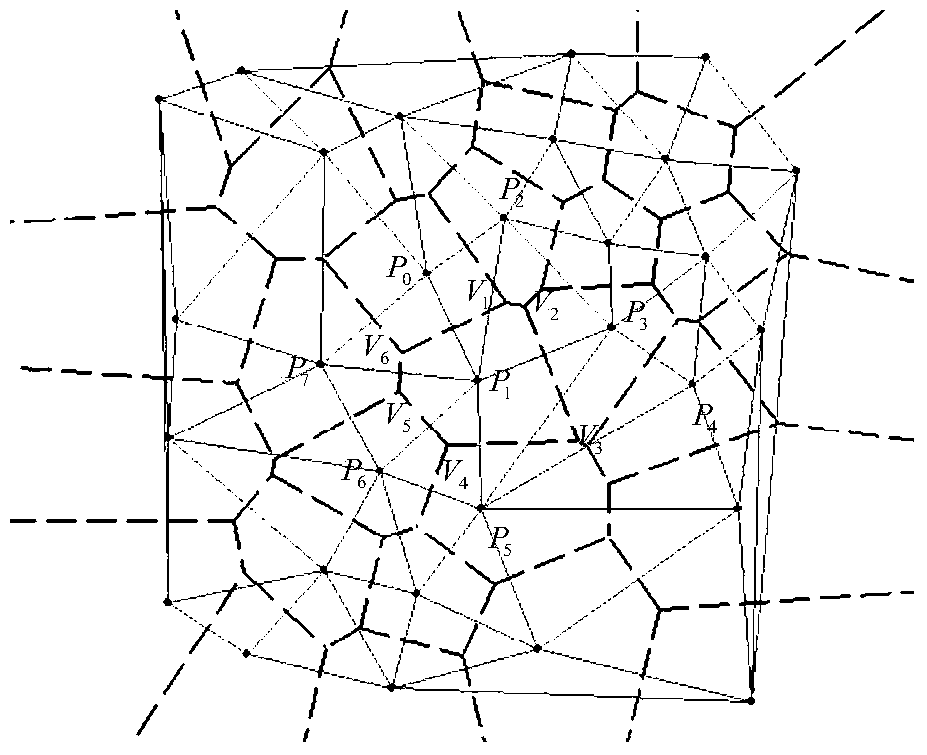
[0046] In order to better understand the content of the present invention, at first the Voronoi diagram is briefly introduced:

[0047] A Voronoi diagram is composed of a set of continuous polygons consisting of perpendicular bisectors connecting straight lines between two adjacent points. N distinct points on the plane, divide the plane according to the nearest neighbor principle; each point is associated with its nearest neighbor area. In simple terms, for example, for two points A and B in the plane, the area of ​​the point closer to point A than to point B is the half plane contai...


PUM


Abstract

The invention provides a method for planning a path in an urban road traffic network. The method comprises the steps of dividing a region to be searched, which is determined according to a start point and a final point, into multiple sub regions according to a given road network density; then mapping the multiple sub regions into one-dimensional discrete points, and forming a Voronoi graph based on the discrete points; determining an adjacency relation between every two of all the sub regions according to the Voronoi graph, and judging the connectivity between every two adjacent sub regions; constructing a new road network according to a set of the selected adjacent sub regions which are communicated, and searching an optimal path between the start point and the final point in the new constructed road network. According to the method, the construction time of a road network topological structure is shortened; furthermore, the search range of the path is narrowed, the search time is shortened and the search efficiency is improved.

Description

technical field [0001] The invention belongs to the field of intelligent road traffic, in particular to a method for path planning in intelligent traffic. Background technique [0002] Path planning is the most basic application in intelligent transportation, that is, to select the shortest path from the current point to the target point as the travel route for travelers in the urban road traffic network. Urban road traffic network (referred to as road network for short) is usually represented by an undirected graph with weights. Among them, intersections in the road network are regarded as vertices of the undirected graph, and paths in the road network are edges in the undirected graph. The classic methods for solving the shortest path in a graph include methods such as Dijkstra, Folyd, and A*. However, these classic shortest path algorithms generally have problems such as high computational complexity and excessive storage consumption when dealing with large-scale road n...

Claims


Application Information

Patent Timeline
IPC IPC(8): G01C21/34G06F17/30
CPCG01C21/34G01C21/3446
Inventor 蔡强程白羽毛典辉刘亚奇李楠
Owner BEIJING TECHNOLOGY AND BUSINESS UNIVERSITY
Why Eureka
Try Eureka