Spatial Simultaneous Imaging Processing Method for 2D Vertical Seismic Section and 3D Surface Data
A vertical seismic profile and seismic data technology, applied in seismic signal processing and other directions, can solve problems such as errors, achieve the effects of reducing uncertainty, improving imaging effect, and expanding the effective imaging range
- Summary
- Abstract
- Description
- Claims
- Application Information
AI Technical Summary
Problems solved by technology
Method used
Image
Examples
Embodiment Construction
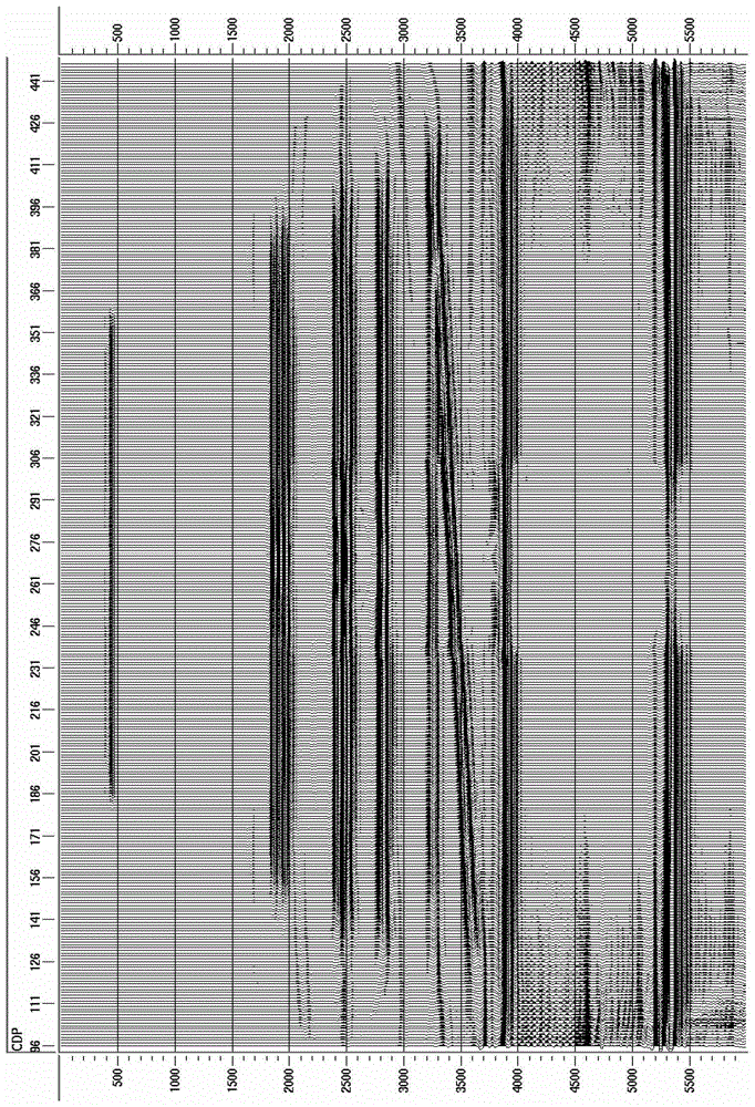
[0026] The invention includes: (1) Three-dimensional grid fitting of Walkaway VSP data in any direction. (2) Extraction of the three-dimensional layer velocity model along the Walkaway direction. (3) The migration aperture calculation technology and travel time design of Walkaway VSP data based on 3D surface seismic data observation. (4) Walkaway VSP datum extension and 3D surface seismic data synchronous integration and summation technology.
[0027] Its concrete implementation steps of the present invention are:
[0028] 1) At different positions on a straight line on the ground, artificially stimulate seismic waves, use geophones to receive them in the well, and obtain the original Walkaway VSP shot data, process and correct this data and 3D ground seismic data to the data specified by the processing parameters Datum surface (such as CMP surface, etc.);
[0029] Step 1) The processed and corrected Walkaway VSP data are shot data, and the 3D ground seismic data are CMP ga...
PUM
 Abstract
Description
Claims
Application Information
 - R&D
- Intellectual Property
- Life Sciences
- Materials
- Tech Scout
- Unparalleled Data Quality
- Higher Quality Content
- 60% Fewer Hallucinations
Browse by: Latest US Patents, China's latest patents, Technical Efficacy Thesaurus, Application Domain, Technology Topic, Popular Technical Reports.
© 2025 PatSnap. All rights reserved.Legal|Privacy policy|Modern Slavery Act Transparency Statement|Sitemap|About US| Contact US: help@patsnap.com

