

WebGIS (geographic information system) map optimization based gradation loading method for tens of thousands of cameras
A hierarchical loading, camera technology, applied in electrical digital data processing, special data processing applications, instruments, etc., can solve problems such as reduced user experience, system unavailability, browser page suspended animation, etc., to optimize loading and ensure response speed. , the effect of enhancing the experience
- Summary
- Abstract
- Description
- Claims
- Application Information
AI Technical Summary
Problems solved by technology
Method used
Image

Examples
Embodiment Construction
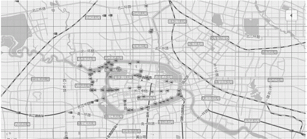
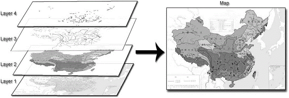
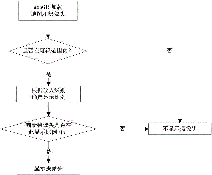
[0020] A method for optimizing and hierarchically loading tens of thousands of cameras on a WebGIS map, including: (1) The WebGIS map obtains the boundaries within the user's visible area displayed on the browser web page, and loads the spatial library data; (2) The WebGIS map follows a hierarchical grid The loading strategy loads the cameras within the visible area of the user; (3) loads the business script code when the user requests the page, sends a loading request, and loads the data asynchronously; (4) accurately displays the spatial position of each camera, and its latitude and longitude are accurate to the decimal point The last 4 to 5 digits; (5) Compress the script files that need to be imported, confuse the identifiers, and publish them online to the WebGIS system. The map space library is a database for saving camera, building and point information that needs to be loaded on the WebGIS system page. After the system loads the data, because there is no need for ove...
PUM
 Abstract
Description
Claims
Application Information