Multi-channel transient electromagnetic (MTEM) virtual wave field extraction device and method
A technology of transient electromagnetic method and virtual wave field, which is applied in the direction of measuring device, electric/magnetic exploration, radio wave measurement system, etc., can solve the problem that the numerical method cannot meet the requirements, and achieve the effect of strong anti-interference ability
- Summary
- Abstract
- Description
- Claims
- Application Information
AI Technical Summary
Problems solved by technology
Method used
Image
Examples
Embodiment 1
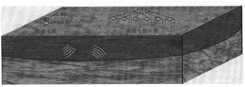
[0145] In order to verify the virtual wave field extraction effect of correlation superposition method, three extraction methods are used to extract virtual wave field from MTEM data, and their effects are compared. Figure 10 It is the geoelectric model of the embodiment of the present invention, the model is a two-layer horizontal model, the depth of the formation interface is 200m, the resistivity of the upper layer is 100Ω·m, and the resistivity of the lower layer is 10Ω·m. The length of the emission source is 500m, the emission current is 10A, and the receiving point is located 1000m away from the midpoint of the emission source. In order to compare the anti-interference performance of the three methods, 5% random noise is added to the simulation data, and three methods are used to extract the virtual wave field from the noise-free data and the noise-containing data respectively.
[0146] Figure 11-12 It is the result of virtual wave field extraction using singular valu...
Embodiment 2
[0150] In order to compare the actual application effects of different virtual wave field extraction methods, three methods are used to extract the virtual wave field from the MTEM measured data, and their effects are compared.
[0151] The coverage of the Cenozoic in the survey area is relatively thick, and faults are relatively developed in the Huangtuyaoyan Formation and granite porphyry outcropping areas, mainly in the northeast direction (north-west direction), followed by the near-north-south direction. The northeast fault is the main fault in the area. Figure 17 Line map for MTEM. The total length of the survey line is 4.8km, and the angle is 57° from north to east. The emitter pole distance is 240m, and the receiver pole distance is 40m. The emission current is 30A, the frequency is 128Hz, and 10 receivers are used to collect 30 electric field data at the same time. During acquisition, the position of the receiver is fixed, and the transmitter runs poles along the ...
PUM
 Abstract
Description
Claims
Application Information
 - R&D
- Intellectual Property
- Life Sciences
- Materials
- Tech Scout
- Unparalleled Data Quality
- Higher Quality Content
- 60% Fewer Hallucinations
Browse by: Latest US Patents, China's latest patents, Technical Efficacy Thesaurus, Application Domain, Technology Topic, Popular Technical Reports.
© 2025 PatSnap. All rights reserved.Legal|Privacy policy|Modern Slavery Act Transparency Statement|Sitemap|About US| Contact US: help@patsnap.com


