Landslide extraction method based on remote-sensing image and altitude data

A remote sensing image and elevation data technology, applied in image data processing, image enhancement, image analysis, etc., can solve problems such as a large number of training samples, low extraction difficulty, large research areas and less research on complex background features

Inactive Publication Date: 2017-04-26
INST OF REMOTE SENSING & DIGITAL EARTH CHINESE ACADEMY OF SCI
View PDF5 Cites 20 Cited by
  • Summary
  • Abstract
  • Description
  • Claims
  • Application Information

AI Technical Summary

Problems solved by technology

However, machine learning methods usually require a large number of training samples and have high requirements for the distribution of sample data.
This greatly limits the efficiency and practicability of the machine learning method based on a remote sensing image training model in other remote sensing images
[0006] In addition, most of the research areas extracte

Method used


Image

  • Landslide extraction method based on remote-sensing image and altitude data
  • Landslide extraction method based on remote-sensing image and altitude data
  • Landslide extraction method based on remote-sensing image and altitude data

Examples


Embodiment Construction

[0056] The technical solutions in the embodiments of the present application will be described below with reference to the drawings in the embodiments of the present application. Apparently, the described embodiments are only some embodiments of the present application, not all examples.

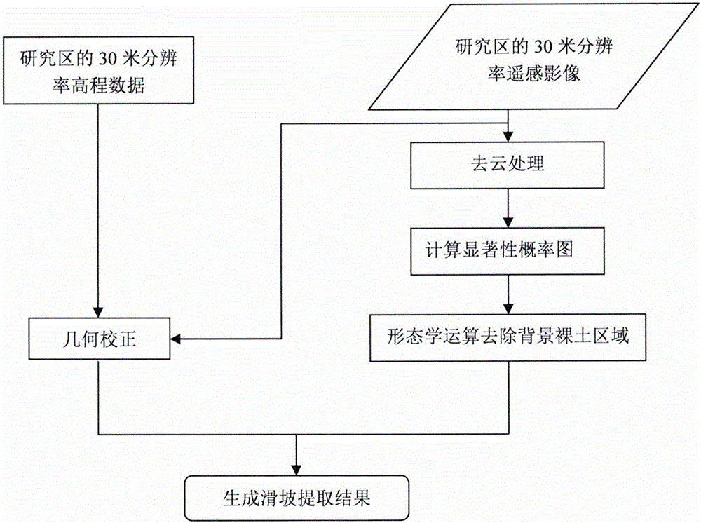
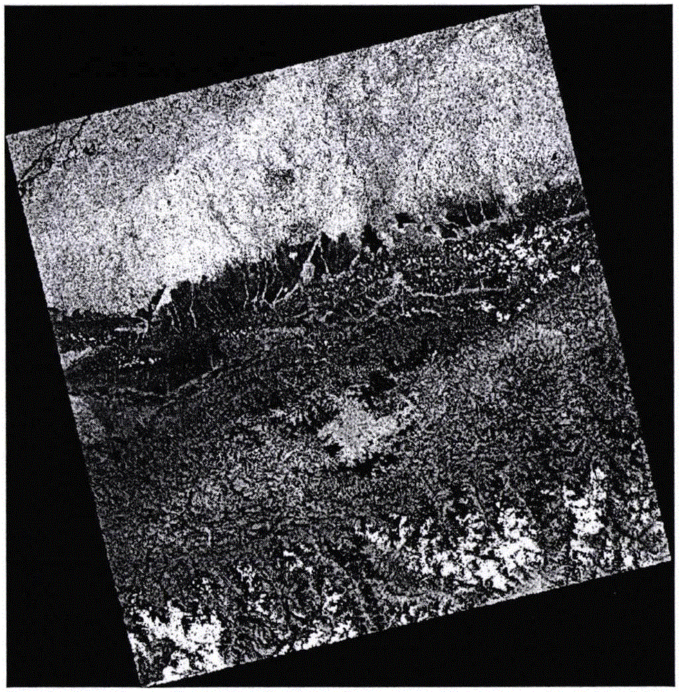
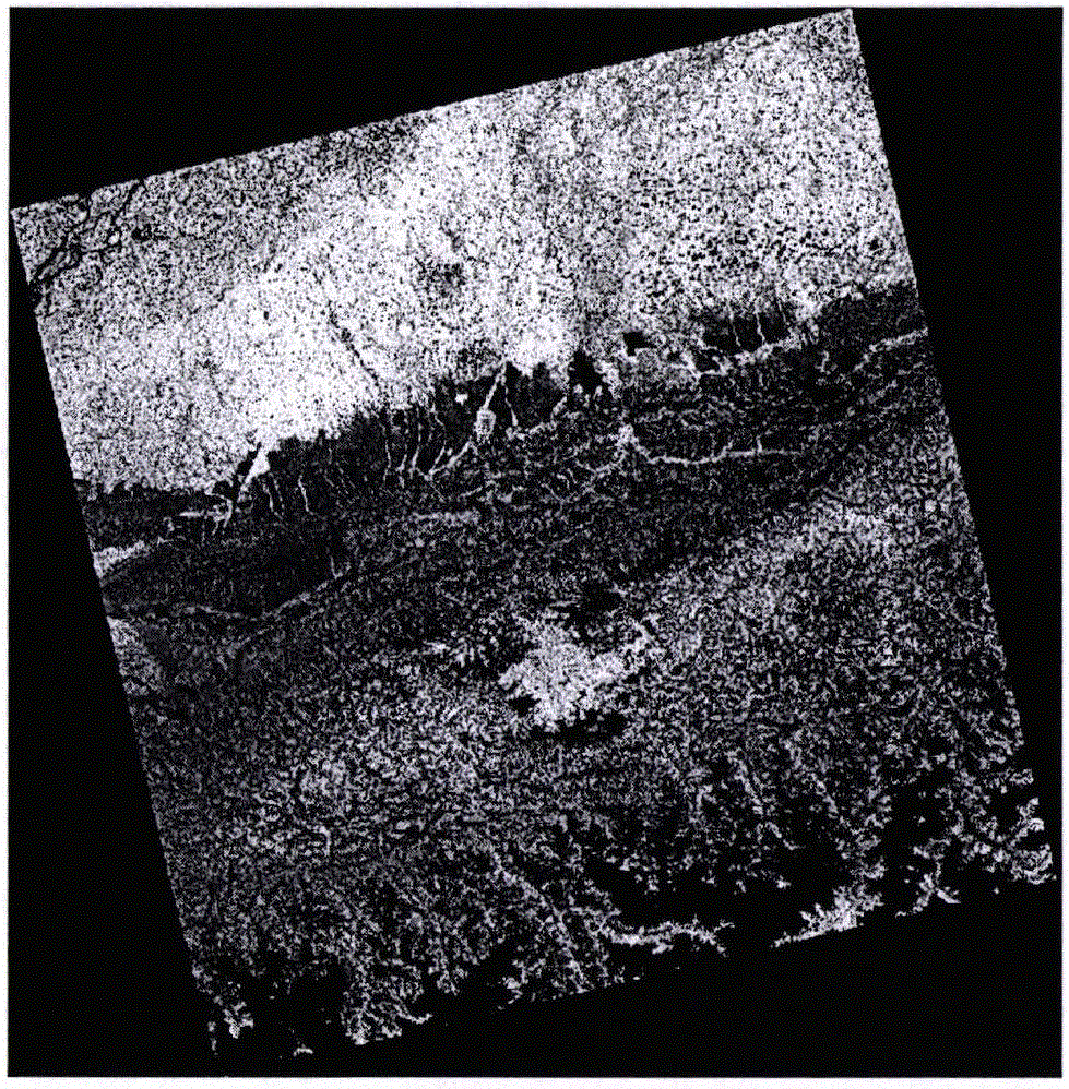
[0057] In the embodiment of the present application, the region near the Himalayas in Nepal is used as the research area, and a Landsat8 image with a resolution of 30 meters on June 1, 2015 (covering space 2 ° x 2 °) is selected (such as figure 2 shown) and the 30-meter resolution DEM data of the corresponding area are experimental data (such as image 3 shown). figure 2 The cloud shown can be removed by using the 9th band image of Landsat8 to generate a cloud mask, and then get Figure 4 .

[0058] Such as Figure 5 As shown, the FASA method can better enhance the bare soil area information and weaken the vegetation and other information. However, most of the bare soil belongs to non...


PUM


Abstract

The invention discloses a landslide extraction method based on a large-range remote-sensing image and altitude data. According to the method, on the basis of a remote-sensing image of a study area and corresponding altitude data, a bare soil region in the image is enhanced by using a significance concept to obtain a significance probability graph, wherein each pixel belongs to a probability graph of a landslide. On the basis of an expansion operation in a morphological algorithm, little large-plaque bare soil in the image is communicated to form a large area and thus the difference with a small landslide area is enhanced, so that the non-landslide bare soil area can be rejected to obtain a landslide potential region. On the basis of the characteristic of frequent occurrence of the landslide at a mountainous area, the potential landslide region at the mountain slope is kept by combining the altitude data to obtain a final landslide extraction result. With the method disclosed by the invention, problems of small research range and simple situation for the existing landslide extraction example can be solved; a technological base is provided for large-range practical rapid landslide extraction; and thus the method plays an important role in post-disaster emergency response and rapid landslide area positioning.

Description

[0001] Technical field: [0002] The invention relates to the fields of image processing and pattern recognition, and relates to a method for extracting landslides based on large-scale remote sensing images and elevation data. [0003] Background technique: [0004] Landslide, as one of the main natural disasters, often poses a serious threat to human life and property. In the past few decades, frequent landslides have aroused great concern in society. Rapid and accurate detection of landslides not only helps people understand the mechanism of landslides, but also provides guiding data for taking emergency measures after disasters, and provides a reliable basis for evaluating the degree of disaster. [0005] The continuous development of satellite sensors and the continuous improvement of the resolution of remote sensing data have made it possible to monitor large-scale landslides. At present, landslide detection methods are mostly based on change detection, and the occurrenc...

Claims


Application Information

Patent Timeline
IPC IPC(8): G06T7/00G06T7/90
CPCG06T2207/10024G06T2207/10032G06T2207/20036
Inventor 于博陈方
Owner INST OF REMOTE SENSING & DIGITAL EARTH CHINESE ACADEMY OF SCI
Why Eureka
Try Eureka