Modular construction method and system for simulation scene of helicopter earthquake rescue
A technology for simulating scenes and construction methods, applied in 3D modeling, image data processing, instruments, etc., to save modeling time and cost and ensure training effects
- Summary
- Abstract
- Description
- Claims
- Application Information
AI Technical Summary
Problems solved by technology
Method used
Image
Examples
Embodiment 1
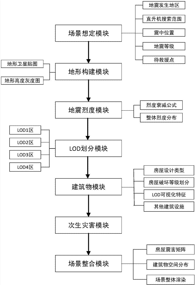
[0065] Such as figure 1 As shown, the embodiment of the present invention provides a method for constructing a helicopter earthquake rescue simulation scene modularization, including the following steps:
[0066] S1, determine the basic information of the earthquake simulation scene, including: the occurrence area, occurrence range, epicenter location, magnitude and rescue location;
[0067] S2, constructing the real topography of the earthquake area;
[0068] S3, in the constructed real terrain, obtain the distribution of attenuation intensity in the area where the earthquake occurred;
[0069] S4. According to the basic information of the earthquake simulation scene, the earthquake occurrence area is divided into four detail areas, among which, the first detail area is the helicopter hovering rescue area, which is circular, and the other detail areas are the first detail area. The center of the circle of the degree of detail area is the ring center of the circle, the area ...
Embodiment 2
[0122] An embodiment of the present invention provides a helicopter earthquake rescue simulation scene modular construction system, including:
[0123] The scenario scenario module is used to determine the basic information of the earthquake simulation scenario, including: occurrence area, occurrence range, epicenter location, magnitude and rescue location;
[0124] Terrain building blocks for constructing the real terrain of the earthquake region;
[0125] The seismic intensity module is used to obtain the distribution of attenuation intensity in the area where the earthquake occurs in the constructed real terrain;
[0126] The detail area division module is used to divide the earthquake occurrence area into four detail areas according to the basic information of the earthquake simulation scene, among which, the first detail area is the helicopter hovering rescue area, which is circular, and the other detail areas The area is a ring centered on the center of the area with th...
specific Embodiment
[0143] The embodiment of the present invention provides a method for constructing a helicopter earthquake rescue simulation scene modularization, which is implemented by the following steps:
[0144] Step 1: Set the location of the earthquake as a mountainous area in Chongli County, and the magnitude of the earthquake is 6;
[0145] Step 2: Construct the real terrain of a mountainous area in Chongli County, including the following steps:
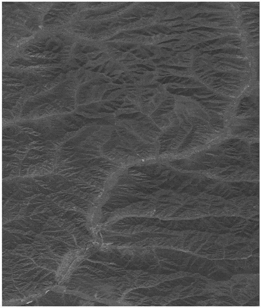
[0146] First, download the satellite image and real DEM information of a mountainous area in Chongli County, where the satellite image can be found in figure 2 ;
[0147] Then, process the obtained DEM information to obtain the real height information;
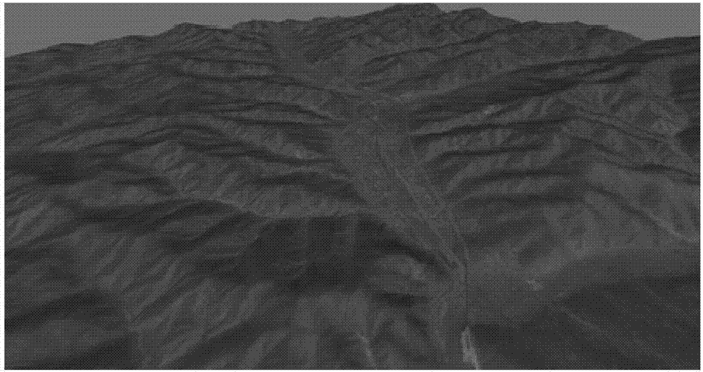
[0148] Finally, superimpose the satellite map and the processed terrain height information to get the real terrain of Chongli area, see image 3 shown. It is also possible to divide the terrain evenly, such as Figure 4 shown.
[0149] The terrain is evenly divided, which is conducive...
PUM
 Abstract
Description
Claims
Application Information
 - R&D
- Intellectual Property
- Life Sciences
- Materials
- Tech Scout
- Unparalleled Data Quality
- Higher Quality Content
- 60% Fewer Hallucinations
Browse by: Latest US Patents, China's latest patents, Technical Efficacy Thesaurus, Application Domain, Technology Topic, Popular Technical Reports.
© 2025 PatSnap. All rights reserved.Legal|Privacy policy|Modern Slavery Act Transparency Statement|Sitemap|About US| Contact US: help@patsnap.com


