A Matching Method of Satellite Remote Sensing Image

A satellite remote sensing image and matching method technology, applied in the field of aerospace remote sensing satellites, can solve the problems of blind setting, lack of parameter adaptive setting, lack of analysis of the geometric offset characteristics of the same name point in the overlapping area of ​​the image, etc. Fast processing effects

Active Publication Date: 2019-07-09
河北中色测绘有限公司
View PDF6 Cites 0 Cited by
  • Summary
  • Abstract
  • Description
  • Claims
  • Application Information

AI Technical Summary

Problems solved by technology

However, when using the above algorithm to match multi-camera stitching imaging sensor images, due to the lack of analysis of the geometric offset characteristics of the same point in the overlapping area of ​​the image, the setting of parameters such as the target search range and direction during the matching process is relatively blind, and it is not accurate. With parameter self-adaptive setting function

Method used


Image

  • A Matching Method of Satellite Remote Sensing Image
  • A Matching Method of Satellite Remote Sensing Image
  • A Matching Method of Satellite Remote Sensing Image

Examples


Embodiment Construction

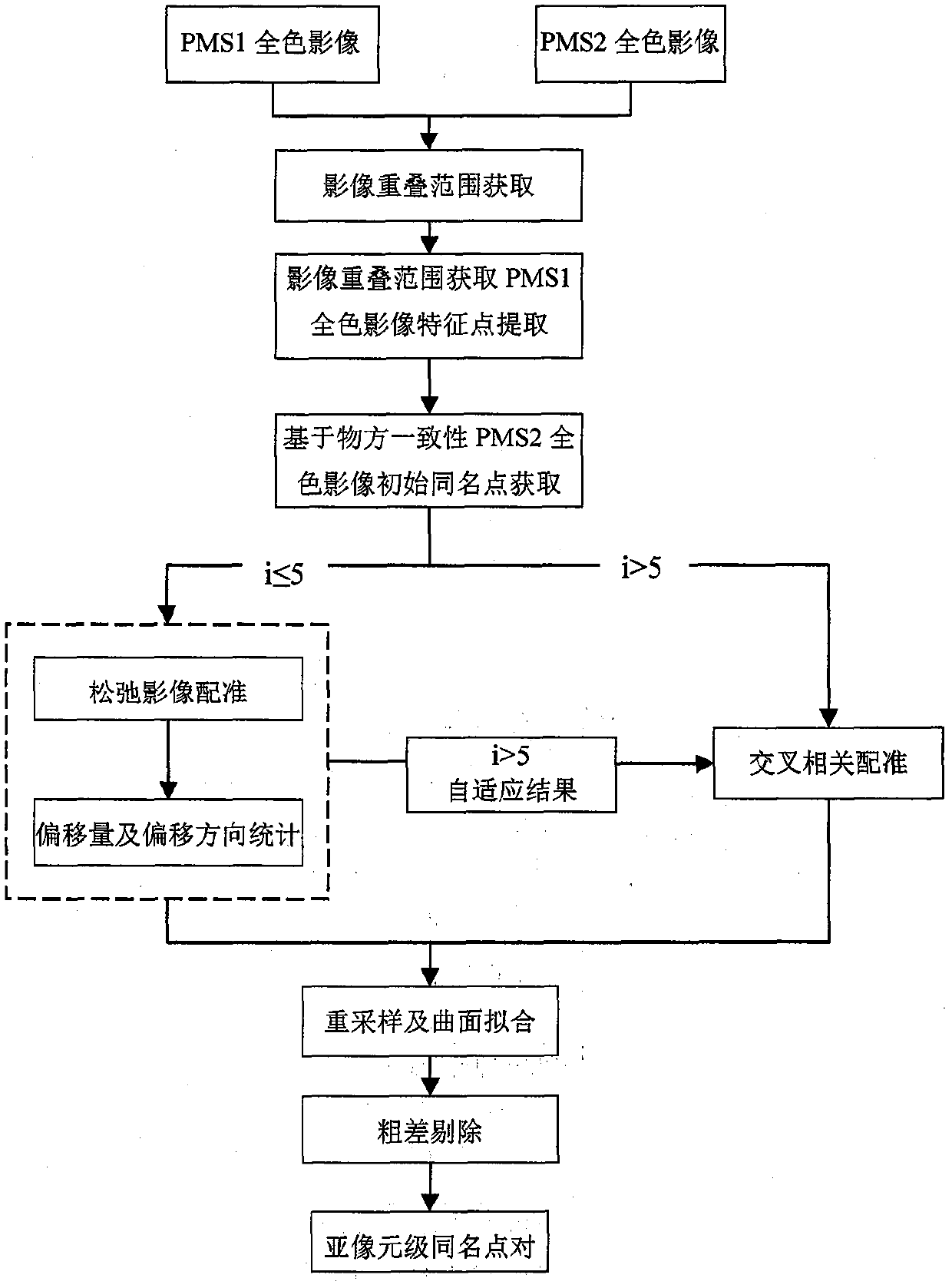
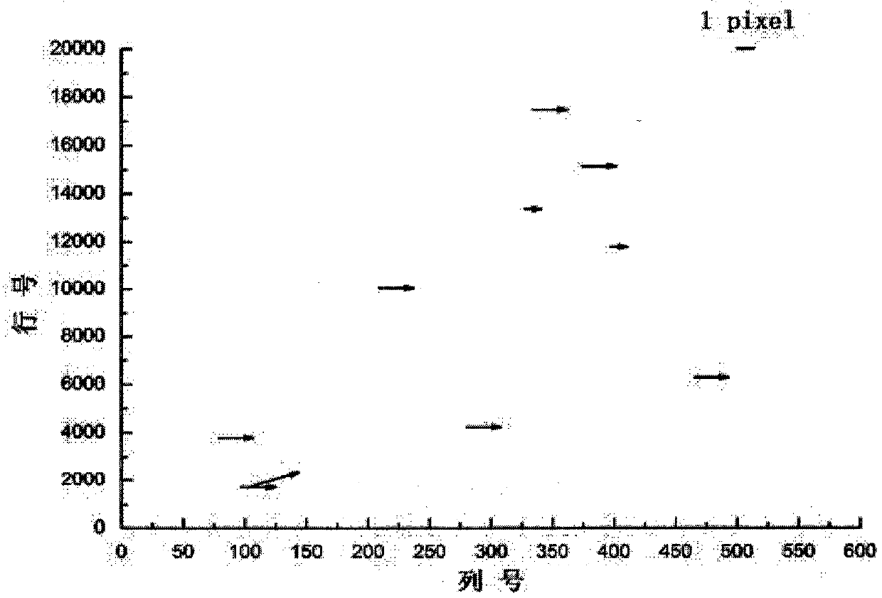
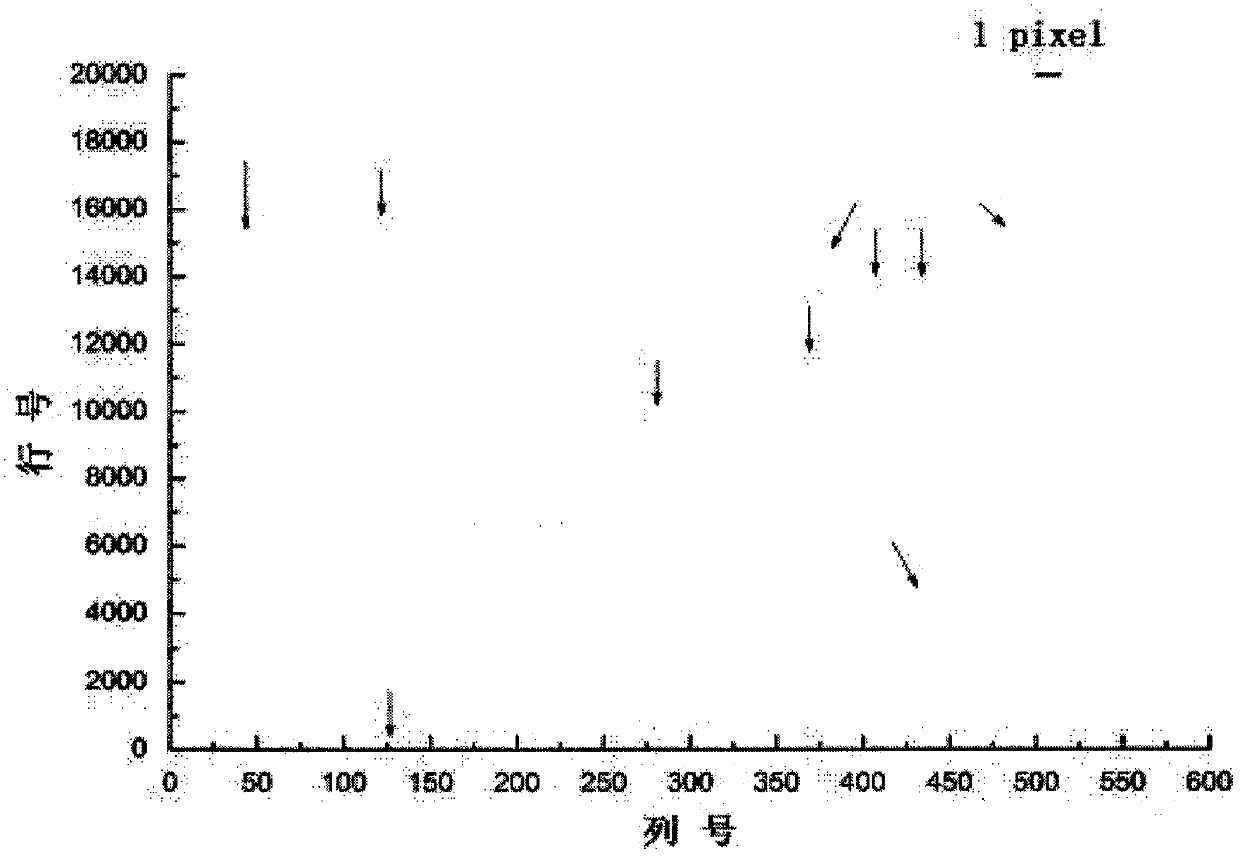
[0028] like figure 1 A satellite remote sensing image matching method of the present invention includes extraction of overlapping area range, analysis of geometric offset characteristics of points with the same name, feature point set extraction of overlapping area of ​​PMS1 panchromatic image, initial search window size and range setting, initial search point The row and column number difference statistics and adaptive iterative calculation between the bit and the real point with the same name. The present invention takes the GF-1 satellite PMS sensor as an example to illustrate the satellite image self-adaptive matching process considering the characteristics of multi-camera splicing imaging.

[0029] 1) Extraction of overlapping area range. Using the method based on the geometric constraints of the object space, the range of the overlapping area between panchromatic images on the same track is obtained. After a comprehensive statistical analysis of the images in different...


PUM


Abstract

The invention discloses a satellite remote sensing image matching method. The method specifically comprises the steps of 1) extracting an overlapping region range; 2) analyzing geometric offset characteristics of homonymous points; 3) extracting a feature point set of an overlapping region of a PMS1 panchromatic image; 4) setting initial search window size and range; 5) performing statistics on row and column number difference between initial search points and real homonymous points; and 6) performing adaptive iterative computing. Compared with a conventional satellite image matching method, the satellite remote sensing image matching method realizes adaptive setting of search window, range and direction in the image matching process, and is more suitable for matching processing between images of a multi-camera splicing imaging sensor.

Description

technical field [0001] The invention relates to the field of aerospace remote sensing satellites, in particular to a satellite remote sensing image matching method. Background technique [0002] Currently, limited by the width of a single high-resolution camera, satellites cannot acquire large-scale high-resolution satellite images at the same time. Multi-camera stitching imaging technology is often used to place multiple high-resolution cameras along the vertical orbit to achieve high-resolution and high-resolution images. Wide coverage combined. For example, the GF-1 satellite, the first star of my country's high-resolution earth observation system, uses a dual-camera (PMS1 camera and PMS2 camera) splicing imaging technology for earth observation on the PMS multispectral sensor carried by the satellite platform. [0003] However, due to the influence of camera installation errors and the external environment, the positions of the same-named points in the image overlapping...

Claims


Application Information

Patent Timeline
Patent Type & Authority Patents(China)
IPC IPC(8): G06T7/33
CPCG06T2207/10032
Inventor 韩杰
Owner 河北中色测绘有限公司
Why Eureka
Try Eureka