A Edge Correction Method Applicable to Multiple Remote Sensing Images in Large Areas
A remote sensing image, large-area technology, applied in the field of remote sensing image processing, can solve problems such as affecting relative accuracy, excessive image stretching, uneven deformation, etc. Effect
- Summary
- Abstract
- Description
- Claims
- Application Information
AI Technical Summary
Problems solved by technology
Method used
Image
Examples
Embodiment Construction
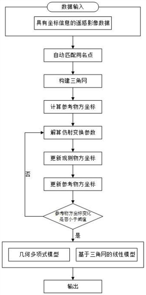
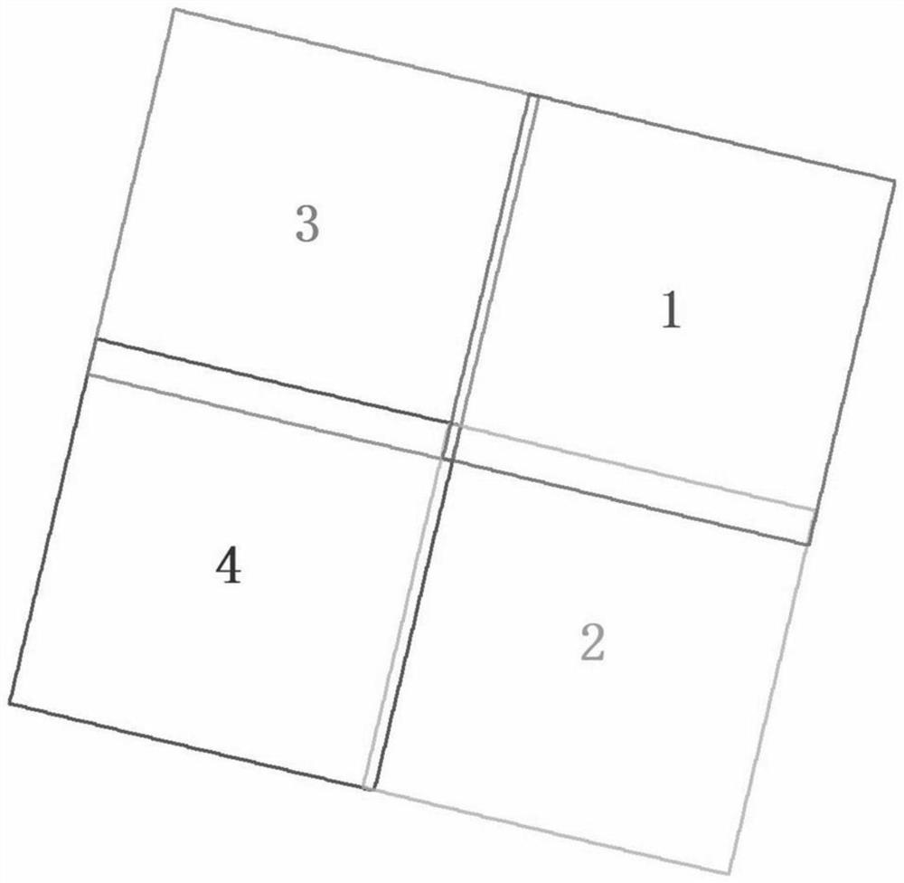
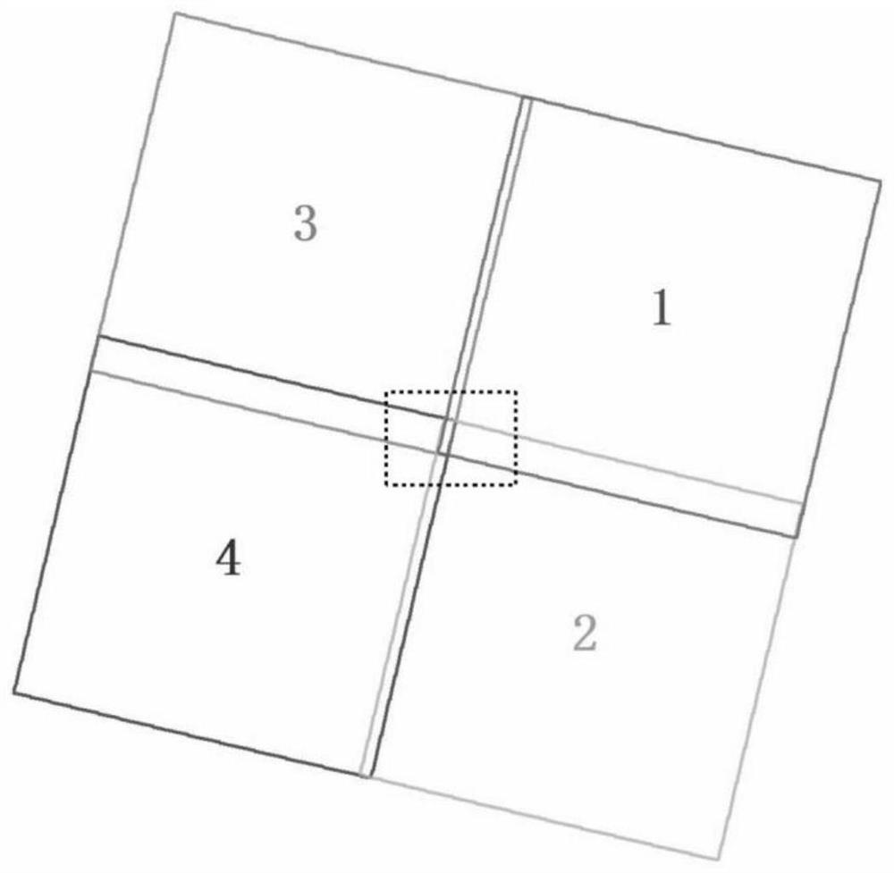
[0041] The specific embodiment of the present invention is as shown in the accompanying drawings. Taking the edge correction between four adjacent orthophotos with a certain overlapping adjacent area as an example (as shown in Figure 2), the specific steps are:
[0042] 1. Obtain the point with the same name
[0043] Using the image gray-scale cross-correlation matching technology based on object space constraints to automatically match the same-named points in the adjacent areas of all images, obtain the same-named points, and ensure that any identical-named point in the adjacent area has an observation on all observed images at this position value;
[0044] 2. Use the same-name points matched in step 1 to construct a triangular network
[0045] 3. For each point with the same name, calculate the reference object space coordinates of the point with the same name according to the observed object space coordinates of the same point on each image. Methods as below:
[0046] ...
PUM
 Abstract
Description
Claims
Application Information
 - R&D
- Intellectual Property
- Life Sciences
- Materials
- Tech Scout
- Unparalleled Data Quality
- Higher Quality Content
- 60% Fewer Hallucinations
Browse by: Latest US Patents, China's latest patents, Technical Efficacy Thesaurus, Application Domain, Technology Topic, Popular Technical Reports.
© 2025 PatSnap. All rights reserved.Legal|Privacy policy|Modern Slavery Act Transparency Statement|Sitemap|About US| Contact US: help@patsnap.com


