Unmanned ship water quality detection work path dual-radar accurate positioning method
A technology for water quality testing and unmanned ships, applied in radio wave measurement systems, radio wave reflection/re-radiation, measurement devices, etc., can solve problems such as inability to meet high-precision positioning
- Summary
- Abstract
- Description
- Claims
- Application Information
AI Technical Summary
Problems solved by technology
Method used
Image
Examples
Embodiment 1
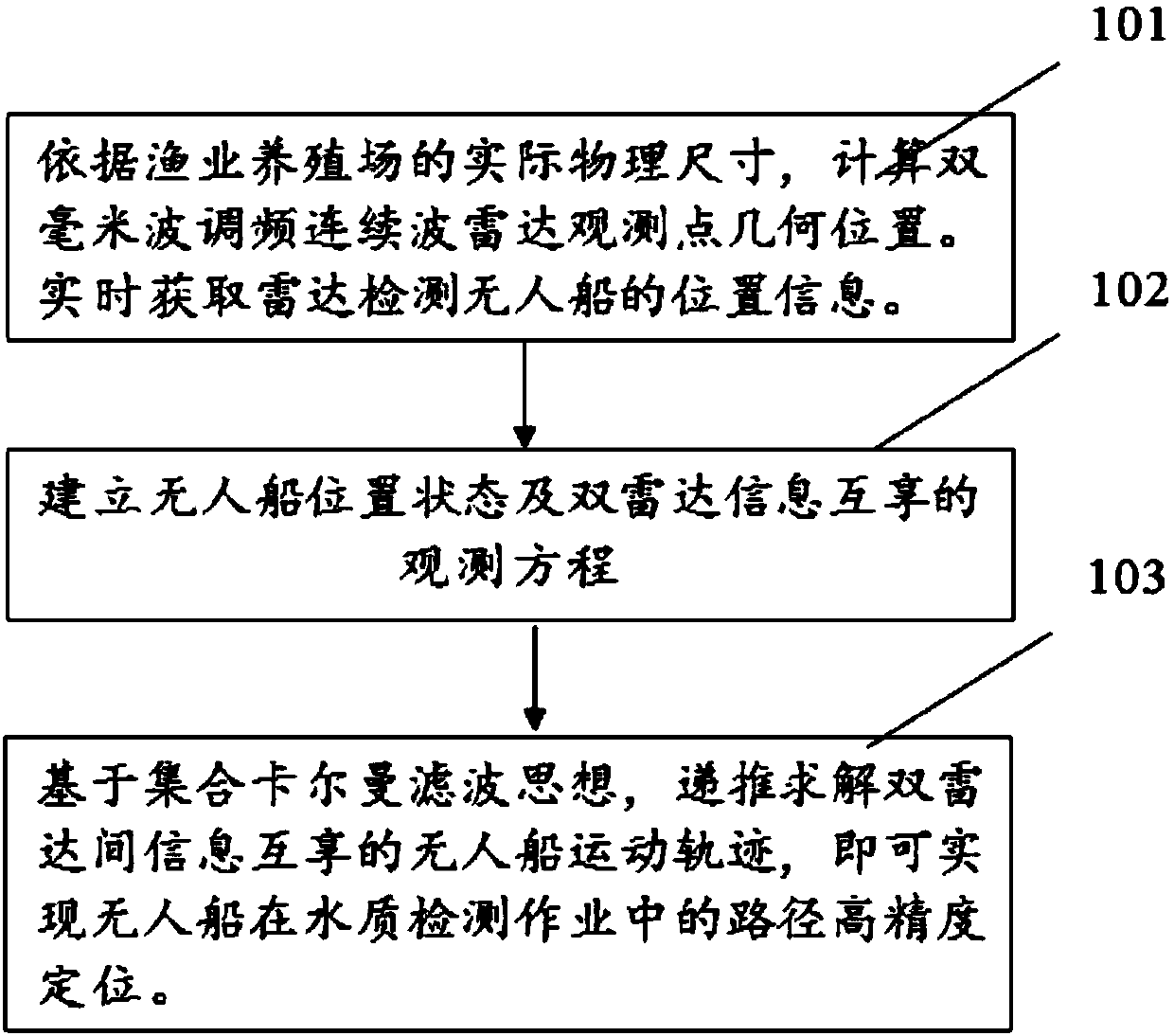
[0070] figure 1 It is a schematic flow chart of the unmanned ship operation path positioning method in this embodiment, combined below figure 1 , will describe in detail the precise positioning process of the unmanned ship's operating path in this embodiment.
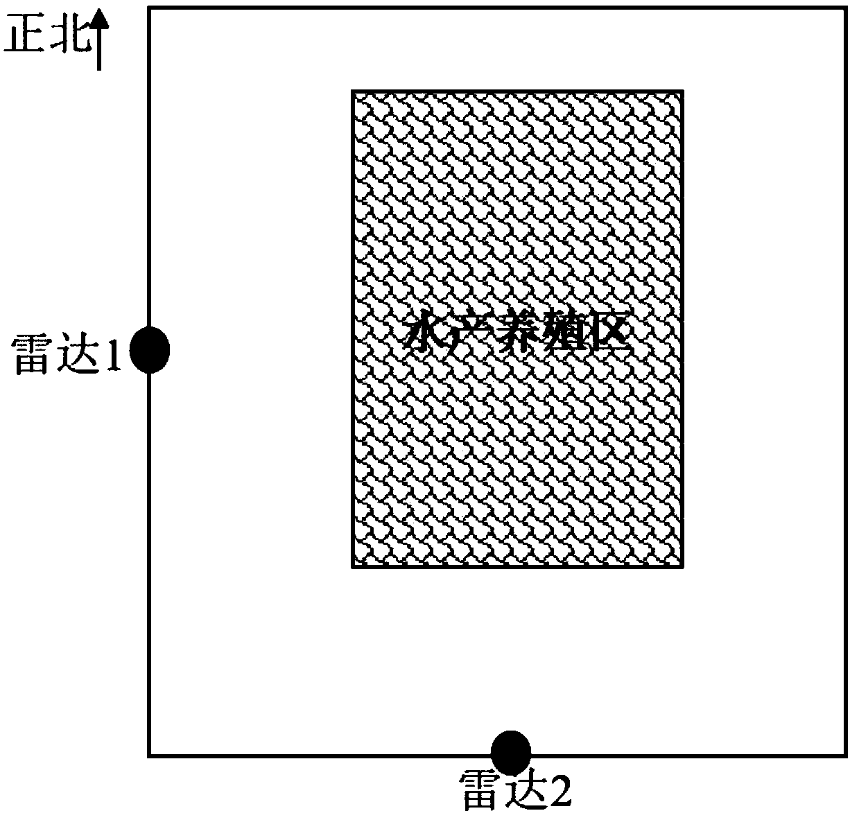
[0071] First, according to the actual physical size of the fish farm and its geographical distribution characteristics, a north-south rectangle is used to optimize the matching and fitting of the fish farm. The east-west center point and the north-south center point of the rectangle are the observation points of the dual millimeter wave FM continuous wave radar, see figure 2 . In this embodiment, the distance and radial velocity data output by the radar are acquired and collected in real time through the serial port protocol.
[0072] Secondly, use equations (1)-(5) to establish the observation equations for the position state of the unmanned ship and the mutual sharing of dual radar information.
[0073] Finally, ...
PUM
 Abstract
Description
Claims
Application Information
 - R&D
- Intellectual Property
- Life Sciences
- Materials
- Tech Scout
- Unparalleled Data Quality
- Higher Quality Content
- 60% Fewer Hallucinations
Browse by: Latest US Patents, China's latest patents, Technical Efficacy Thesaurus, Application Domain, Technology Topic, Popular Technical Reports.
© 2025 PatSnap. All rights reserved.Legal|Privacy policy|Modern Slavery Act Transparency Statement|Sitemap|About US| Contact US: help@patsnap.com


