A massive point cloud spatial management method based on octree-like encoding

A space management and fork tree technology, applied in the field of massive point cloud space management based on octree-like coding

Active Publication Date: 2019-02-15
NORTH CHINA ELECTRIC POWER UNIV (BAODING)
View PDF3 Cites 33 Cited by
  • Summary
  • Abstract
  • Description
  • Claims
  • Application Information

AI Technical Summary

Problems solved by technology

[0026] However, among the various three-dimensional space combination indexing methods, there is no one method that is obviously superior to other methods a

Method used


Image

  • A massive point cloud spatial management method based on octree-like encoding
  • A massive point cloud spatial management method based on octree-like encoding
  • A massive point cloud spatial management method based on octree-like encoding

Examples


Embodiment Construction

[0099] The technical solutions of the present invention will be further specifically described below through embodiments and in conjunction with the accompanying drawings.
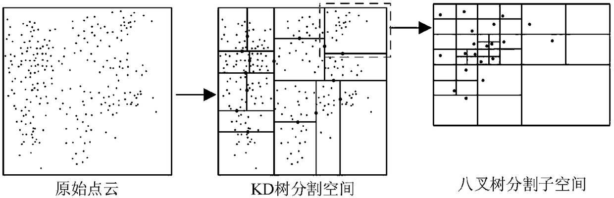
[0100] The main inventive idea of ​​the present invention is to establish an octree-like spatial index structure for fast and efficient organization and management of massive point clouds.

[0101] The method of the present invention is the basis for other operations based on the above-mentioned point cloud data. Reasonable point cloud organization and effective scheduling make the process of massive point cloud processing have better timeliness and improve the efficiency of point cloud data at the same time. Flexibility and operability in practical engineering applications.

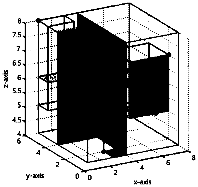
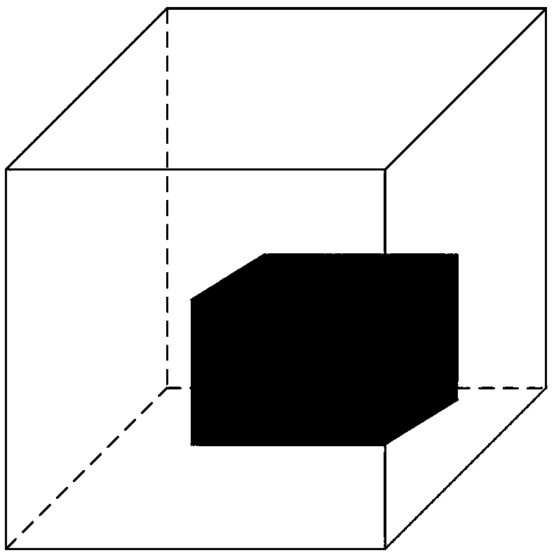
[0102] Spatial index is a data structure arranged in a certain order according to the position and shape of spatial objects or a certain relationship between spatial objects, which contains the summary information of spatial objects....


PUM


Abstract

A mass point cloud spatial management method based on octree-like encoding takes the massive point cloud data as the research object, and is a hybrid point cloud index structure which combines the spatial segmentation of KD-tree to achieve efficient management of mass point cloud. The method is characterized in that firstly, the space of point cloud is partitioned by KD tree, and the subspace is further partitioned by octree, and the octree-like index structure is established; the traditional linear octree coding is improved and the optimized coding method is used to encode the space in orderto achieve better spatial management and neighborhood search. The experimental results and comparative analysis show that octree-like structure can make the overall structure of data organization morereasonable, improve the access efficiency and reduce the occupancy of memory space. The method not only improves the speed of traditional KD tree index, but also improves the problem that traditionaloctree occupies too much space and takes too long to search neighborhood, and realizes the reasonable management of massive point cloud space.

Description

technical field [0001] The invention relates to the field of three-dimensional information model data processing, in particular to a massive point cloud space management method based on octree-like coding. Background technique [0002] With the advancement of computer technology and the increasing demand for digitization, 3D models, as a new type of multimedia digital technology, are developing at a rapid pace. In recent years, 3D laser scanning technology has developed rapidly. With the continuous improvement of its performance in terms of efficiency, accuracy, ranging range, etc. and the development of related theories, 3D scanning technology has been applied in more and more fields. Three-dimensional laser scanning directly performs three-dimensional dense sampling on the earth's surface, and can quickly obtain massive and irregular spatially distributed three-dimensional point clouds with three-dimensional coordinates (X, Y, Z) and certain attributes (reflection intensit...

Claims


Application Information

Patent Timeline
IPC IPC(8): G06T17/00G06T7/10
CPCG06T7/10G06T17/005G06T2207/10028Y02D10/00
Inventor 鲁斌王强李阿楠陈娟
Owner NORTH CHINA ELECTRIC POWER UNIV (BAODING)
Why Eureka
Try Eureka