
Denoising method for a remote sensing satellite image

A remote sensing satellite and image technology, applied in the field of remote sensing satellite image processing, to achieve the effects of avoiding over-smoothing, good denoising effect, and shortened calculation time

Inactive Publication Date: 2019-04-19
BEIJING INSTITUTE OF TECHNOLOGYGY
View PDF3 Cites 4 Cited by
  • Summary
  • Abstract
  • Description
  • Claims
  • Application Information

AI Technical Summary

Problems solved by technology

[0005] In view of this, the present invention provides a denoising method for remote sensing satellite images, which solves the technical problems of achieving excellent texture detail preservation and good image denoising effects

Method used


Image

  • Denoising method for a remote sensing satellite image
  • Denoising method for a remote sensing satellite image
  • Denoising method for a remote sensing satellite image

Examples


Embodiment Construction

[0038] Various exemplary embodiments of the present invention will now be described in detail with reference to the accompanying drawings. It should be noted that the relative arrangements of components and steps, numerical expressions and numerical values ​​set forth in these embodiments do not limit the scope of the present invention unless specifically stated otherwise.

[0039] The following description of at least one exemplary embodiment is merely illustrative in nature and in no way taken as limiting the invention, its application or uses.

[0040] Techniques, methods and devices known to those of ordinary skill in the relevant art may not be discussed in detail, but where appropriate, such techniques, methods and devices should be considered part of the description.

[0041] In all examples shown and discussed herein, any specific values ​​should be construed as exemplary only, and not as limitations. Therefore, other instances of the exemplary embodiment may have dif...


PUM


Abstract

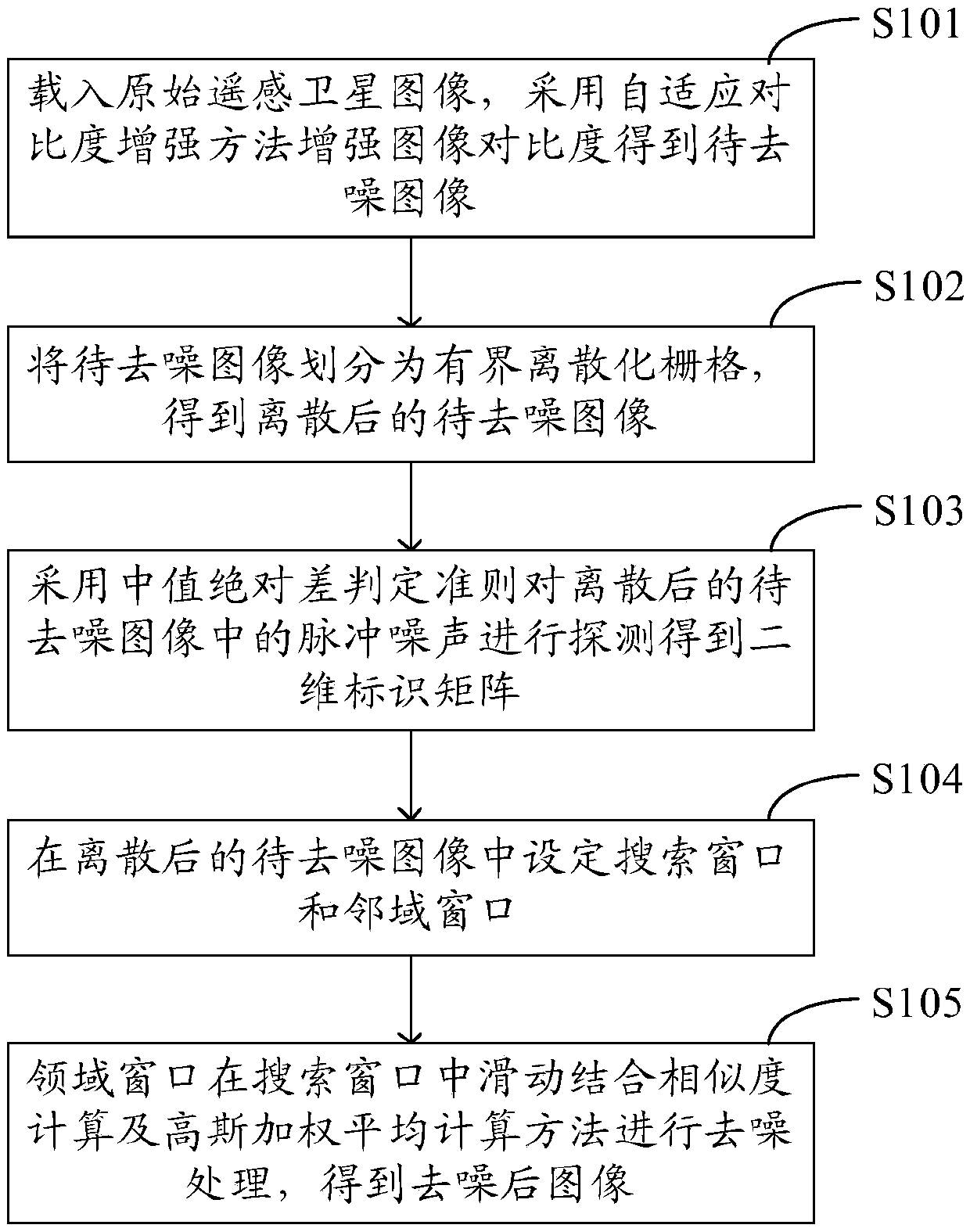
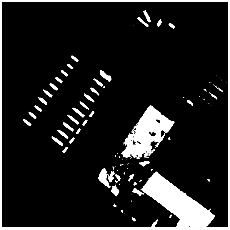
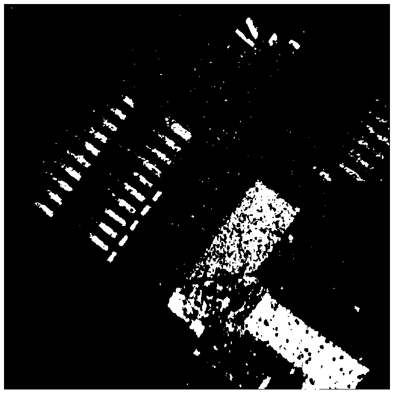
The invention discloses a denoising method for a remote sensing satellite image, and the method comprises the steps: loading an original remote sensing satellite image, and enhancing the image contrast by adopting an adaptive contrast enhancement method to obtain a to-be-denoised image; Dividing the to-be-denoised image into M * N bounded discretization grids to obtain a discretized to-be-denoisedimage; Detecting pulse noise in the discretized image to be denoised by adopting a median absolute difference judgment criterion to obtain a two-dimensional identification matrix F, wherein pixels inthe two-dimensional identification matrix F are in one-to-one correspondence with pixels of the image to be denoised; Setting a search window and a neighborhood window in the discretized image to bedenoised; And enabling the domain window to slide in the search window and denoising the domain window and by combining a similarity calculation method and a Gaussian weighted average calculation method, obtaining a denoised image. According to the method, excellent texture detail maintenance and a good image denoising effect can be realized, and meanwhile, the algorithm complexity is relatively low. Treatment efficiency is high.

Description

technical field [0001] The invention relates to the technical field of remote sensing satellite image processing, and more specifically, to a denoising method for remote sensing satellite images. Background technique [0002] With the development of remote sensing technology, target images acquired by remote sensing satellites have been widely used in military reconnaissance and early warning, land resource survey, disaster monitoring, environmental monitoring, engineering construction and planning, etc. Based on the above applications, human beings have gradually increased their demands on the types and quantities of remote sensing images. However, in practical applications, people do not blindly pursue the amount of data. The quality of remote sensing images is the factor that more directly affects the accuracy and reliability of information obtained. Therefore, image quality has increasingly become the focus of research. [0003] Noise is an important factor for image in...

Claims


Application Information

Patent Timeline
Patent Type & Authority Applications(China)
IPC IPC(8): G06T5/00
CPCG06T2207/10032G06T2207/20004G06T5/70
Inventor 高昆李若娴焦建超韩璐苏云张晓典王俊伟张宇桐
Owner BEIJING INSTITUTE OF TECHNOLOGYGY
Learn More