
Multi-level grid division method for complex geographic environment

A technology of geographic environment and grid division, applied in the field of big data, can solve the problem of large difference between the actual driving distance and the calculated value, and achieve the effect of simplifying the driving distance problem and improving the accuracy

Active Publication Date: 2020-04-24
WENZHOU UNIV
View PDF3 Cites 0 Cited by
  • Summary
  • Abstract
  • Description
  • Claims
  • Application Information

AI Technical Summary

Problems solved by technology

[0005] In order to solve the problem in the background technology that the complex geographical environment leads to a large difference between the actual driving distance and the calculated value, the present invention provides a multi-level grid division method for complex geographical environments

Method used


Image

  • Multi-level grid division method for complex geographic environment
  • Multi-level grid division method for complex geographic environment
  • Multi-level grid division method for complex geographic environment

Examples


Embodiment Construction

[0027] Embodiments of the present invention will be further described below in conjunction with accompanying drawings:

[0028] In an embodiment of the present invention, a multi-level grid division method for complex geographic environments includes the following steps:

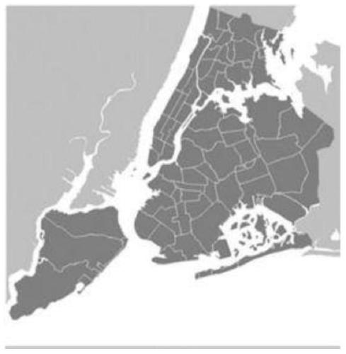
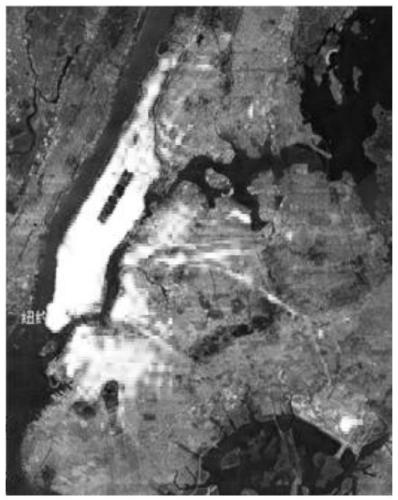
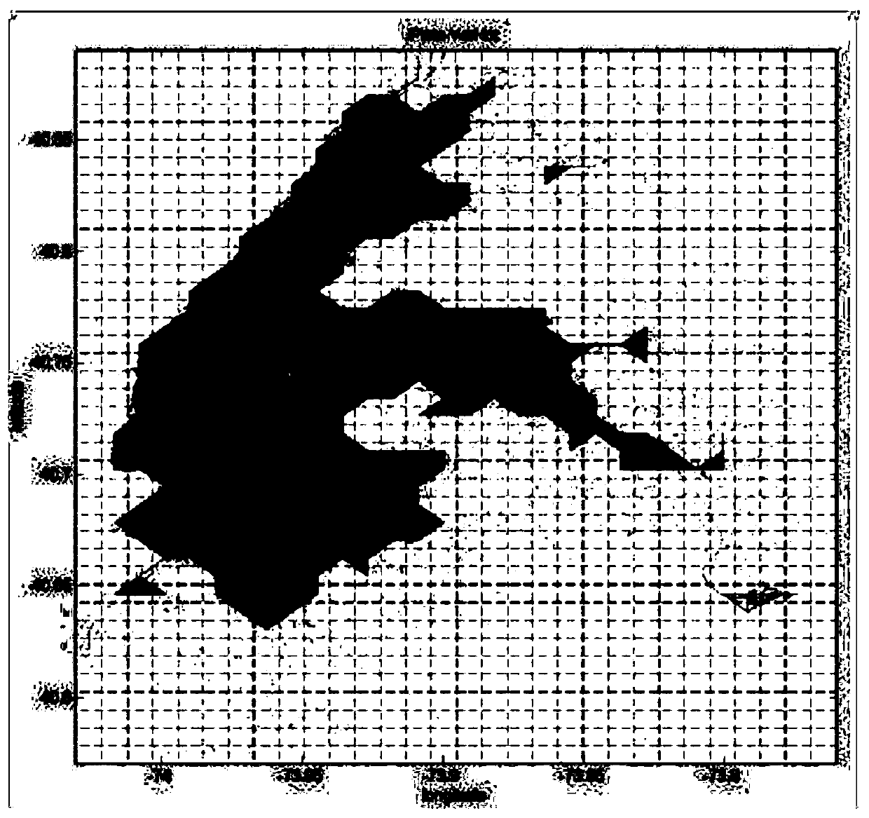
[0029] Step 1): Initial division: divide the urban area into grids. There are two methods for grid division. One is to divide by unit distance, and the unit distance is set to 1km*1km; the other is to divide by n*m , both work, but the latter is more flexible. Record each divided grid as (i, j), and record x ij ,y ij , i=1, 2...m, j=1, 2,...n is the latitude and longitude of the center point of the (i, j) grid area, x min ,y min ,x max ,y max Represents the minimum latitude and longitude of the New York administrative region, and the size of each spatial grid can be obtained as Δx*Δy,

[0030]

[0031] The latitude and longitude of the center point of the (i, j)th area is:

[0032]

[0033] The...


PUM


Abstract

A multi-level meshing method for complex geographical environments. It includes (1) initial grid division of urban areas; (2) obtaining driving records in each grid from GPS big data and calculating the stability index of each grid; (3) combining the geographical environment according to the stability index Divide the urban area into several independent areas; (4) Divide each independent area into a secondary grid, and match the driving records obtained from the GPS big data with each of the secondary grids; (5) Calculate the secondary network The stability index of the grid; (6) Repeat steps 4 to 5 to obtain the final region division result. The invention avoids unreasonable grid division caused by urban terrain barriers or traffic control, solves the problem of unstable driving distance between grids, and at the same time conveniently obtains parameter values ​​based on historical data, greatly simplifying In order to solve the problem of driving distance between two points, it improves the accuracy of high-efficiency customer search strategy.

Description

technical field [0001] The invention relates to the field of big data, in particular to a multi-level grid division method for complex geographic environments. Background technique [0002] Urban transportation plays a very important role in people's travel. The ideal situation is to match the transportation capacity with the travel demand, but in reality, such embarrassing situations often occur. Take taxis as an example: on the one hand, the streets are full of taxis, and on the other hand, passengers cannot get taxis; on the other hand, taxis are crowded , the other side is not a car at all. This situation has changed with the emergence of online car-hailing platforms such as "Didi" and "Shouqi", but there are still phenomena such as blind driving between the time when the operating vehicles are empty and when the order is received, and vehicles are stuck and pushed in hot spots. , For passengers, there are still problems such as long waiting time for taxis, and the eff...

Claims


Application Information

Patent Timeline
Patent Type & Authority Patents(China)
IPC IPC(8): G06Q10/04G06Q50/30G08G1/01
CPCG06Q10/047G08G1/0137G06Q50/40
Inventor 戴大蒙陈冉夏海江徐方方
Owner WENZHOU UNIV
Learn More