

Earthwork measurement and calculation system based on unmanned aerial vehicle surveying and mapping technology
A technology for earthwork and unmanned aerial vehicles, which is applied in the field of unmanned aerial vehicle surveying and mapping, can solve the difficulty of data such as height, depth, filling volume, and excavation volume, etc., it is difficult for the contractor to provide the workload, and it is difficult for the constructor to accurately measure the construction of the contractor. Progress and construction volume and other issues to achieve the effect of accurate measurement
- Summary
- Abstract
- Description
- Claims
- Application Information
AI Technical Summary
Problems solved by technology
Method used
Image

Examples
Embodiment Construction
[0052] In order to make the object, technical solution and advantages of the present invention clearer, the present invention will be further described in detail below in conjunction with specific embodiments. It should be understood that the specific embodiments described here are only used to explain the present invention, not to limit the present invention.
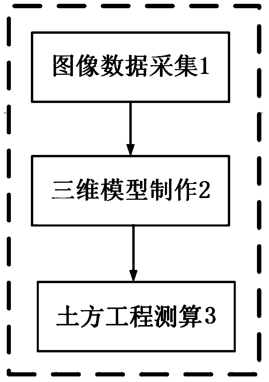
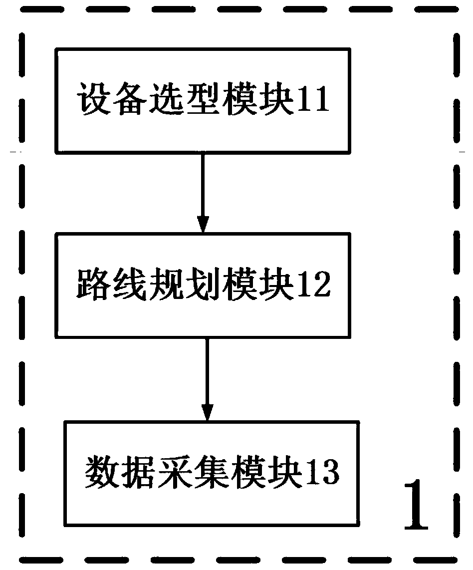
[0053] An earthwork calculation system based on unmanned aerial vehicle surveying and mapping technology, including image data collection 1, three-dimensional model production 2 and earthwork calculation 3, the image data collection 1 is connected with a three-dimensional model production 2 in series through a circuit, and the three-dimensional model production 2 Earthwork measurement 3 is connected in series through a circuit, and the three-dimensional model making 2 includes an equipment selection module 11, a route planning module 12 and a data acquisition module 13, and the equipment selection module 11 is connected...
PUM
 Abstract
Description
Claims
Application Information