
Robot navigation space reduction method

A robot and space technology, applied in the field of robot navigation, which can solve the problems of large amount of calculation, slow convergence speed and insufficient smooth planning path of robot navigation algorithm.

Active Publication Date: 2020-03-24
NANJING UNIV
View PDF8 Cites 9 Cited by
  • Summary
  • Abstract
  • Description
  • Claims
  • Application Information

AI Technical Summary

Problems solved by technology

[0005] Purpose of the invention: The purpose of this application is to provide a method for reducing the navigation space of a robot. Under the condition of ensuring that the optimal path can be learned, the navigation space is reduced, and the navigation is performed under the hexagonal grid map, so as to Solve the problems of the existing robot navigation algorithm, such as large amount of calculation, slow convergence speed, not smooth enough planning path, and low learning efficiency

Method used


Image

  • Robot navigation space reduction method
  • Robot navigation space reduction method
  • Robot navigation space reduction method

Examples


Embodiment Construction

[0062] Below in conjunction with accompanying drawing and embodiment the application is further described:

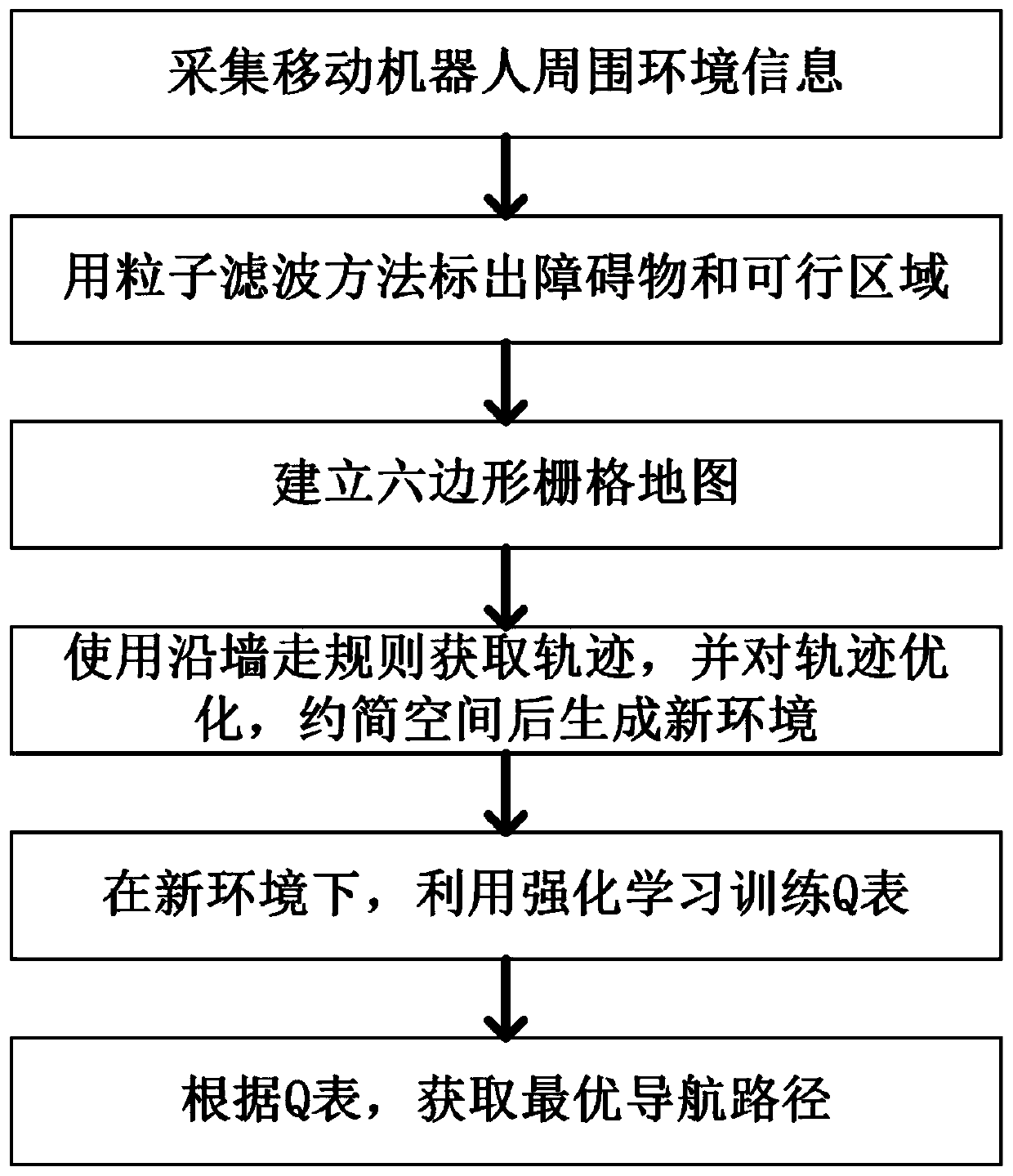
[0063] This application provides a method for reducing the robot navigation space, such as figure 1 shown, including the following steps:

[0064] (1) Start the robot, use the robot's sensors (such as laser radar, RGB-D camera) to scan the surrounding environment, perform data fusion on the surrounding environment data, obtain the surrounding environment information and perform dynamic updates; including:

[0065] According to the fusion of the depth image information acquired by the RGB-D camera and the data scanned by the lidar, the scanning local range information of the camera is calculated according to the calculation formulas (1-1) and (1-2), and then the RGB-D D The "scan range" of the camera:

[0066]

[0067]

[0068]

[0069] where r R ,r C ,r L are three-dimensional vectors, respectively representing the rightmost, middle and leftmost coordinate...


PUM


Abstract

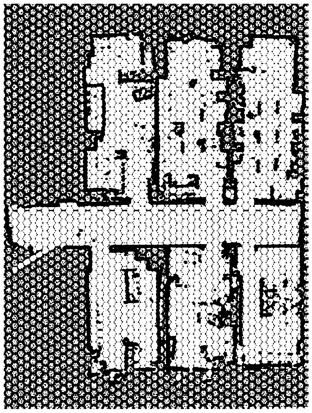
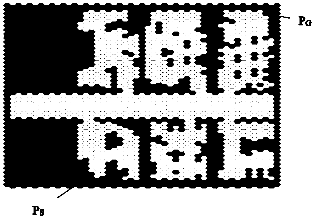
The invention discloses a robot navigation space reduction method which comprises the steps of enabling a robot to scan the surrounding environment through a sensor of the robot to obtain informationof surrounding environment; establishing a binary hexagonal grid map according to the surrounding environment information, marking a passable area and a non-passable area in a map, and forming an original environment map; according to the starting point position and the ending point position in the original environment map, acquiring two path tracks from the starting point to the ending point by using rules of walking along the left hand and the right hand; determining an optimization parameter K value, optimizing the two path trajectories, and joining the two optimized path trajectories to generate a reduced new navigation space; and according to the initial position of the robot and the new navigation space, updating the Q table through reinforcement learning, obtaining an optimal motionstrategy of the robot, and obtaining a motion path of the robot. The invalid exploration space of the robot in the navigation process is reduced, convergence is fast, and the learning efficiency is high.

Description

technical field [0001] The present application relates to robot navigation, in particular to a method for reducing the space of robot navigation. Background technique [0002] A key capability of mobile robots is the ability to efficiently navigate their environment, and reinforcement learning is widely used for path planning for mobile robots. However, the existing reinforcement learning is that the robot interacts with the space environment and gets feedback. This feedback is relatively weak, so the convergence is slow, which leads to the large amount of calculation, slow convergence speed and low learning efficiency of the existing robot navigation algorithm for machine learning. [0003] Existing navigation maps mostly use quadrilateral grid maps, of which squares are mostly squares. Although squares can be densely paved, they have general applicability in terms of degrees of freedom. For some uneven road surfaces, the connection effect during dense paving is not ideal, ...

Claims


Application Information

Patent Timeline
IPC IPC(8): G05D1/02
CPCG05D1/0251G05D1/0257G05D1/0223G05D1/0221G05D1/028G05D1/0276
Inventor 陈春林朱远洋伍雪菲王志辛博朱张青
Owner NANJING UNIV
Learn More