
Unmanned aerial vehicle air traffic control system

A technology of unmanned aerial vehicle and air traffic control, applied in the field of unmanned aerial vehicle, which can solve the problems that the no-fly area cannot be pushed in real time, and the aircraft cannot take off.

Inactive Publication Date: 2020-04-07
北京长焜科技有限公司
View PDF7 Cites 2 Cited by
  • Summary
  • Abstract
  • Description
  • Claims
  • Application Information

AI Technical Summary

Problems solved by technology

The aircraft will not be able to take off within the no-fly zone; when approaching the boundary of the no-fly zone from the outside, it will automatically slow down and hover, but the no-fly zone cannot be pushed to each drone in real time
[0006] Loading equipment such as the external pod of the drone sends the image to the ground station through the data link, and then the background operator checks the video screen in real time to see if there is any abnormal information. arrive

Method used


Image

  • Unmanned aerial vehicle air traffic control system
  • Unmanned aerial vehicle air traffic control system
  • Unmanned aerial vehicle air traffic control system

Examples


Embodiment 1

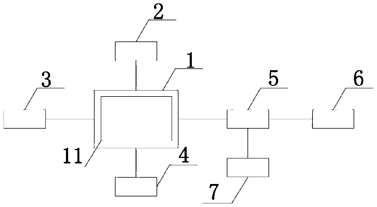
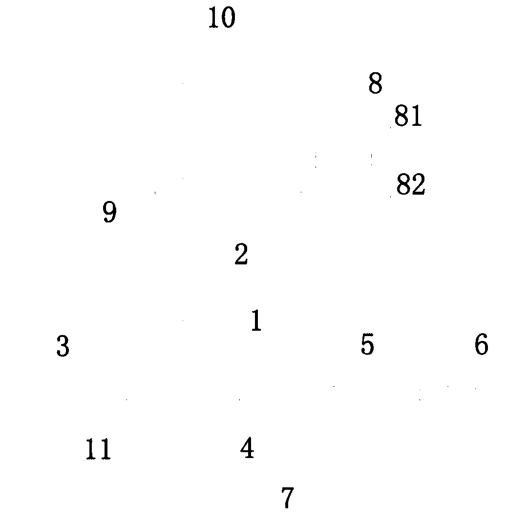
[0027] Such as Figure 1-3 As shown, a kind of unmanned aerial vehicle air traffic management system, comprises ground background supervising department and unmanned aerial vehicle, and described ground background supervising department 8 is connected with described unmanned aerial vehicle by base station 9 and core network (not shown in the figure), so The above-mentioned ground background supervision department can send the no-fly zone to the drone in real time.

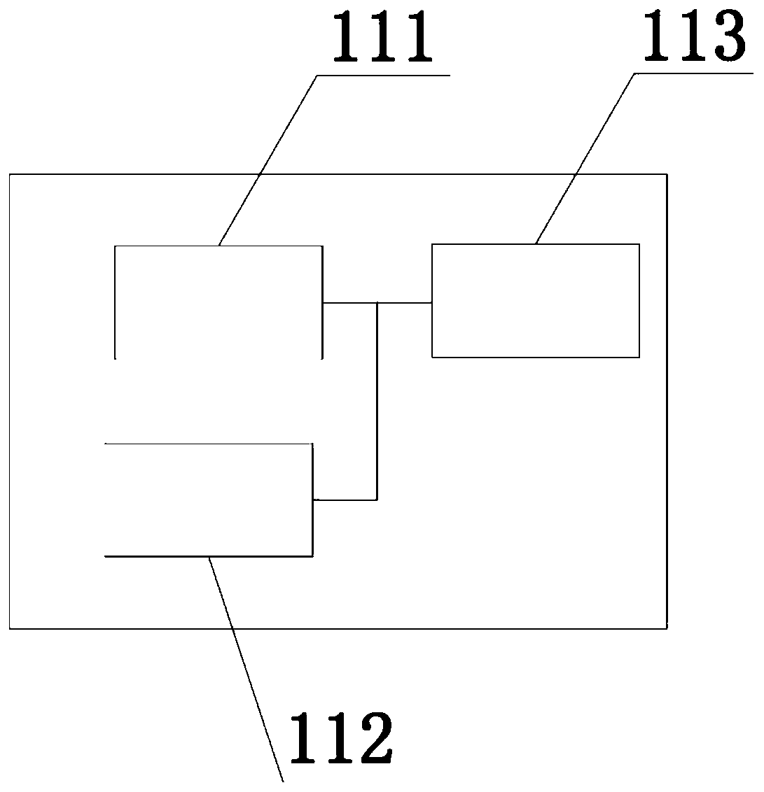
[0028] The unmanned aerial vehicle includes: unmanned aerial vehicle body (not shown in the figure), integrated pod 1, gimbal load 2, high-definition camera 3, AI load 4 and flight control module 5, described integrated pod 1, described The pan-tilt load 2, the high-definition camera 3, the AI ​​load 4 and the flight control module 5 are all arranged under the drone body, the pan-tilt load 2, the high-definition camera 3, the AI The payload 4 and the flight control module 5 are connected to the integrated pod 1 , ...


PUM


Abstract

The invention discloses an unmanned aerial vehicle air traffic control system. The unmanned aerial vehicle air traffic control system comprises a ground background supervision part and an unmanned aerial vehicle, the ground background supervision part is connected with the unmanned aerial vehicle through a base station. According to the unmanned aerial vehicle and the air traffic control system, the front-end equipment supports AI image algorithm processing, for different scene application requirements such as power line inspection, forest fire prevention and face recognition, the feature phenomenon is rapidly recognized through AI algorithm processing, and alarm information is sent to a cloud background system.

Description

technical field [0001] The invention relates to the technical field of unmanned aerial vehicles, in particular to an air traffic control system for unmanned aerial vehicles. Background technique [0002] The current status of the UAV ground-air data link on the market: the ground station equipment is generally composed of remote control, computer, video display, power supply system, radio and other equipment. Generally speaking, it is simply a computer (mobile phone, Tablet), a radio station and a remote control, the computer (mobile phone, tablet) is equipped with software to control the aircraft, the flight route of the aircraft is planned through the route planning tool, and the flight altitude, flight speed, flight location, flight mission, etc. are set through the data port The connected data transmission station compiles and transmits mission data to the flight controller. [0003] Some problems faced by UAV data link at present. First of all, the ability of the UAV ...

Claims


Application Information

Patent Timeline
IPC IPC(8): B64C39/02B64D47/08H04N7/18
CPCB64C39/024B64D47/08H04N7/183B64U50/19B64U2101/30B64U2201/20
Inventor 李飞李春旭龙海波谭伟陈曦徐宝才
Owner 北京长焜科技有限公司
Learn More