
Constellation co-orbital satellite autonomous navigation method and navigation system

A technology of autonomous navigation and orbit plane, applied in the field of satellite navigation, can solve problems such as difficult to realize

Active Publication Date: 2022-08-02
上海中科辰新卫星技术有限公司
View PDF7 Cites 0 Cited by
  • Summary
  • Abstract
  • Description
  • Claims
  • Application Information

AI Technical Summary

Problems solved by technology

[0006] The purpose of the present invention is to provide a satellite autonomous navigation method and navigation system in the same orbital plane of the constellation to solve the problem that the existing traditional centralized orbit determination algorithm for all constellation satellites is difficult to realize

Method used


Image

  • Constellation co-orbital satellite autonomous navigation method and navigation system
  • Constellation co-orbital satellite autonomous navigation method and navigation system
  • Constellation co-orbital satellite autonomous navigation method and navigation system

Examples


Embodiment Construction

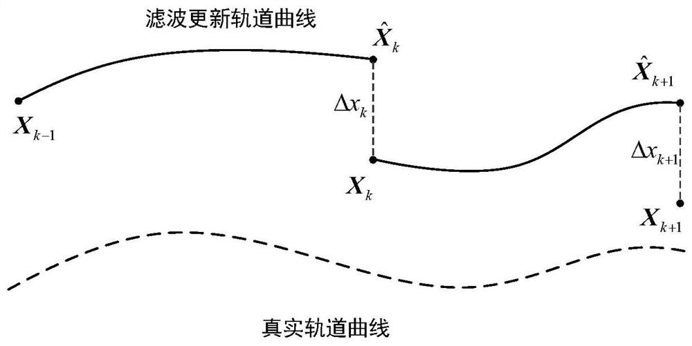
[0082] The autonomous navigation method and navigation system for constellation co-orbital plane satellites proposed by the present invention will be further described in detail below with reference to the accompanying drawings and specific embodiments. The advantages and features of the present invention will become apparent from the following description and claims. It should be noted that, the accompanying drawings are all in a very simplified form and in inaccurate scales, and are only used to facilitate and clearly assist the purpose of explaining the embodiments of the present invention.

[0083] The core idea of ​​the present invention is to provide an autonomous navigation method and a navigation system for a constellation co-orbital satellite, so as to solve the problem that the existing traditional full-constellation satellite centralized orbit determination algorithm is difficult to realize.

[0084] Due to the limitation of satellite data transmission capability an...


PUM


Abstract

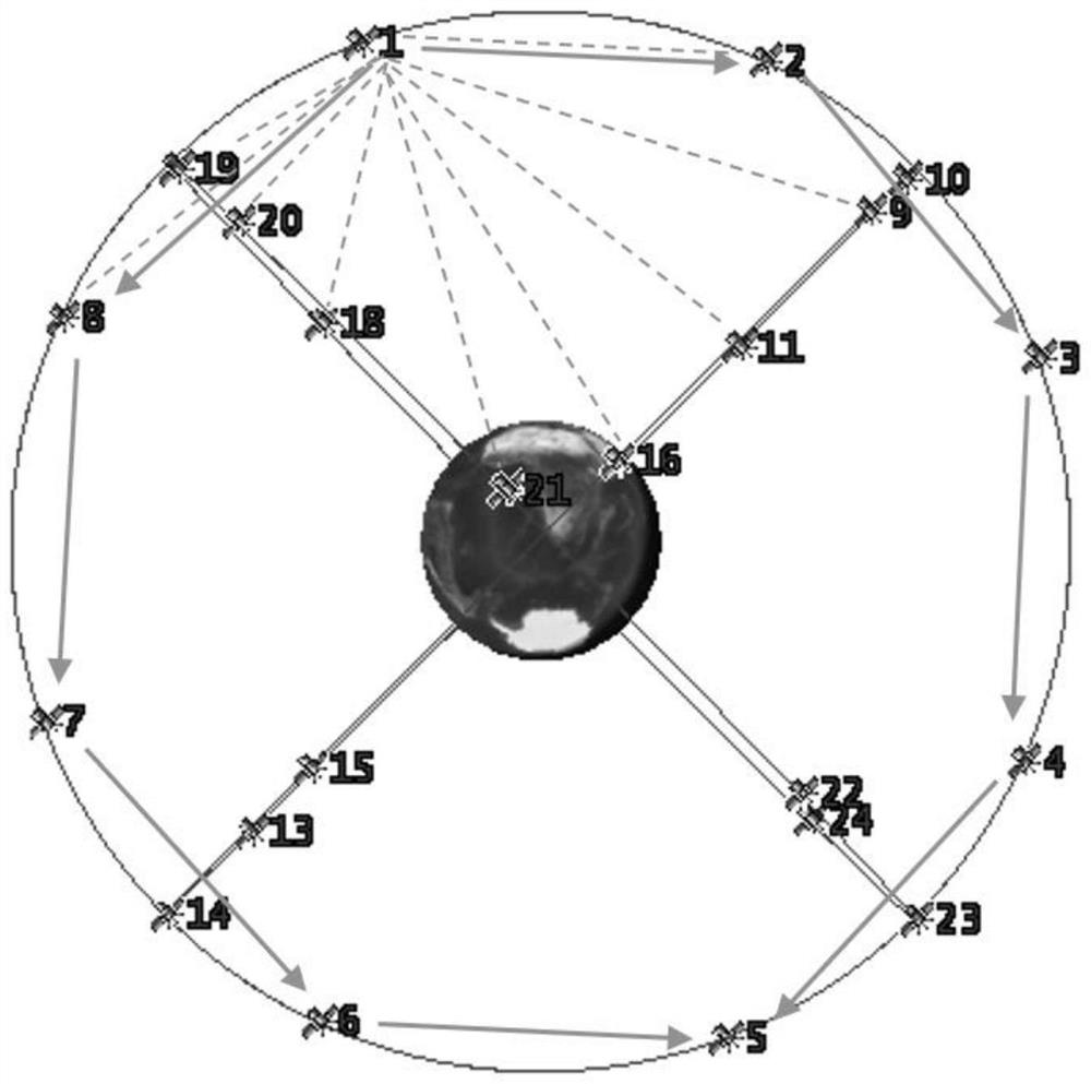
The invention provides an autonomous navigation method and a navigation system for satellites in the same orbital plane of a constellation. The obtained two-way ranging information is centrally processed to obtain the navigation information of each satellite in the orbital plane; each sub-satellite uses the Ka inter-satellite link to realize the inter-satellite ranging between the local satellite and other satellites, and the sub-satellites switch the phase of the Ka antenna phased array. Realize switching with surrounding satellites to establish chain ranging, and obtain the inter-satellite ranging information between the local satellite and the satellites on the same orbit, as well as the inter-satellite ranging information between the local satellite and the satellites on the different orbit; The laser terminal uses a laser link to establish a link with two adjacent satellites in the same orbit to realize high-speed data communication between satellites in the same orbit; each sub-satellite in the same orbit transmits information to the main satellite, and the main satellite uses the co-orbit area. The centralized navigation algorithm realizes the precise orbit determination of each satellite in the orbit plane.

Description

technical field [0001] The invention relates to the technical field of satellite navigation, in particular to an autonomous navigation method and a navigation system for a constellation co-orbital satellite. Background technique [0002] Satellite autonomous navigation means that the satellite can independently determine the satellite's sky position, speed and other information without external support. Ananda first proposed the autonomous navigation technology of constellation satellites, which can realize the determination of its own satellite navigation information by observing the inter-satellite distance from other satellites. Using the mutual ranging between the GPS constellation satellites and the satellite-to-ground UHF frequency band, the autonomous navigation algorithm proposed by Ananda was first successfully applied to the GPS BLOCK IIR constellation satellites. Using the inter-satellite observation information to correct the long-term forecast ephemeris, the GP...

Claims


Application Information

Patent Timeline
Patent Type & Authority Patents(China)
IPC IPC(8): G01S19/39G01S19/47G01S19/35
CPCG01S19/393G01S19/47G01S19/35
Inventor 林夏林宝军刘迎春白涛武国强
Owner 上海中科辰新卫星技术有限公司
Learn More