

Method and device for retrieving visible view from remote sensing image bare land
A remote sensing image and bare ground technology, applied in the combined application field of remote sensing image and deep learning technology, can solve problems such as computer jamming, high labor cost, low efficiency, etc., and achieve the effect of eliminating manual intervention, shortening completion time, and liberating manpower
- Summary
- Abstract
- Description
- Claims
- Application Information
AI Technical Summary
Problems solved by technology
Method used
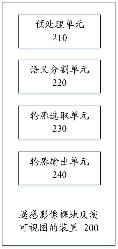
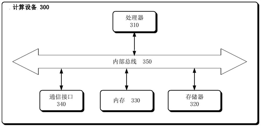
Image

Examples
Embodiment Construction
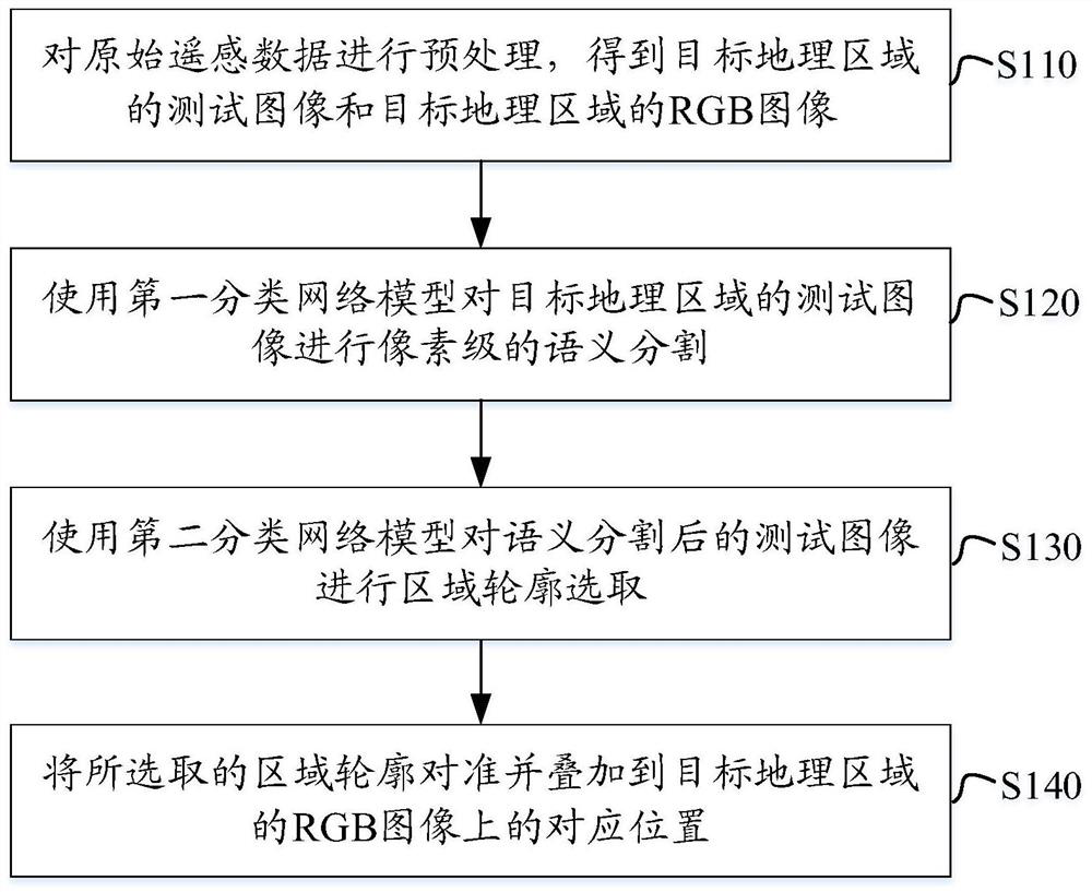
[0024] In the following, the method and device for inverting the visible view of the remote sensing image bare ground provided by the present invention will be explained and described in detail in conjunction with the accompanying drawings.
[0025] figure 1 It is a flow chart of a method for inverting a visible view from a remote sensing image bare ground provided by an embodiment of the present invention.
[0026] Such as figure 1 As shown, in step S110, the original remote sensing data is preprocessed to obtain the test image of the target geographic area and the RGB image of the target geographic area. Wherein, the target geographical area is, for example, a target city.
[0027] As an optional implementation, integrate the coordinates of the upper left corner in the original remote sensing data downloaded from the satellite, the resolution in the east-west direction, and the rotation angle information of the map to construct the reflection matrix required for the remote...
PUM
 Abstract
Description
Claims
Application Information