
Method for measuring and eliminating delay between sounding data and positioning data of unmanned ship

A technology for positioning data and unmanned ships, applied in satellite radio beacon positioning systems, surveying and navigation, radio wave measurement systems, etc. In order to achieve the effect of eliminating delay, eliminating physical delay, and eliminating propagation time and

Active Publication Date: 2021-06-04
SHANGHAI HUACE NAVIGATION TECH
View PDF4 Cites 1 Cited by
  • Summary
  • Abstract
  • Description
  • Claims
  • Application Information

AI Technical Summary

Problems solved by technology

Although the cost of this solution is low, the processing depends on the accuracy of the post-processing algorithm, and the actual operation is inefficient, and the time delay varies due to underwater terrain changes, and the estimated system delay is usually a single fixed value or depends on Due to the adaptability of the algorithm to the environment, it is difficult to meet the complex and changeable underwater terrain requirements, so the reliability is not high in waters with large terrain changes

Method used


Image

  • Method for measuring and eliminating delay between sounding data and positioning data of unmanned ship
  • Method for measuring and eliminating delay between sounding data and positioning data of unmanned ship
  • Method for measuring and eliminating delay between sounding data and positioning data of unmanned ship

Examples


Embodiment 1

[0063] refer to Figure 1-Figure 9 Shown; Determination and elimination method of the delay between unmanned ship bathymetric data and positioning data, specifically including:

[0064] Composition and principle of systematic delay in underwater terrain surveying and mapping

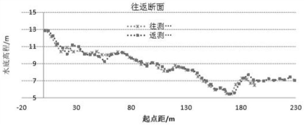
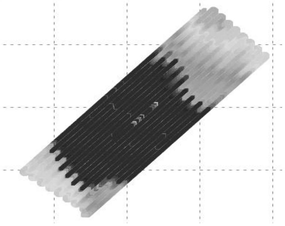
[0065] The sonar probe of the depth sounder transmits the measured water depth data to the sounding host, and the sounding host inputs the positioning data collected by the GNSS to the acquisition system through the internal serial port to complete the acquisition of the original sounding data. However, the time when the data of the depth sounder and the GNSS positioning data are input into the acquisition software is not consistent, but there is a time difference, which is the delay of the sounding system. The time delay will lead to the offset of the true position of the water depth, the incorrect matching of the water depth and the positioning data, and when the round-trip measurement is carried out ...


PUM


Abstract

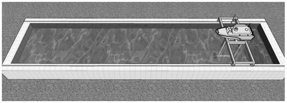
The invention discloses a method for measuring and eliminating delay between sounding data and positioning data of an unmanned ship. The method comprises the steps: providing an anechoic pool for single-beam precision measurement, installing a transducer of the unmanned ship on a support of the anechoic pool, transversely transmitting beams, and fixing a positioning module of the unmanned ship at the top of the support. Unique corresponding water depth values are positioned for different positions in the movement process of the unmanned ship, and synchronous change of the positioning data and the water depth data under the condition that the precision and the range are known is achieved. The invention realizesthe method for measuring and eliminating delay between sounding data and positioning data of the unmanned ship; and when GNSS data acquisition is carried out, a timestamp signal is transmitted to a depth finder, and after the time of transmitting a ping signal at the moment is recorded, and after the depth finder completes the ping search and returns depth data, packaging with previous waiting positioning data is carried out, so that the propagation time of sound waves and the processing delay of the data of the depth finder are eliminated.

Description

technical field [0001] The invention relates to the fields of unmanned ship measurement, single beam, GNSS, data fusion, system delay, measurement method, etc., and specifically relates to a method for measuring and eliminating the delay between unmanned ship sounding data and positioning data. Background technique [0002] The existing underwater topographic measurement methods currently used are mainly the traditional measurement method based on water level minus water depth and the GPS-RTK underwater topographic measurement method without tide level. In traditional underwater topographic surveying, the instantaneous water level at the survey ship is provided by the data of water level stations located around the survey area. The water level at the water level station only reflects the water level at its location, but cannot accurately reflect the water level at the location of the measuring ship. The water level model is usually designed based on the water level change l...

Claims


Application Information

Patent Timeline
Patent Type & Authority Applications(China)
IPC IPC(8): G01C13/00G01S19/37G06F17/18H04J3/06H04W56/00
CPCG01C13/008G01S19/37G06F17/18H04W56/004H04J3/0682Y02A90/30
Inventor 胡金鑫韩萌萌赵博张超叶芳飞刘波
Owner SHANGHAI HUACE NAVIGATION TECH
Learn More