A multifunctional geological compass

A multi-functional and geological technology, applied in the directions of compass, instrument, surveying and mapping and navigation, etc., can solve the problems of inaccurate measurement data, high operator requirements, inaccurate measurement data, etc., to achieve convenient operation, low operator requirements, Easy-to-use effects

Active Publication Date: 2022-05-03
任鑫鑫
View PDF9 Cites 1 Cited by
  • Summary
  • Abstract
  • Description
  • Claims
  • Application Information

AI Technical Summary

Problems solved by technology

The geological compass has the advantages of easy use and wide application. When the existing geological compass measures the occurrence of rock formations, the geological compass must be held up by hand. The upper cover must be kept parallel to the back-measured rock formations. It is difficult to keep the upper cover parallel to the rock strata in the outcrop, which makes the measured data inaccurate. In addition, because the dip angle measurement and the dip and strike measurement cannot be carried out at the same time, it is necessary to mark the dip after dip or strike measurement Measurement, the measurement process is cumbersome, and the final inclination measurement data may be inaccurate after repeated operations, which requires high requirements for operators and poor use effect

Method used


Image

  • A multifunctional geological compass
  • A multifunctional geological compass
  • A multifunctional geological compass

Examples


Embodiment Construction

[0020] combined with Figure 1-7 , the specific embodiment of the present invention is described as follows:

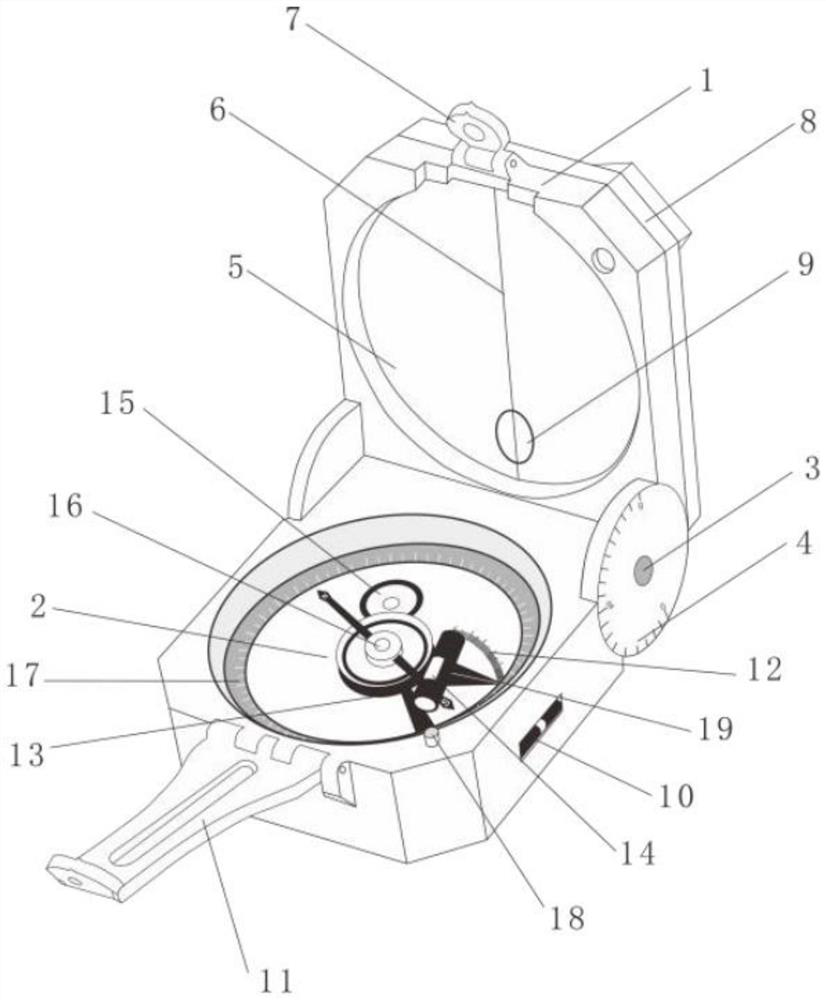
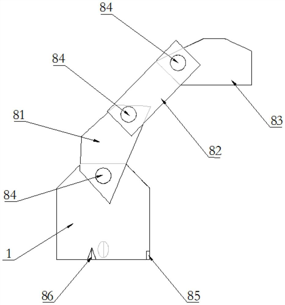
[0021] Such as Figure 1-7 As shown, a multifunctional geological compass includes a housing 1, a base 2, and a connecting shaft 3 connecting the housing 1 and the base 2. A roll angle disc 4 is provided outside the connecting shaft 3 at the lower part of the housing 1.

[0022] The inner surface of the housing 1 is inlaid with a reflector 5, the middle part of the reflector 5 is provided with a line of sight 6, the upper part of the housing 1 is rotatably connected with a short sight 7, and the inner surface of the housing 1 is provided with an aiming window 9.

[0023] The upper end surface of the base 2 is movably connected with a stop tray 13 and a magnetic needle 16, and the upper end surface of the base 2 outside the stop tray 13 and the magnetic needle 16 is provided with an annular horizontal dial 17, and a side air bubble is fixedly installed on the side end...


PUM


Abstract

The invention discloses a multi-functional geological compass, which comprises a shell, a base, and a connecting shaft connecting the shell and the base, a roll angle plate is arranged on the outer side of the connecting shaft at the lower part of the shell, and a reflector is inlaid on the inner surface of the shell. A stop tray and a magnetic needle are movably connected inside the upper end surface of the base, and an annular horizontal dial is arranged on the upper end surface of the base outside the stop tray and the magnetic needle. Locking mechanisms are provided on the arms. The multi-functional geological compass of the present invention is simple and practical, and has a compact structure. The contact mode of the housing is expanded by the rotating arm of the housing, and the measurement accuracy is improved; the inclination measurement and the inclination and direction measurement can be carried out simultaneously, the process is simple, the use is convenient, and the data is accurate. It has low requirements for operators and good use effect.

Description

technical field [0001] The invention relates to the technical field of geological surveying, in particular to a multifunctional geological compass. Background technique [0002] Geological compass, also known as "pocket theodolite", is a tool for identifying directions, determining positions, measuring geological occurrences and rough topographic maps in field geological work. It mainly includes magnetic needles, levels and inclinometers. It can be divided into chassis, The shell, the upper cover, and the main instruments are all fixed on the chassis, and the three are connected into a whole with hinges. The geological compass has the advantages of convenient use and wide range of uses. When the existing geological compass measures the occurrence of rock formations, the geological compass must be held flat by hand. The upper cover must be kept parallel to the back-measured rock formations. It is difficult to keep the upper cover parallel to the rock strata in the outcrop, w...

Claims


Application Information

Patent Timeline
Patent Type & Authority Patents(China)
IPC IPC(8): G01C17/04
CPCG01C17/04
Inventor 任鑫鑫
Owner 任鑫鑫
Why Eureka
Try Eureka