Method for planning the acquisition of images of areas of the earth by a spacecraft

a spacecraft and image acquisition technology, applied in image data processing, forecasting, cosmonautic components, etc., can solve the problems of increasing the number of requests to be processed by such a spacecraft, difficult to solve in a reasonable amount of time, and it is not possible to make full use of this capability

Active Publication Date: 2019-08-27
AIRBUS DEFENCE & SPACE
View PDF6 Cites 1 Cited by
  • Summary
  • Abstract
  • Description
  • Claims
  • Application Information

AI Technical Summary

Benefits of technology

[0011]The aim of the present invention is to overcome all or some of the drawbacks of the prior art, in particular those summarized above, by providing a solution that makes it possible to have a planning method which is optimum with regard to meeting local and cumulative constraints of a spacecraft and that makes it possible to take into account those terrestrial areas which have to be acquired a plurality of times or else a single time.
[0020]In one particular mode of implementation, the step of determining an optimum sequence includes dynamically updating a variable pathMesh storing the areas Zi that are associated with the discrete acquisition opportunities of said sequence, so as to prevent the duplication of discrete acquisition opportunities for areas having to be acquired a single time.

Problems solved by technology

Consequently, the requests to be processed by such a spacecraft are continually increasing both in terms of number and in terms of complexity, inasmuch as these requests contain highly specific constraints that are associated with the terrestrial area to be acquired, such as for example localization or light exposure conditions, or else the requirement for multiple acquisitions with a view to obtaining stereo, tri-stereo or multispectral images.
It is therefore understood that the aim consisting in fulfilling a set of such requests is a very highly constrained problem for which it is necessary to plan the imaging to be performed over time, according to the orbit of said spacecraft.
More broadly, such a problem comes under the category of “traveling salesman” optimization problems, which are well known for being very difficult to solve in a reasonable amount of time.
The problem is particularly critical in the case in which the user request must be fulfilled within a short timeframe.
However, it is only possible to make full use of this capability if the acquisition plan can also be updated within short timeframes.
Although it is known that high-quality approximation solutions to such a planning problem can be provided by virtue of heuristic optimization techniques (for example greedy algorithms), their computation times are not satisfactory considering the volume of requests to be processed under operational conditions.
Although some of these techniques do indeed allow cumulative constraints to be taken into account, none of them allows the acquisition of stereo, tri-stereo or multispectral images to be taken into account, in particular in the case of an observation satellite operating in pushbroom mode.
As such, these techniques are limiting and not optimal with regard to the number of requests that they are able to fulfill.

Method used


Image

  • Method for planning the acquisition of images of areas of the earth by a spacecraft
  • Method for planning the acquisition of images of areas of the earth by a spacecraft

Examples


Embodiment Construction

[0045]The present invention belongs to the field of planning the acquisition of images of terrestrial areas by a spacecraft on a mission around the Earth following a predetermined traveling orbit.

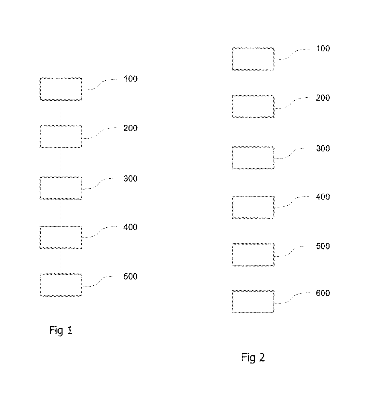
[0046]FIG. 1 shows a flowchart of one exemplary implementation of a method for planning the acquisition of images of terrestrial areas Z1, . . . , ZN by a spacecraft.

[0047]The term “acquisition of images” is understood here to mean measuring electromagnetic radiation received from said terrestrial areas Z1, . . . , ZN. For this purpose, the spacecraft includes an optical system that is intended to carry out a plurality of image acquisition operations, said optical system additionally including sensors that are suitable for measuring said electromagnetic radiation. Said images are ultimately converted into a digital format and stored within a limited-capacity memory on board said spacecraft.

[0048]The aim of the remainder of the description is more specifically, but non-limitingly, a method f...


PUM


Abstract

A method for planning the acquisition of images of areas Z1, . . . , ZN of the Earth, by a spacecraft on a mission around the Earth. Each area Zi of the Earth being associated with a request Ri such that a visual accessibility time interval Ti corresponds to the area Zi. For each interval Ti, discrete acquisition opportunities for acquiring area Zi are determined such that a start date, a period of execution, a local kinematic constraint and a weight is associated with each of the discrete acquisition opportunities. The discrete acquisition opportunities for acquiring areas Zi are grouped into a set D. The discrete acquisition opportunities Di of the set D are categorized by ascending start date. The kinematic compatibility between the discrete acquisition opportunities of set D is assessed. An optimal sequence of discrete acquisition opportunities is determined having a maximum weight, and being kinematically compatible.

Description

RELATED APPLICATIONS[0001]This application is a § 371 application from PCT / FR2016 / 051963 filed Jul. 28, 2016, which claims priority from French Patent Application No. 15 57215 filed Jul. 28, 2015, each of which is incorporated herein by reference in its entirety.TECHNICAL FIELD[0002]The present invention belongs to the field of terrestrial imaging by spacecraft, such as observation satellites, and relates more particularly to a method for planning the acquisition of images of terrestrial areas by a spacecraft or a constellation of such spacecraft. The invention is particularly advantageously, but completely non-limitingly, applicable to the case of observation satellites operating in a mode of acquiring images line by line, which mode is referred to hereinafter by the term “pushbroom” mode known to those skilled in the art.BACKGROUND OF THE INVENTION[0003]The terrestrial observation missions carried out by a spacecraft consist in acquiring images of terrestrial areas, i.e. areas loc...

Claims


Application Information

Patent Timeline
Patent Type & Authority Patents(United States)
IPC IPC(8): B64G1/10G06Q10/06G06T1/00G06Q10/04G06T7/00
CPCG06Q10/06G06Q10/04B64G1/1021B64G1/1028G06T1/0007G06T7/0002G06T2207/30181
Inventor BLANC-PÂQUES, PIERRE
Owner AIRBUS DEFENCE & SPACE
Why Eureka
Try Eureka