
Valuation of properties bordering specified geographic features

a technology of geographic features and property valuation, applied in the field of property valuation, can solve the problems of difficult avm environment, difficult to account for proximity to many of these features in the appropriate way,

Inactive Publication Date: 2012-12-20
FANNIE MAE
View PDF4 Cites 34 Cited by
  • Summary
  • Abstract
  • Description
  • Claims
  • Application Information

AI Technical Summary

Benefits of technology

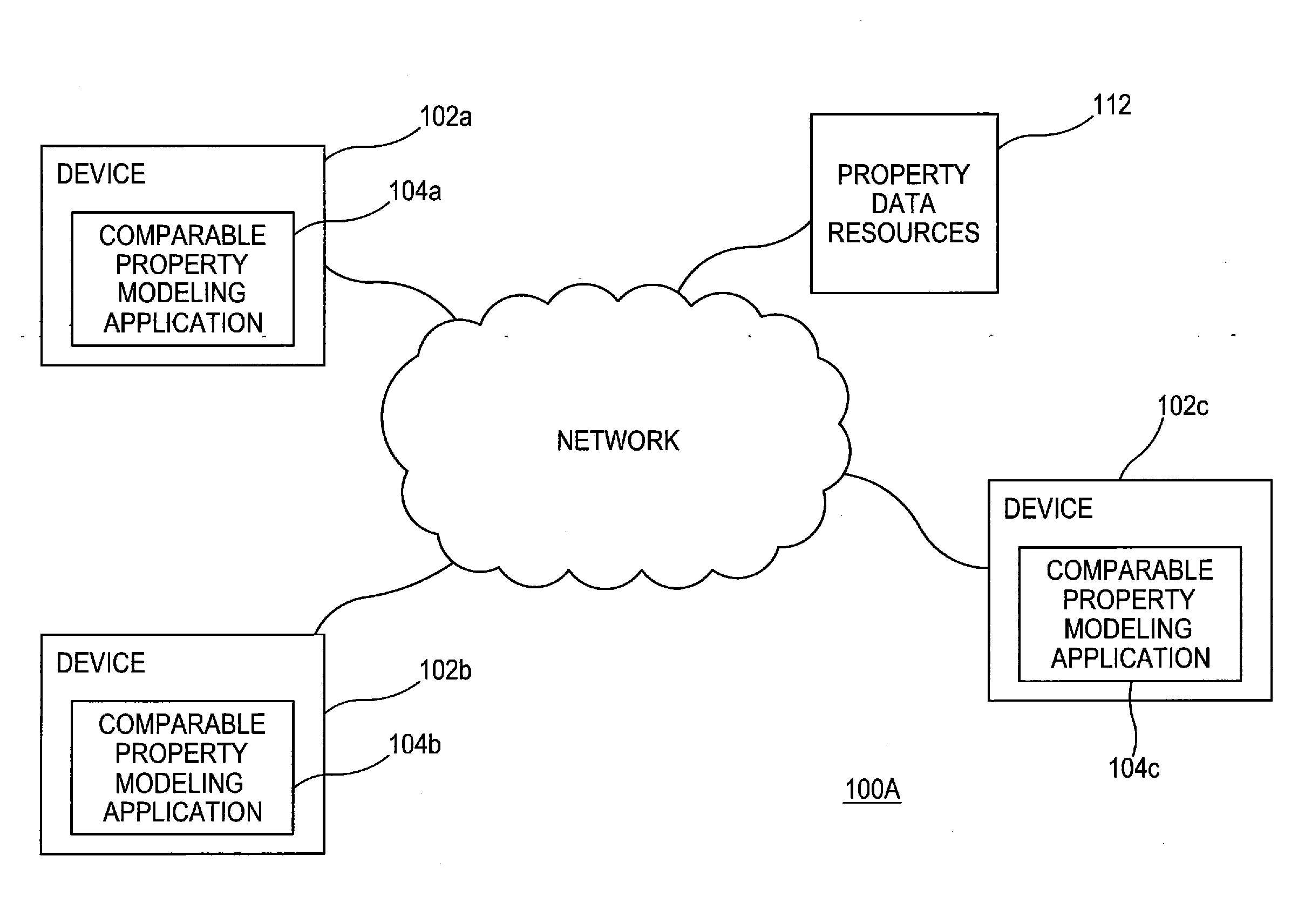
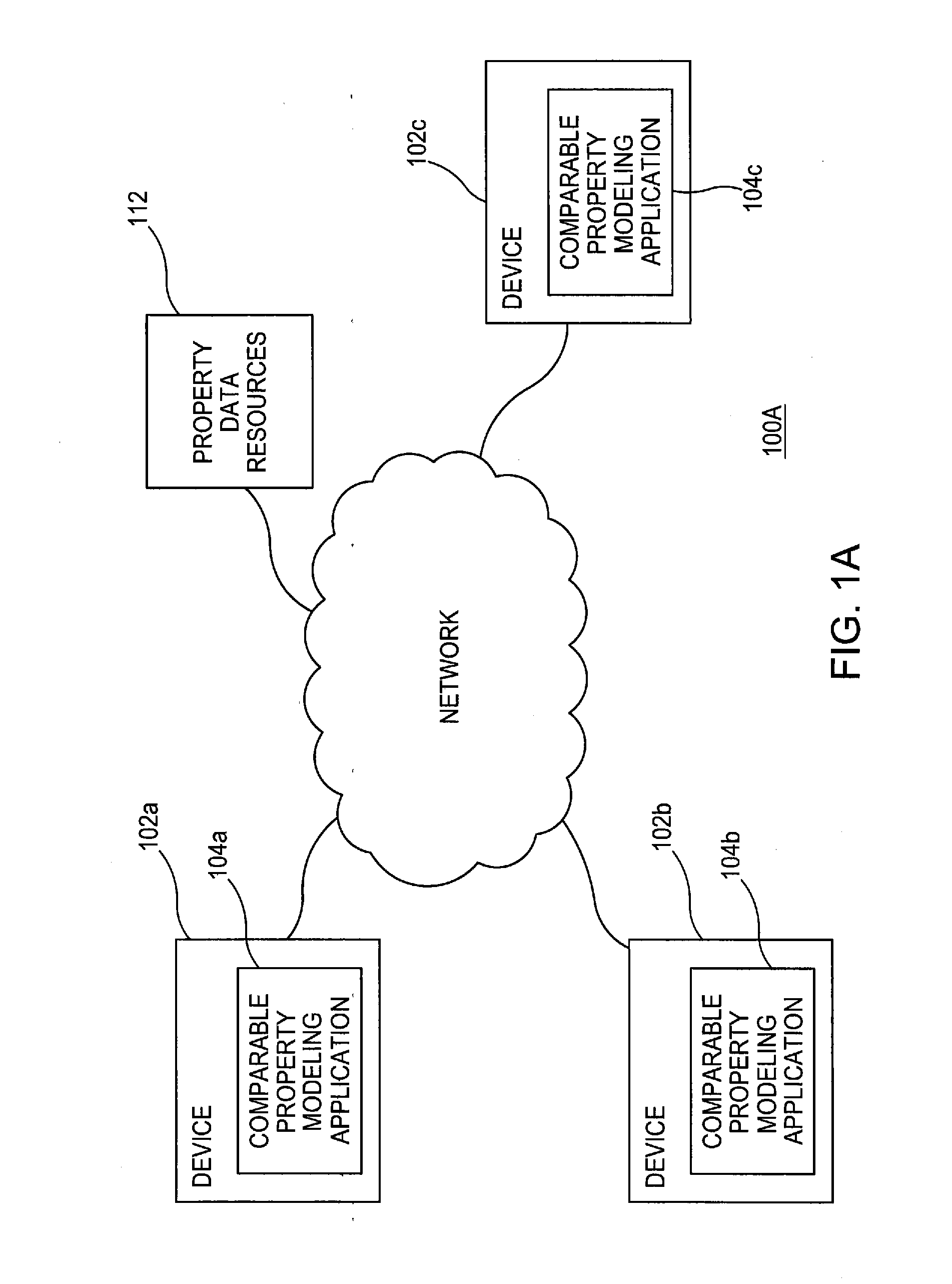
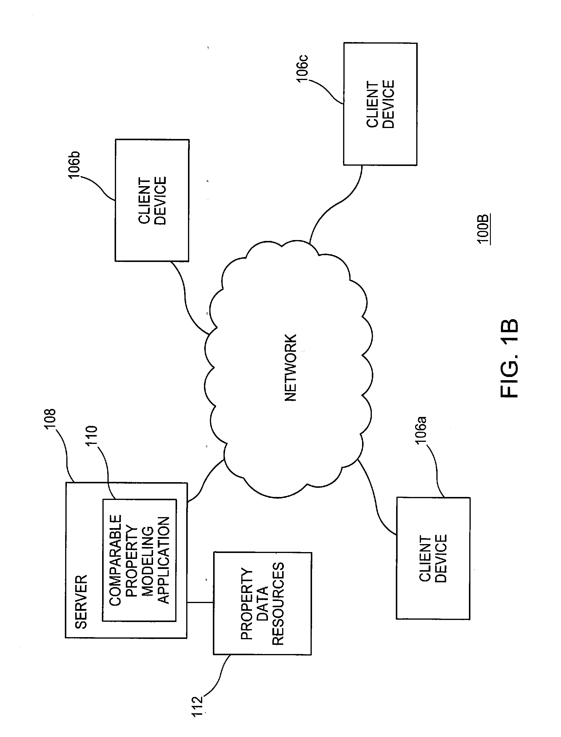
[0008]According to one aspect, the present invention models comparable properties and renders map images and associated information useful for analyzing comparable properties. Preferably, the valuation model ide

Problems solved by technology

However, accounting for proximity to many of these features appropriately would be difficult in the AVM environment, due to the high volume of property data and the irregularity of corresponding geographic features.

Method used


Image

  • Valuation of properties bordering specified geographic features
  • Valuation of properties bordering specified geographic features
  • Valuation of properties bordering specified geographic features

Examples


Embodiment Construction

[0021]In the following description, for purposes of explanation, numerous details are set forth, such as flowcharts and system configurations, in order to provide an understanding of one or more embodiments of the present invention. However, it is and will be apparent to one skilled in the art that these specific details are not required in order to practice the present invention.

[0022]According to one aspect, the present invention models comparable properties and renders map images and associated information useful for analyzing comparable properties. Preferably, the valuation model identifies and accounts for the proximity of properties to geographic features. For example, the valuation model may automatically determine properties bordering a body of water and provide adjustments accordingly.

[0023]In one embodiment, estimating property value includes accessing property data corresponding to a geographic area and performing a regression based upon the property data. The regression ...


PUM


Abstract

Modeling comparable properties and rendering map images with automatic valuation of properties bordering specified geographic features. A valuation model identifies and accounts for the proximity of properties to geographic features. For example, estimating property value includes accessing property data corresponding to a geographic area and performing a regression based upon the property data. The regression models the relationship between price and explanatory variables, with the explanatory variables including proximity to geographic features. Proximity may be a categorical variable wherein properties bordering the geographic feature are determined to possess the proximity characteristic. Alternative explanatory variables may incorporate different degrees of proximity.

Description

BACKGROUND OF THE INVENTION[0001]1. Field of the Invention[0002]This application relates generally to property valuation, more particularly to valuation of properties proximate to specified geographic features, and still more particularly to predicting values of properties that border specified geographic features using a geographic information system (GIS) and an automated valuation model (AVM).[0003]2. Description of the Related Art[0004]Geographic information systems (GIS) are tools that relate various kinds of data to geographic location data. They can be applied to any area where decisions will be made based on geographic distribution of data.[0005]Automated valuation models (AVM) have seen increasing use in the real estate market since the 1990s when they first entered wide use by institutional investors in the market. They are used to reduce the time and money required to arrive at accurate prices for properties otherwise generated by individual human appraisers. The accuracy...

Claims


Application Information

Patent Timeline
IPC IPC(8): G06Q50/00G06Q30/00
CPCG06Q30/02G06Q50/16
Inventor DEN HERDER, NATHAN PIETERFOUT, HAMILTONPIERCE, STEVEN L.ROSENBLATT, ERICTREADWELL, JOHN D.
Owner FANNIE MAE
Learn More